MyTopo
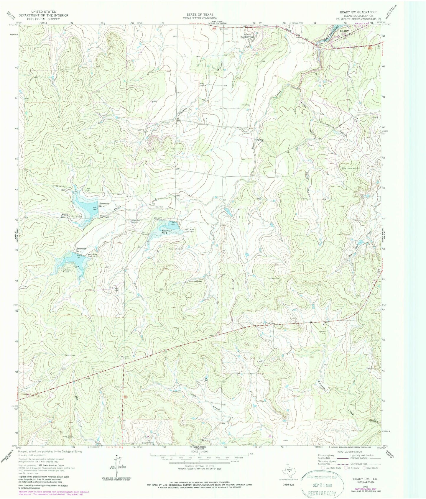
Classic USGS Brady SW Texas 7.5'x7.5' Topo Map
Couldn't load pickup availability
Historical USGS topographic quad map of Brady SW in the state of Texas. Map scale may vary for some years, but is generally around 1:24,000. Print size is approximately 24" x 27"
This quadrangle is in the following counties: McCulloch.
The map contains contour lines, roads, rivers, towns, and lakes. Printed on high-quality waterproof paper with UV fade-resistant inks, and shipped rolled.
Contains the following named places: Blue Well Windmill, Bridge Windmill, Double Well Windmill, Fivemile Hollow, Herbert Windmill, Little Bear Creek, Number One Windmill, Number Two Windmill, Pen Windmill, Reservoir Number Five, Reservoir Number Four, Reservoir Number Six, Soil Conservation Service Site 4 Dam, Soil Conservation Service Site 5 Dam, Soil Conservation Service Site 6 Dam, Soil Conservation Service Site 6 Reservoir, South Pasture Windmill, Sulphur Windmill, Truman Windmill, ZIP Code: 76825