MyTopo
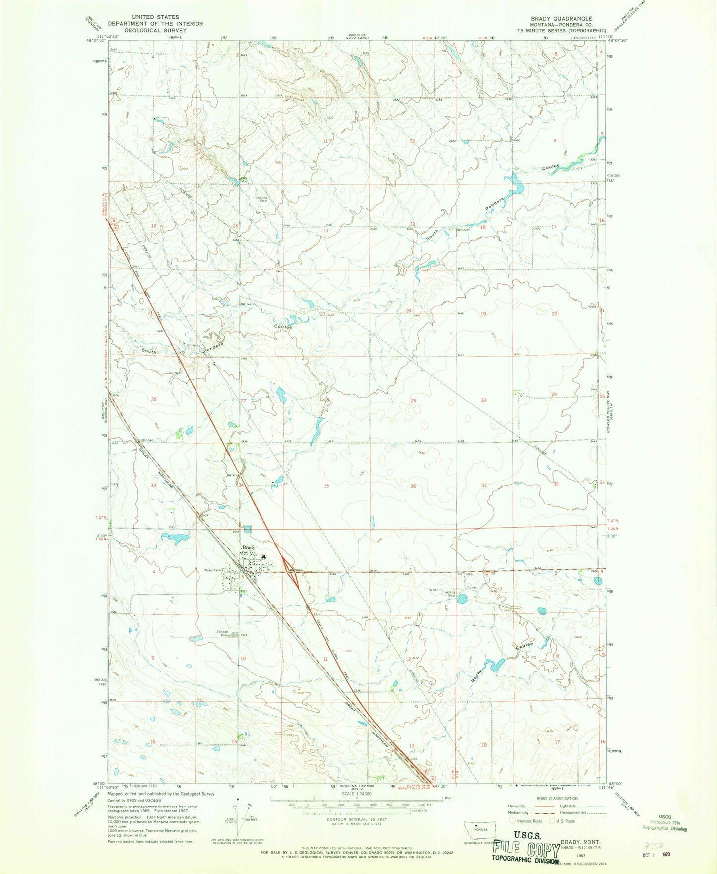
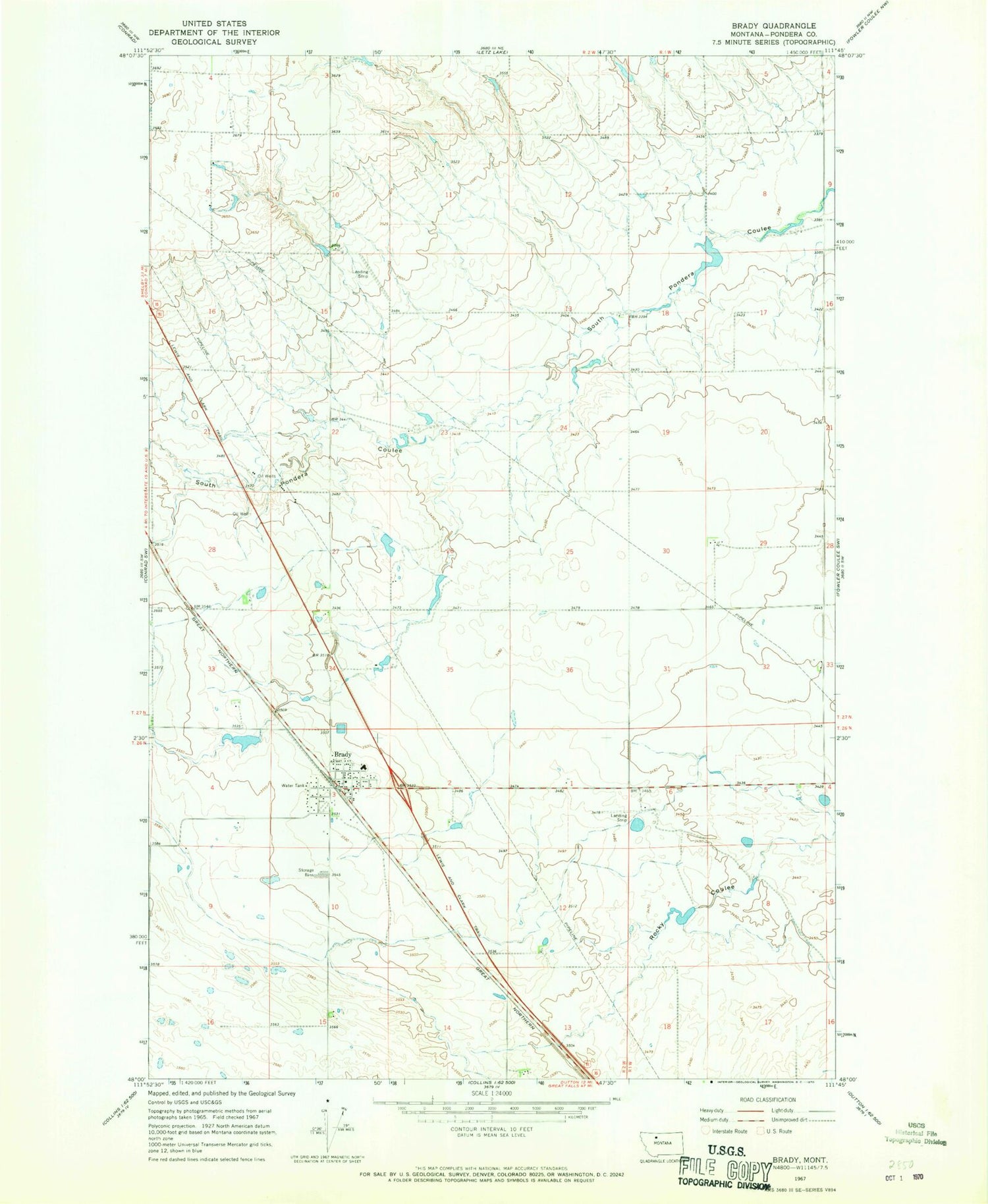
Classic USGS Brady Montana 7.5'x7.5' Topo Map
Couldn't load pickup availability
Historical USGS topographic quad map of Brady in the state of Montana. Map scale may vary for some years, but is generally around 1:24,000. Print size is approximately 24" x 27"
This quadrangle is in the following counties: Pondera.
The map contains contour lines, roads, rivers, towns, and lakes. Printed on high-quality waterproof paper with UV fade-resistant inks, and shipped rolled.
Contains the following named places: Brady, Brady Census Designated Place, Brady Coulee, Brady Post Office, Brady Public Schools, Brady United Methodist Church, Brady Volunteer Fire Department, Freds Trailer Court, Great Western Malting Company Elevator, Kauk Dam, Knees Community Church, Otilalda Dam, Pondera County Rural Fire District Station 1, Rigby Dam, South Rigby Dam, Triangle Terminal Co-Operative Association Elevator