MyTopo
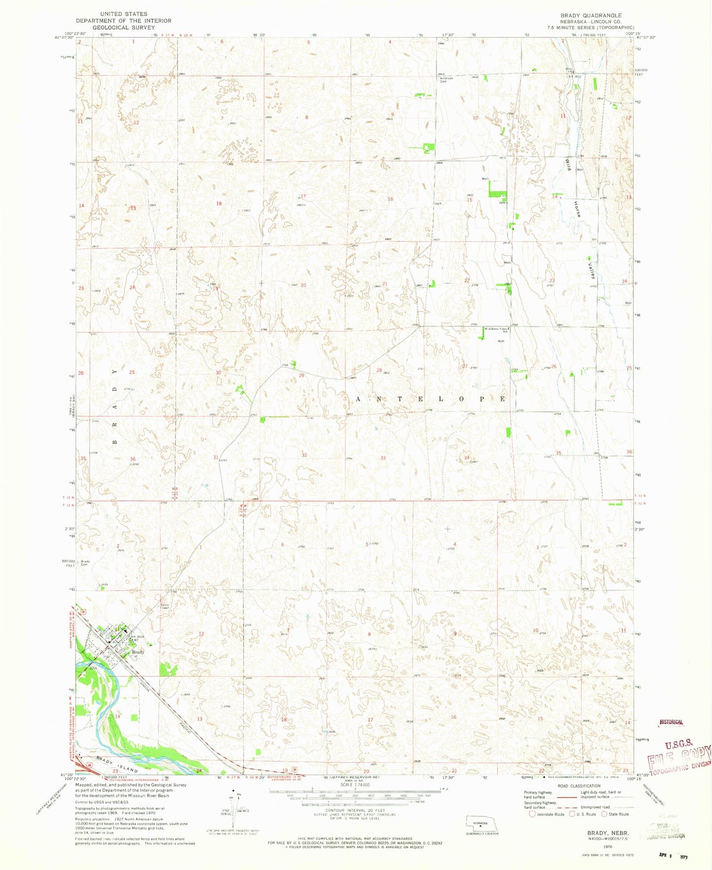
Classic USGS Brady Nebraska 7.5'x7.5' Topo Map
Couldn't load pickup availability
Historical USGS topographic quad map of Brady in the state of Nebraska. Map scale may vary for some years, but is generally around 1:24,000. Print size is approximately 24" x 27"
This quadrangle is in the following counties: Lincoln.
The map contains contour lines, roads, rivers, towns, and lakes. Printed on high-quality waterproof paper with UV fade-resistant inks, and shipped rolled.
Contains the following named places: Antelope Cemetery, Berean Fundamental Church, Brady, Brady Post Office, Brady Public Schools, Brady Rural Health Clinic, Brady Volunteer Fire and Rescue, Farmland Service Coop Incorporated Elevator, Fort Brady Museum, Pawnee Creek, Svea Church, United Methodist Church, Village of Brady, Wild Horse Valley School, ZIP Code: 69123