MyTopo
Classic USGS Braggs Alabama 7.5'x7.5' Topo Map
Couldn't load pickup availability
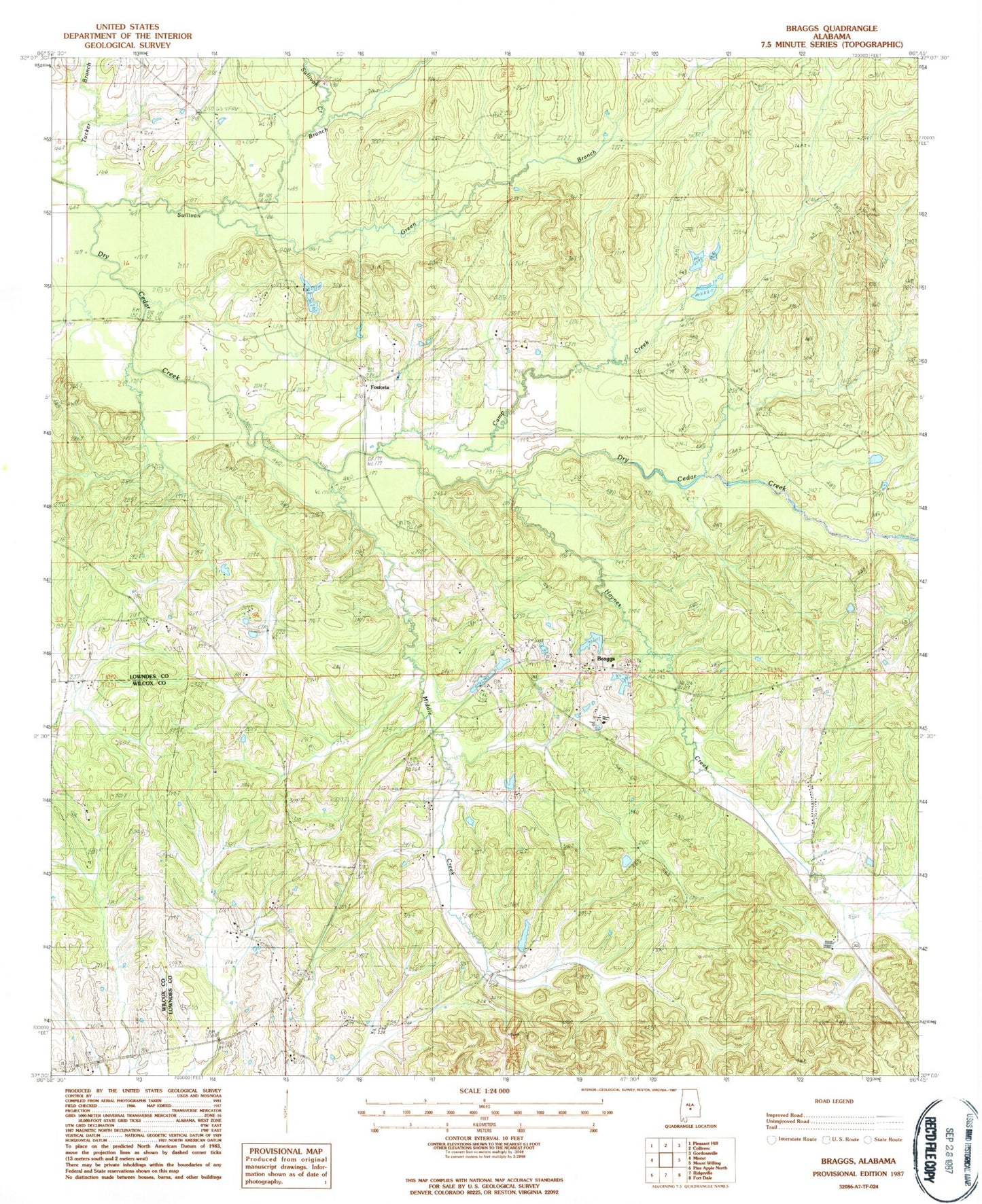
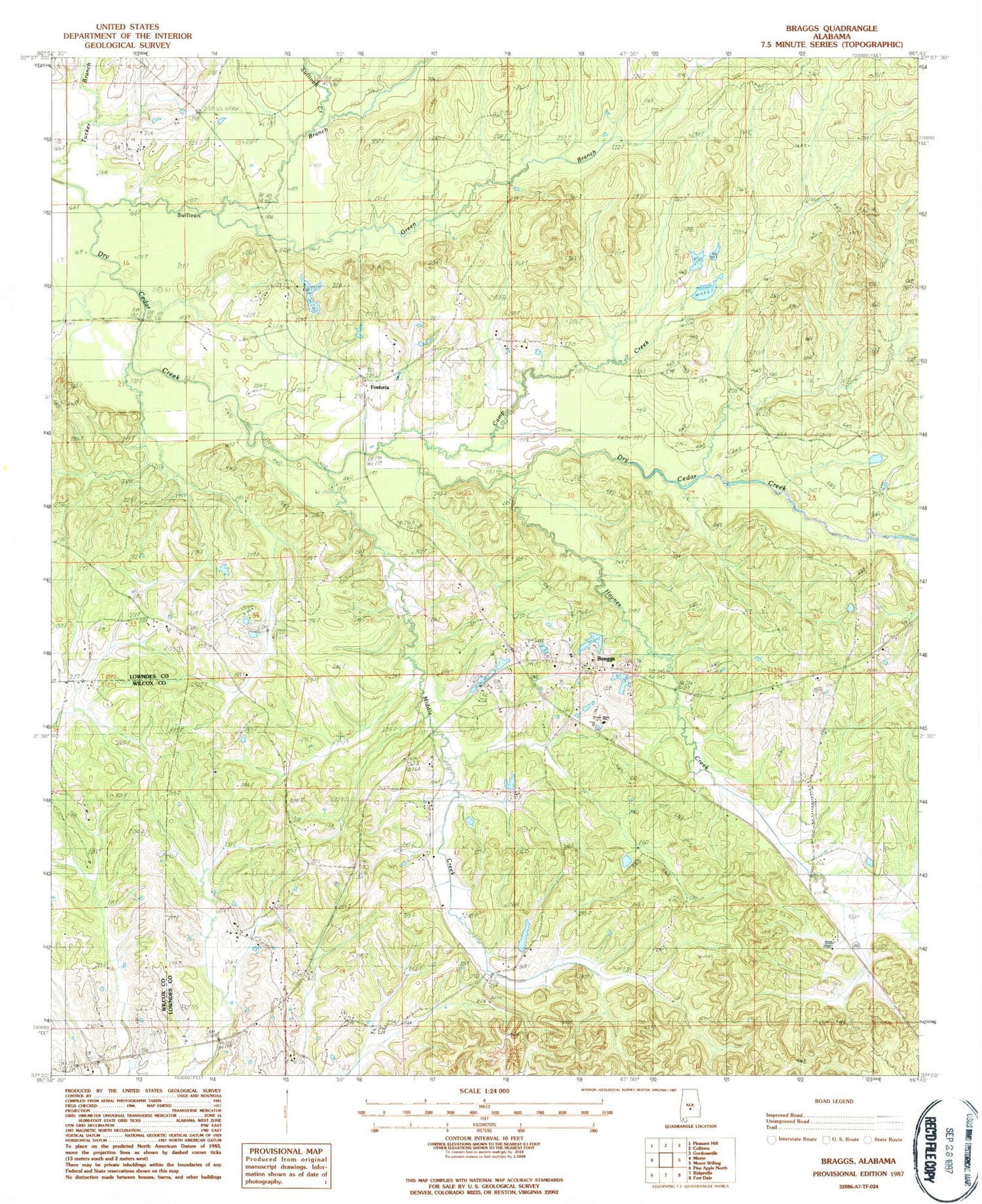
Historical USGS topographic quad map of Braggs in the state of Alabama. Map scale may vary for some years, but is generally around 1:24,000. Print size is approximately 24" x 27"
This quadrangle is in the following counties: Lowndes, Wilcox.
The map contains contour lines, roads, rivers, towns, and lakes. Printed on high-quality waterproof paper with UV fade-resistant inks, and shipped rolled.
Contains the following named places: Braggs, Braggs Church, Braggs Store Post Office, Camp Creek, Container Corporation Lake, Container Corporation Lake Dam, Crossroad Cemetery, Crossroads Church, Crum Cemetery, Drane, Dutch Bend School, Florence Cabiniss Lake, Florence Cabiniss Lake Dam, Fostoria, Four Oaks School, Godwin School, Green Branch, Haynes Creek, Middle Creek, Mosses Division, Mount Clair Church, Mount Clair School, Mount Clear Church, New Bethel Cemetery, New Bethel Church, New Salem Church, Oak Grove Church, Oliver Cemetery, Pine Flat Baptist Church, Pine Flat School, Quailwood Farms Lakes, Sills Cemetery, Sullivan Branch, Sullivan Creek, White Lily Church, Wood School, Zion Chapel Church