MyTopo
Classic USGS Branch Arkansas 7.5'x7.5' Topo Map
Couldn't load pickup availability
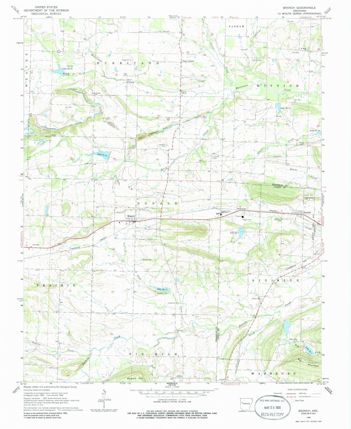
Historical USGS topographic quad map of Branch in the state of Arkansas. Map scale may vary for some years, but is generally around 1:24,000. Print size is approximately 24" x 27"
This quadrangle is in the following counties: Franklin, Logan.
The map contains contour lines, roads, rivers, towns, and lakes. Printed on high-quality waterproof paper with UV fade-resistant inks, and shipped rolled.
Contains the following named places: Assembly of God Church, Boydston Cemetery, Branch, Branch City Rural Fire and Rescue, Branch Post Office, Brooklyn Freewill Baptist Church, Caney Creek, Cedar Grove Church, Church of Christ, City of Branch, City of Ratcliff, Coles Chapel, Council Cemetery, County Line Elementary School, County Line High School, Crossno Cemetery, Dahoma, Donald, Dry Fork, Effa, Fealey, First Baptist Church, First United Methodist Church, Free Will Baptist Church, Full Gospel Bible Church, Grand Prairie Church, Hampton Cemetery, Henderson Cemetery, Hewitt Lake, Hewitt Lake Dam, Hunter Cemetery, Kersey Cemetery, King Cemetery, Lake Number Eight, Lake Number Thirteen, Lake Number Three, Lake Number Twentyfive, Lake Number Twentyfour, Lake Number Twentythree, Lowes Creek, Metcalf Hill, Moffett Cemetery, Mount Hope Church, Perry Creek, Peter Pender, Pony Creek, Prairie Creek, Ratcliff, Ratcliff Post Office, Ratcliff Rural Fire Department, Saint Anthonys Church, Six Mile Creek Watershed Site Eight Dam, Sixmile Creek Site 13 Dam, Sixmile Creek Site 13 Reservoir, Sixmile Creek Site 23 Dam, Sixmile Creek Site 24 Dam, Sixmile Creek Site 25 Dam, Sixmile Creek Site 25 Reservoir, Sixmile Creek Watershed Site Three Dam, Spirits Creek, Township of Donald, Township of Hurricane, Township of Six Mile, Watson Lake, Watson Lake Dam, Wilcox Cemetery, ZIP Code: 72928


