
MyTopo
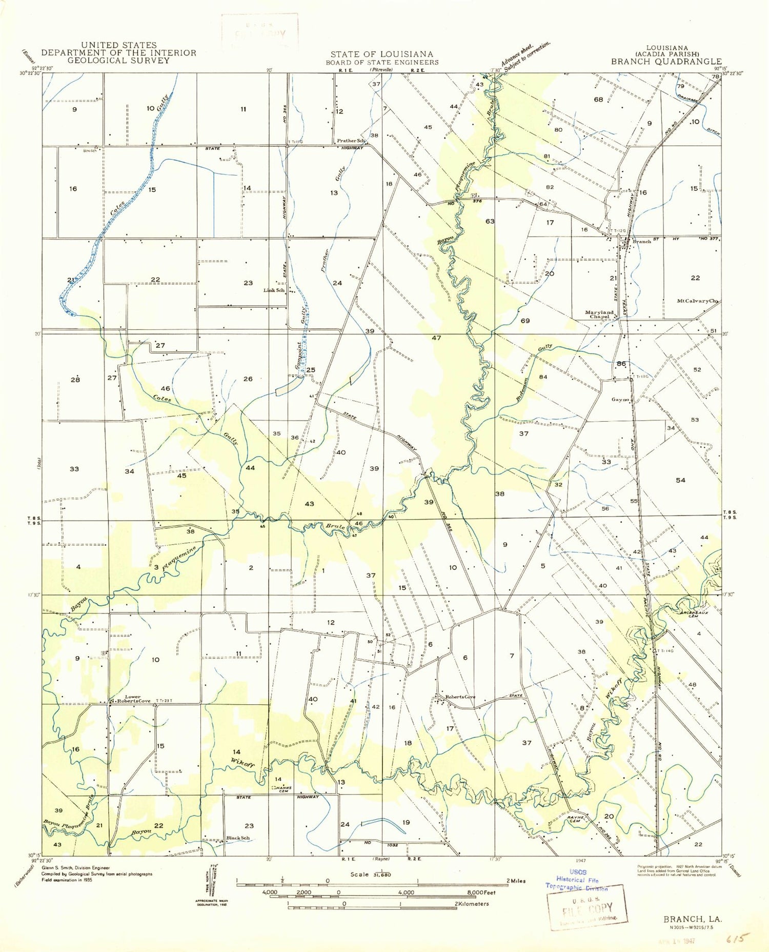
Classic USGS Branch Louisiana 7.5'x7.5' Topo Map
Couldn't load pickup availability
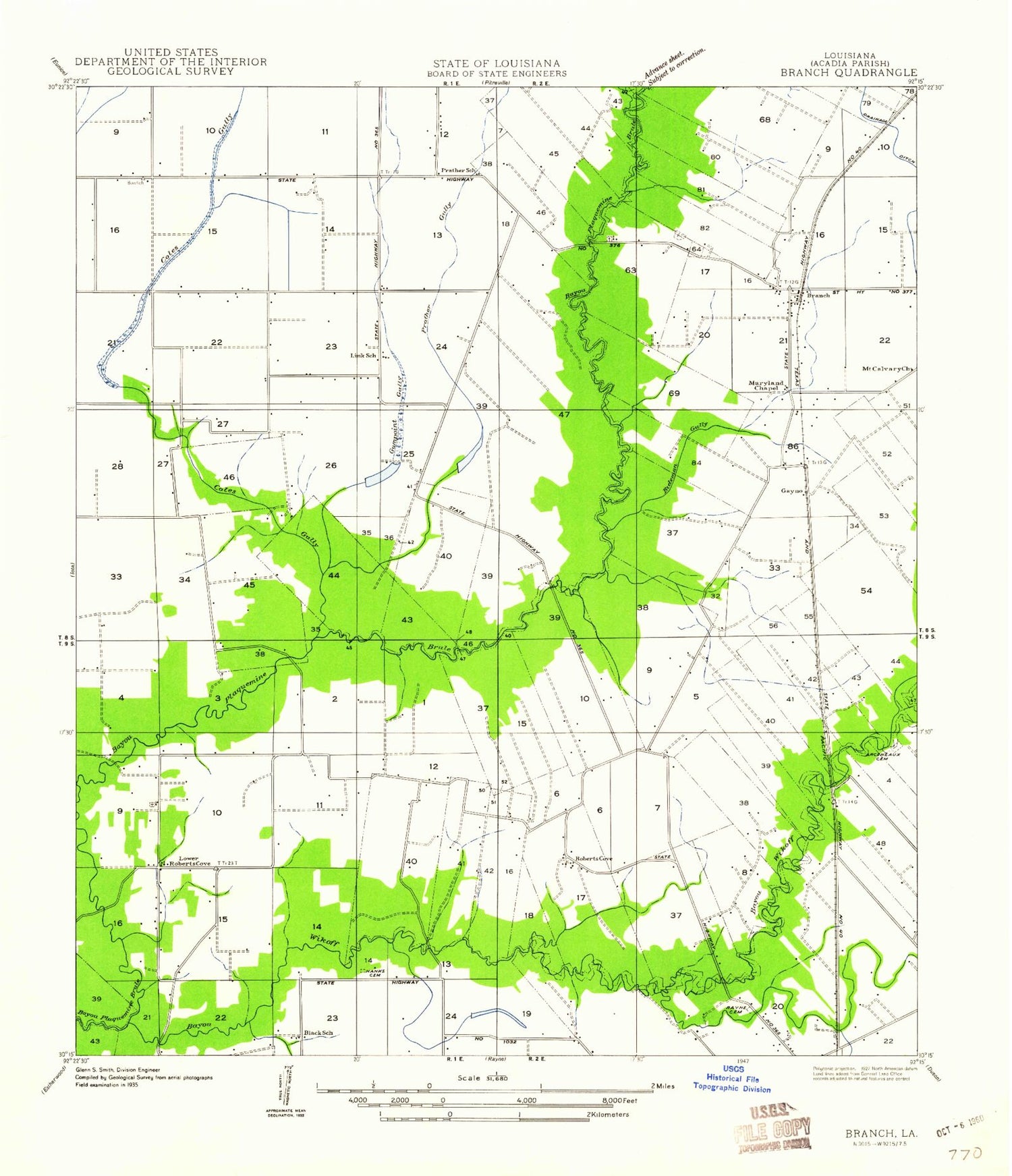
Historical USGS topographic quad map of Branch in the state of Louisiana. Map scale may vary for some years, but is generally around 1:24,000. Print size is approximately 24" x 27"
This quadrangle is in the following counties: Acadia.
The map contains contour lines, roads, rivers, towns, and lakes. Printed on high-quality waterproof paper with UV fade-resistant inks, and shipped rolled.
Contains the following named places: Abundant Life Assembly of God Church, Arceneaux Cemetery, Bayou Wikoff, Bideman Gully, Branch, Branch Census Designated Place, Branch Elementary School, Branch Methodist Cemetery, Branch Post Office, Branch Volunteer Fire Department, Branch Volunteer Fire Department Substation 1, Branch Volunteer Fire Department Substation 2, Church of Jesus Christ, Cole Gully, Coles Gully School, Coulee Duralde, Elizabeth Church, Falcon School, Gum Point School, Gumpoint Gully, Habetz Landing Strip, Habetz School, Hawks Cemetery, Hazelwood Gully, Hensgens Strip, Hookman Cemetery, Kie Hebert Memorial Cemetery, Long Point Gully, Louisiana Noname 106 Dam, Maryland Church, Mid South Flying Service Landing Strip, Mount Calvary Church, Murphy Cemetery, North Crowley Oil and Gas Field, Northwest Branch Oil and Gas Field, Parish Governing Authority District 11, Prather Gully, Prather Landing Strip, Rayne Christian Child Care Center, Roberts Cove, Roberts Cove Church of Christ, Saint Leo Church, Ward Two, ZIP Code: 70516


