MyTopo
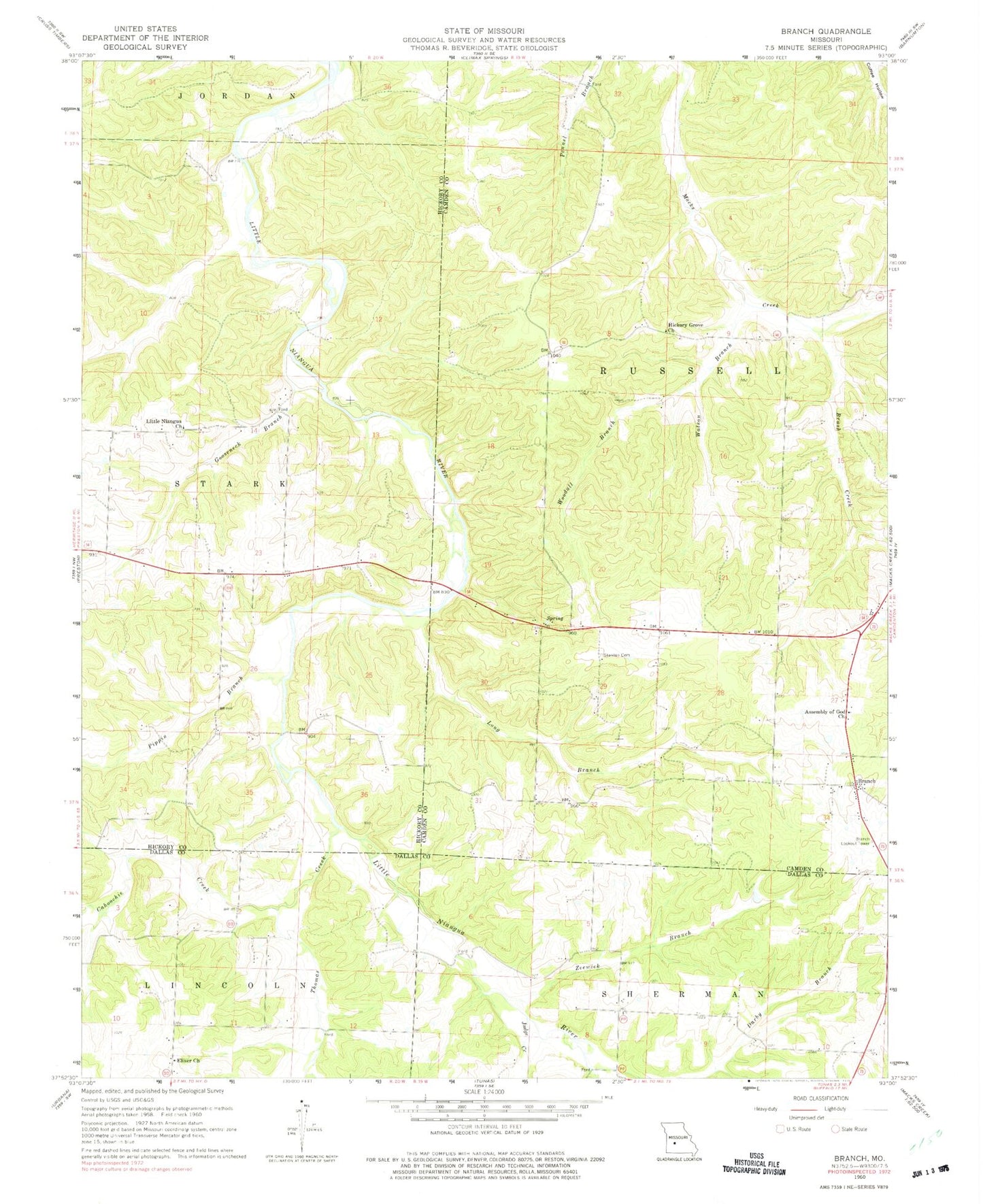
Classic USGS Branch Missouri 7.5'x7.5' Topo Map
Couldn't load pickup availability
Historical USGS topographic quad map of Branch in the state of Missouri. Map scale may vary for some years, but is generally around 1:24,000. Print size is approximately 24" x 27"
This quadrangle is in the following counties: Camden, Dallas, Hickory.
The map contains contour lines, roads, rivers, towns, and lakes. Printed on high-quality waterproof paper with UV fade-resistant inks, and shipped rolled.
Contains the following named places: Almon, Assembly of God Church, Branch, Branch Lookout Tower, Brush Creek, Cahoochie Creek, Carpenter Lake Dam, Darby Branch, Elixer, Elixer Church, Elixer School, Goose Neck Post Office, Gooseneck Branch, Hickory Grove Church, Hickory Grove School, Huffmans Creek, Judge Creek, Little Niangua Baptist Church, Little Niangua Cemetery, Long Branch, Long Branch School, Mabarry School, Parks Mill, Pippin Branch, Southwest Camden County Fire Protection District Station 2, Stanton Chapel Cemetery, Thomas Creek, Tisco School, Watson Branch, Woodall Branch, Zeewick Branch