
MyTopo
Classic USGS Brandenberg NW Montana 7.5'x7.5' Topo Map
Regular price
$16.95
Regular price
Sale price
$16.95
Unit price
per
Couldn't load pickup availability
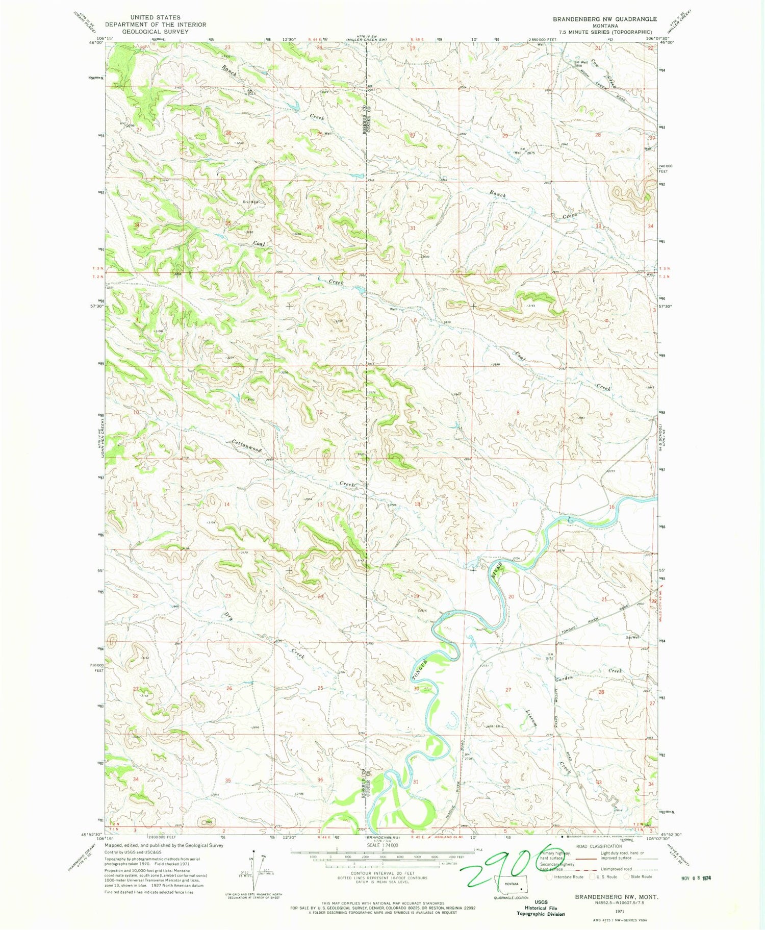
Historical USGS topographic quad map of Brandenberg NW in the state of Montana. Map scale may vary for some years, but is generally around 1:24,000. Print size is approximately 24" x 27"
This quadrangle is in the following counties: Custer, Rosebud.
The map contains contour lines, roads, rivers, towns, and lakes. Printed on high-quality waterproof paper with UV fade-resistant inks, and shipped rolled.
Contains the following named places: 02N44E13ACBB01 Well, 02N44E23DCBA01 Well, 02N44E24CDCC01 Well, 02N45E03BBBA01 Well, 02N45E20CDDC01 Well, 02N45E20CDDD01 Well, 02N45E32CBBB01 Well, 03N44E25ACDC01 Well, 03N44E25ACDC02 Well, Cottonwood Creek, Dry Creek, Garden Creek, Liscom Creek, Pope, Trail Creek School


