MyTopo
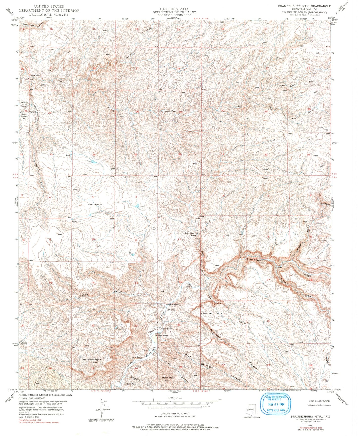
Classic USGS Brandenburg Mountain Arizona 7.5'x7.5' Topo Map
Couldn't load pickup availability
Historical USGS topographic quad map of Brandenburg Mountain in the state of Arizona. Typical map scale is 1:24,000, but may vary for certain years, if available. Print size: 24" x 27"
This quadrangle is in the following counties: Pinal.
The map contains contour lines, roads, rivers, towns, and lakes. Printed on high-quality waterproof paper with UV fade-resistant inks, and shipped rolled.
Contains the following named places: Apsey Camp, Bates Canyon, Bear Springs Canyon, Brandenburg Mountain, Brandenburg Wash, Burro Water Spring, Buzan Canyon, Cave Canyon, Cedar Corral, Depression Canyon, Devils Canyon, Eskiminzin Fort Rock, Hagen Canyon, Hells Half Acre, Hells Half Acre Canyon, Horse Camp Canyon, Javalina Canyon, LaJolla Ranch, Lewis Ranch, Lion Camp, Periz Peak, Red Basin, Virgus Canyon, Wagner Ranch, Whitewash Canyon, Woods Ranch, Eskiminzin Spring, Hortons Place