MyTopo
Classic USGS Brandon Wisconsin 7.5'x7.5' Topo Map
Couldn't load pickup availability
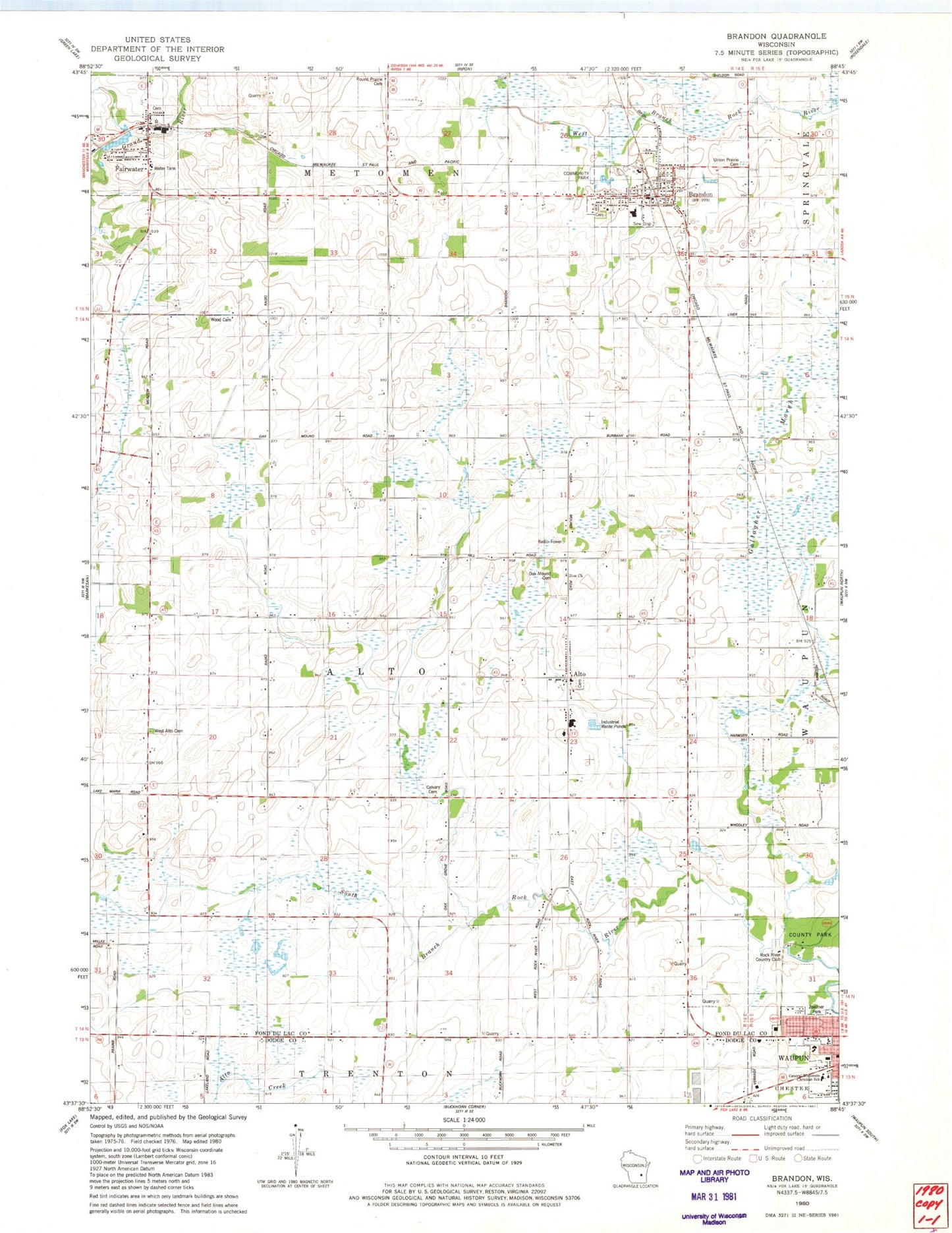
Historical USGS topographic quad map of Brandon in the state of Wisconsin. Map scale may vary for some years, but is generally around 1:24,000. Print size is approximately 24" x 27"
This quadrangle is in the following counties: Dodge, Fond du Lac.
The map contains contour lines, roads, rivers, towns, and lakes. Printed on high-quality waterproof paper with UV fade-resistant inks, and shipped rolled.
Contains the following named places: Alto, Alto Census Designated Place, Alto Community Cemetery, Alto Elementary School, Alto Reformed Church, Alto Volunteer Fire Department, Alton Christian Reformed Church, Bethel Christian Reformed Church, Bethel Reformed Church, Bille Dairy Farms, Brandon, Brandon - Fairwater Fire Department, Brandon - Fairwater Police Department, Brandon Cemetery, Brandon Elementary School, Brandon Post Office, Brandon Schools, Burbank School, Calvary Cemetery, Central Wisconsin Christian School, Fairwater, Fairwater Cemetery, Fairwater Fire Department, Fairwater Pond, Fairwater Post Office, Fond du Lac County Park, Garrison School, Grace Evangelical Lutheran Church, Homeland Dairy, Irish Meadow Farm, Kamphuis Farms, Kolsta School, Linck Waupun Quarries, Madison School, Monroe School, Mouw Farm Number 2, Mouw Farms, Navis Dairy Farm, Oak Grove School, Oak Mound Cemetery, Rock River Country Club, Round Prairie Cemetery, Round Prairie School, Shallow Valley Farms, Sloper School, Town of Alto, Union Prairie Cemetery, Village of Brandon, Village of Fairwater, Waupun Park Maple Forest State Natural Area, West Alto Cemetery, West Alto School, Wood Cemetery, WPKR-FM (Waupun), Zion Church, Zoellner Park, ZIP Codes: 53919, 53931


