MyTopo
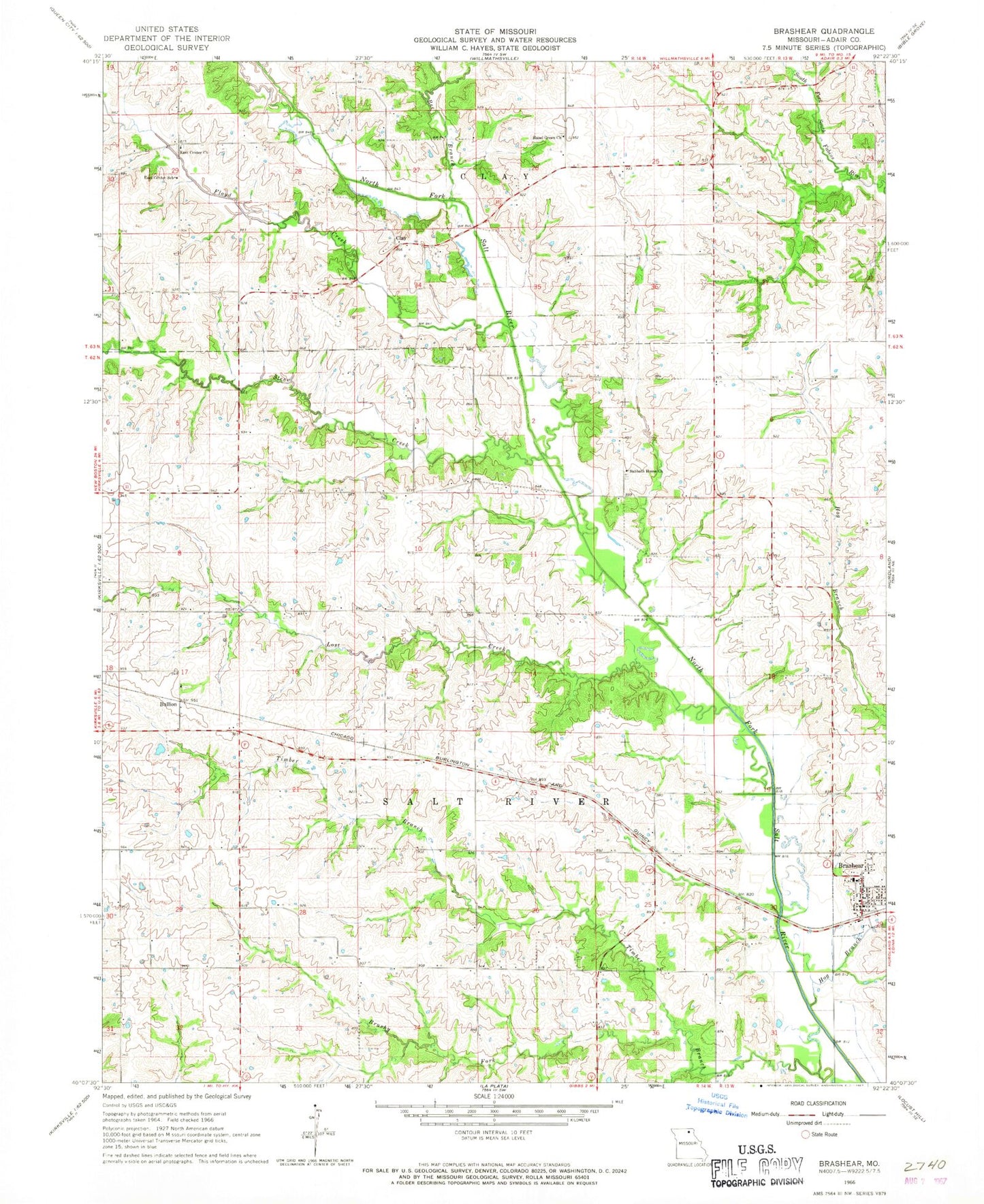
Classic USGS Brashear Missouri 7.5'x7.5' Topo Map
Couldn't load pickup availability
Historical USGS topographic quad map of Brashear in the state of Missouri. Map scale may vary for some years, but is generally around 1:24,000. Print size is approximately 24" x 27"
This quadrangle is in the following counties: Adair.
The map contains contour lines, roads, rivers, towns, and lakes. Printed on high-quality waterproof paper with UV fade-resistant inks, and shipped rolled.
Contains the following named places: Bee Branch, Brashear, Brashear Fire Department, Brashear Post Office, Brushy Fork, Bullion, City of Brashear, Clay, Coy Lake Dam, East Center Church, East Center School, Eastern Adair County Fire and Rescue Station 2, Eastern Adair County Fire and Rescue Station 3, Elliot School, Fairview School, Floyd Creek, Hazel Green Church, Hazel Green School, Hog Branch, Lost Creek, McCulough Dam, Normal Mound School, Oak Dell School, Patten Lake, Rural Dell School, Sabbath Home Church, Steer Creek, Taylor Dam, Taylor Lake, Township of Salt River, ZIP Code: 63533