
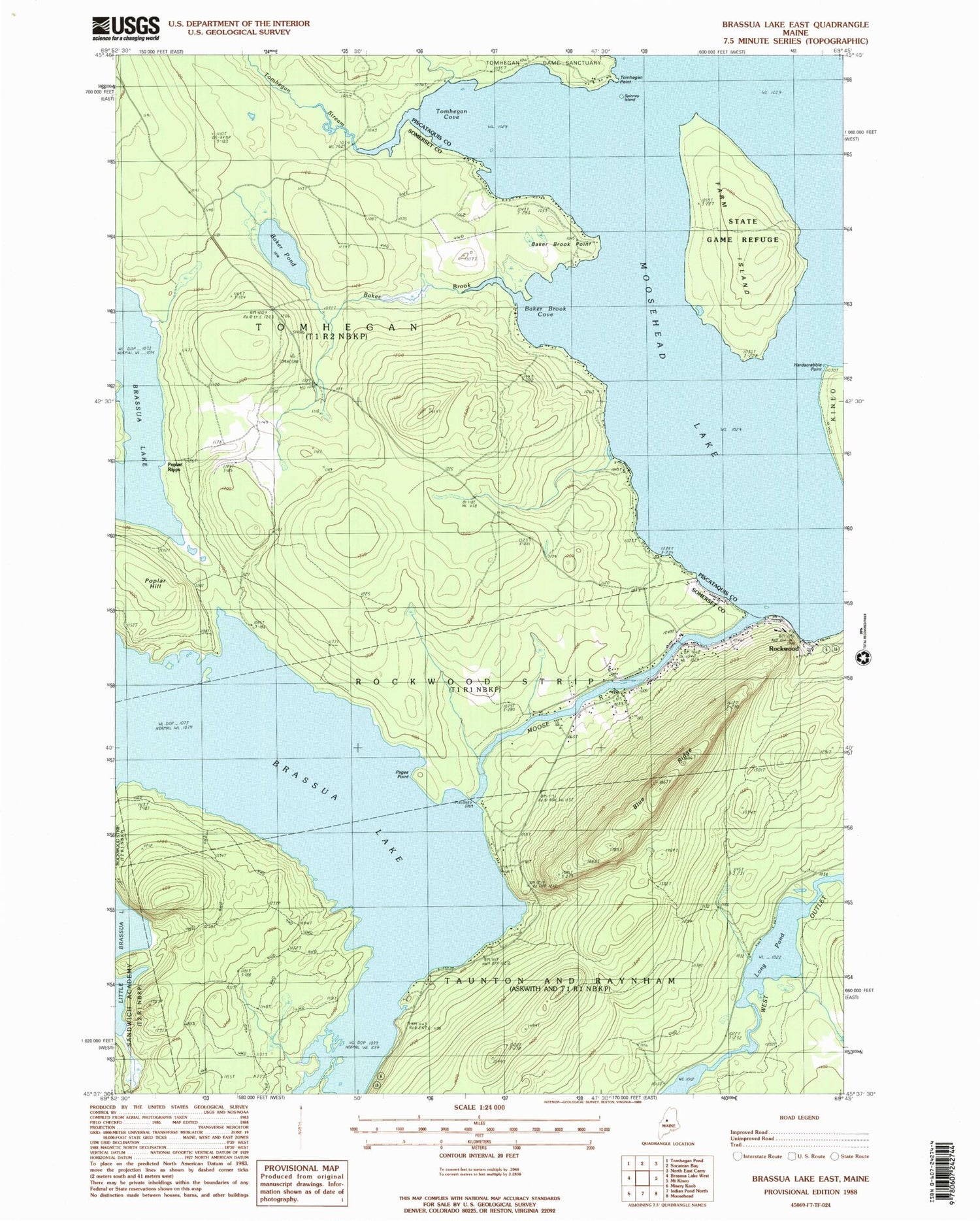
MyTopo
Classic USGS Brassua Lake East Maine 7.5'x7.5' Topo Map
Couldn't load pickup availability
Historical USGS topographic quad map of Brassua Lake East in the state of Maine. Typical map scale is 1:24,000, but may vary for certain years, if available. Print size: 24" x 27"
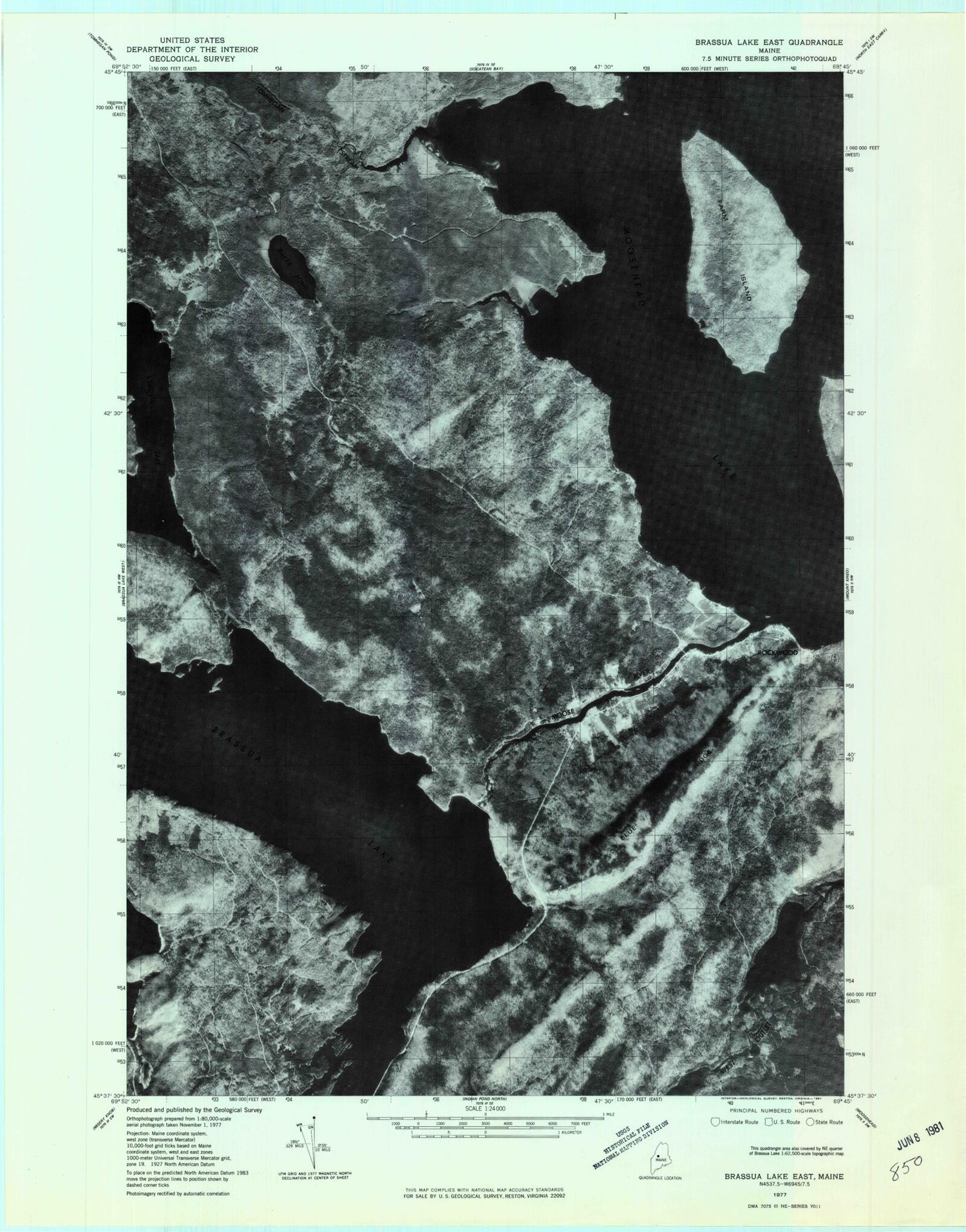
This quadrangle is in the following counties: Piscataquis, Somerset.
The map contains contour lines, roads, rivers, towns, and lakes. Printed on high-quality waterproof paper with UV fade-resistant inks, and shipped rolled.
Contains the following named places: Baker Brook, Baker Brook Cove, Baker Brook Point, Baker Pond, Blaine School, Blue Ridge, Brassua Dam, Brassua Lake, Farm Island, Hardscrabble Point, Little Brassua Lake, Long Pond, Misery Stream, Moose River, Pages Point, Poplar Hill, Saint Josephs Cemetery, Saint Josephs Church, Spinney Island, Tomhegan Cove, Tomhegan Game Sanctuary, Tomhegan Point, Tomhegan Stream, Poplar Ripps, Rockwood Elementary School (historical), Taunton and Raynham Academy Grant, Tomhegan Township, Avery Field


