MyTopo
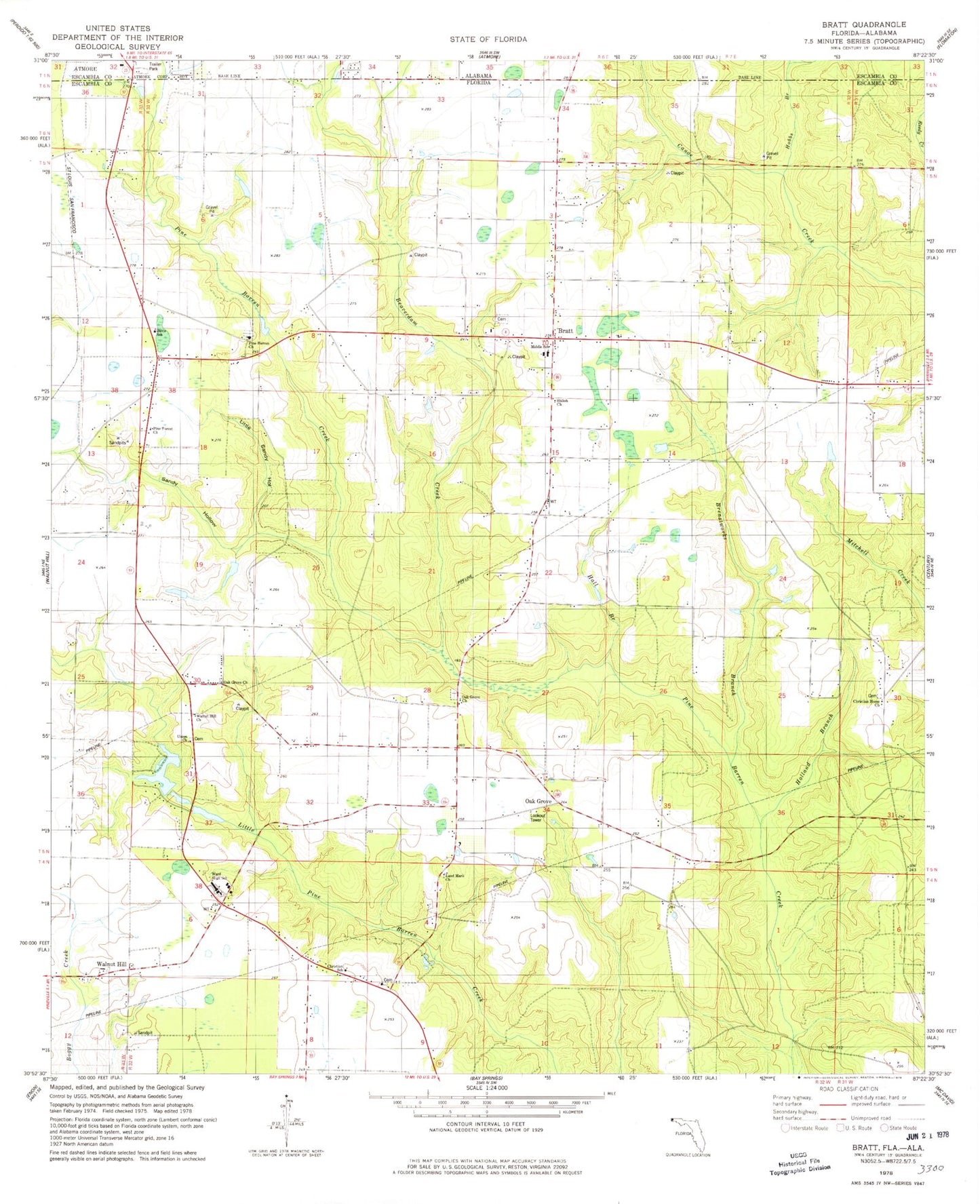
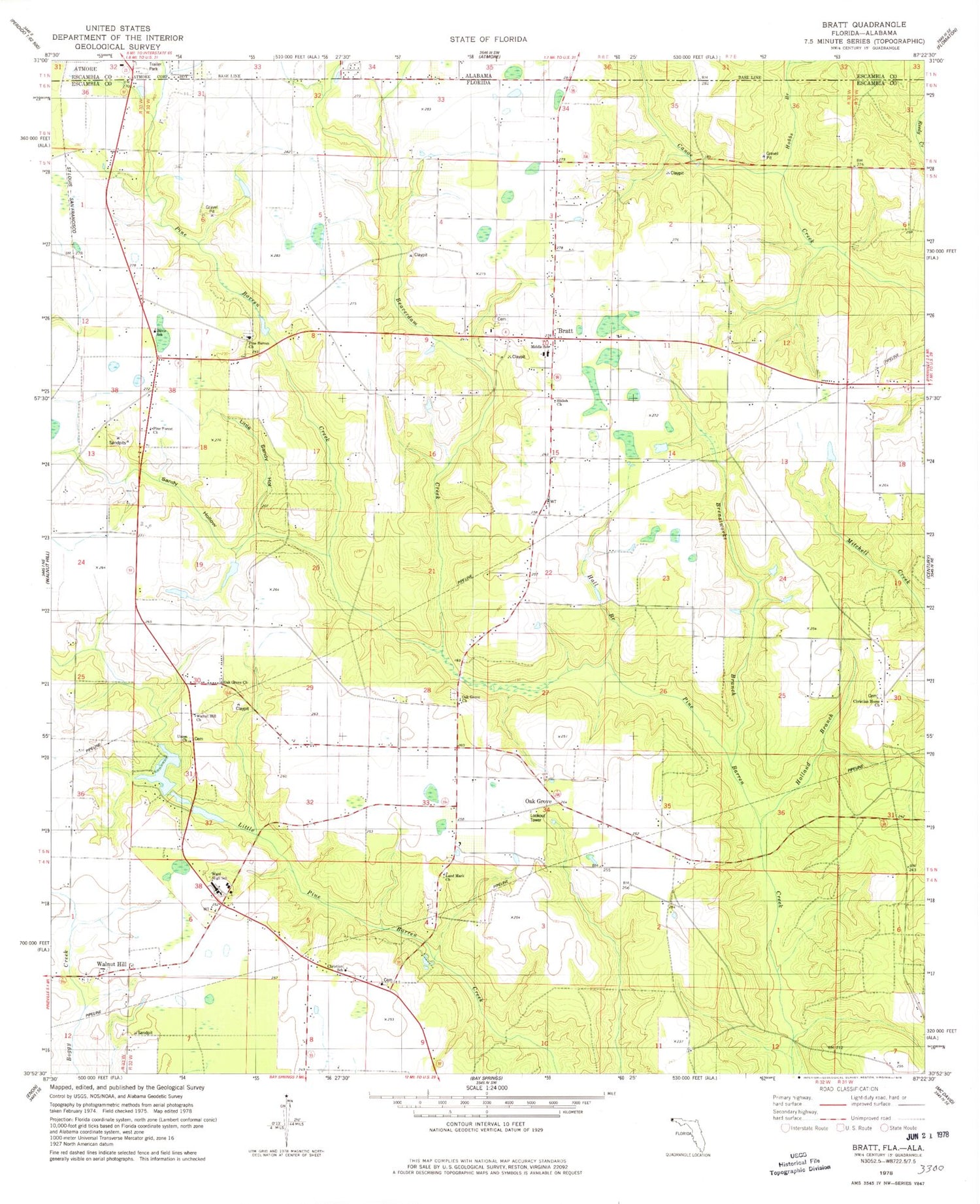
Classic USGS Bratt Florida 7.5'x7.5' Topo Map
Couldn't load pickup availability
Historical USGS topographic quad map of Bratt in the states of Florida, Alabama. Map scale may vary for some years, but is generally around 1:24,000. Print size is approximately 24" x 27"
This quadrangle is in the following counties: Escambia.
The map contains contour lines, roads, rivers, towns, and lakes. Printed on high-quality waterproof paper with UV fade-resistant inks, and shipped rolled.
Contains the following named places: Beaverdam Creek, Bratt, Bratt Elementary School, Bratt Volunteer Fire Department Bratt Substation, Breastworks Branch, Canoe Creek Lookout Tower, Christian Home Church, Christian School, Davis School, Ernest Ward Middle School, Escambia County Sheriff's Office - Precinct 7 Walnut Hill, Hall Branch, Hobbs Branch, Holland Branch, John Gayler Grant, Land Mark Church, Little Sandy Hollow, Middle School, Mike's Ag Air Airport, Northview High School, Oak Grove, Oak Grove Church, Oak Grove Fire Tower, Old Bratt Road Estates, Pine Barren Church, Pine Forest Church, Salem Community Club, Sandy Hollow, Shiloh Church, Union Church, Walnut Hill Christian School, Walnut Hill Church, Walnut Hill Volunteer Fire Department