
MyTopo
Classic USGS Bray California 7.5'x7.5' Topo Map
Regular price
$16.95
Regular price
Sale price
$16.95
Unit price
per
Couldn't load pickup availability
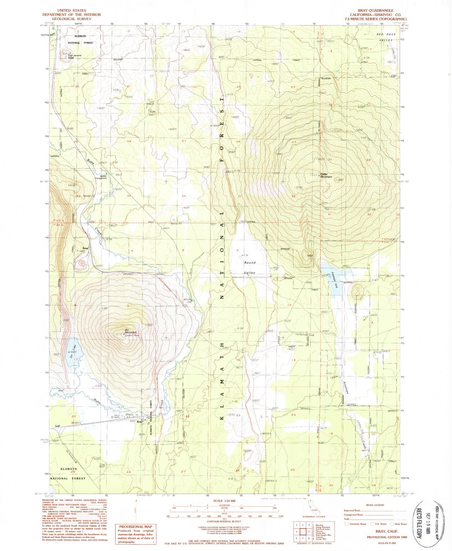
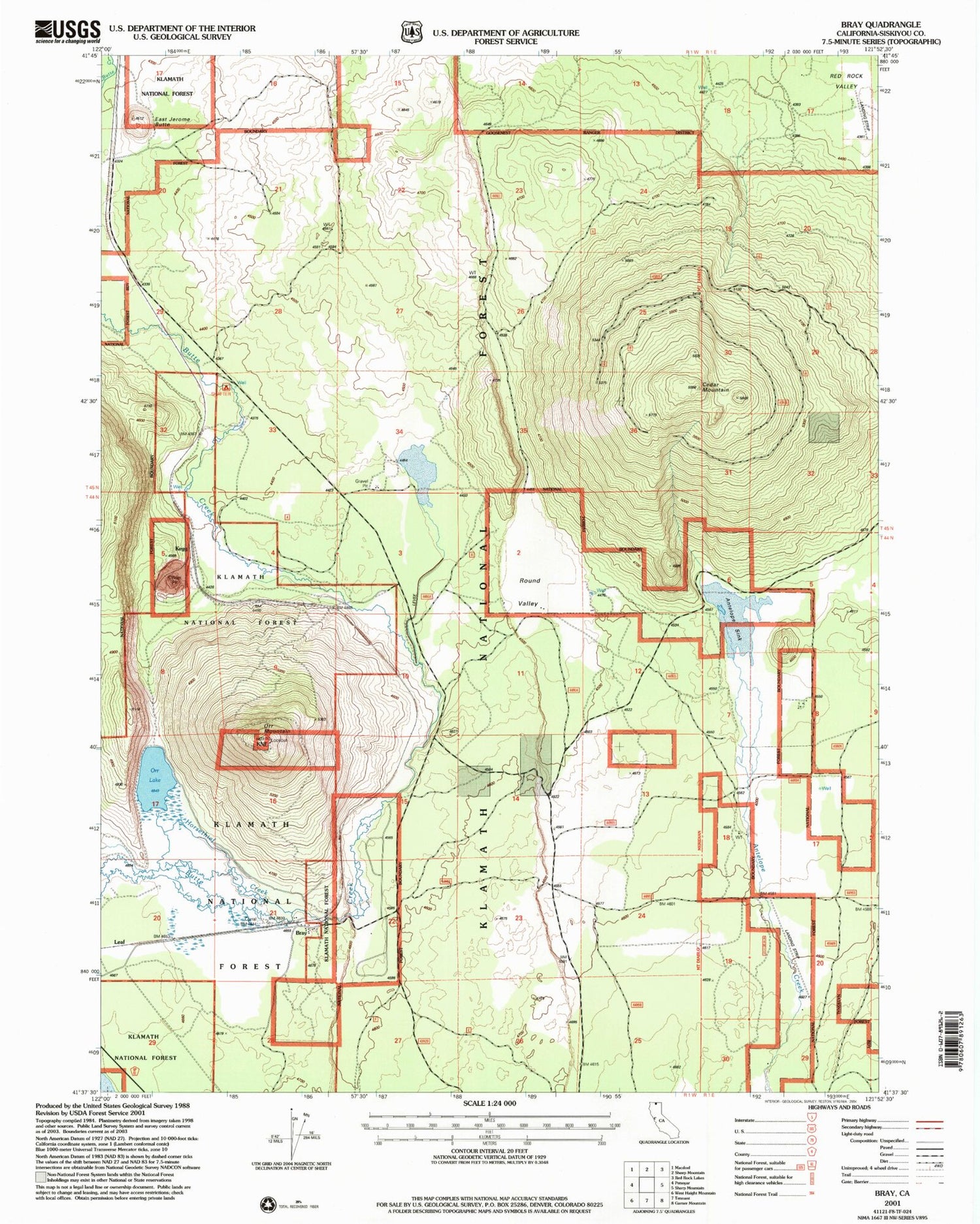
Historical USGS topographic quad map of Bray in the state of California. Map scale may vary for some years, but is generally around 1:24,000. Print size is approximately 24" x 27"
This quadrangle is in the following counties: Siskiyou.
The map contains contour lines, roads, rivers, towns, and lakes. Printed on high-quality waterproof paper with UV fade-resistant inks, and shipped rolled.
Contains the following named places: Antelope Creek, Antelope Sink, Bray, Cedar Mountain, Cedar Well, East Jerome Butte, Horsethief Creek, Jerome, Kegg, Longbell Ranch Airport, Orr Lake, Orr Mountain, Round Valley, Shafter Campground, Triple R Ranch Airport, ZIP Code: 96058