MyTopo
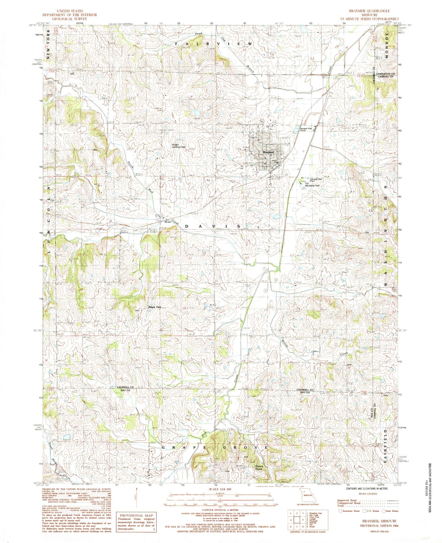
Classic USGS Braymer Missouri 7.5'x7.5' Topo Map
Couldn't load pickup availability
Historical USGS topographic quad map of Braymer in the state of Missouri. Map scale may vary for some years, but is generally around 1:24,000. Print size is approximately 24" x 27"
This quadrangle is in the following counties: Caldwell, Carroll, Livingston, Ray.
The map contains contour lines, roads, rivers, towns, and lakes. Printed on high-quality waterproof paper with UV fade-resistant inks, and shipped rolled.
Contains the following named places: Black Oak, Black Oak School, Braymer, Braymer Elementary School, Braymer High School, Braymer Post Office, Braymer Volunteer Fire Department, City of Braymer, Dead Oak Branch, Elk Grove School, Evergreen Cemetery, Granville School, Hughson Lake, Hughson Lake Dam, Martin Lake Section 4, Martin Lake Section 4 Dam, McBee Chapel, North Mud Creek, Pleasant Hill School, Rose Valley School, South Victory School, Tait Memorial Park, Tinney Grove, Tinney Grove School, Toben Valley School, Township of Davis, Willow Creek, Wright Landing Field, ZIP Code: 64624