MyTopo
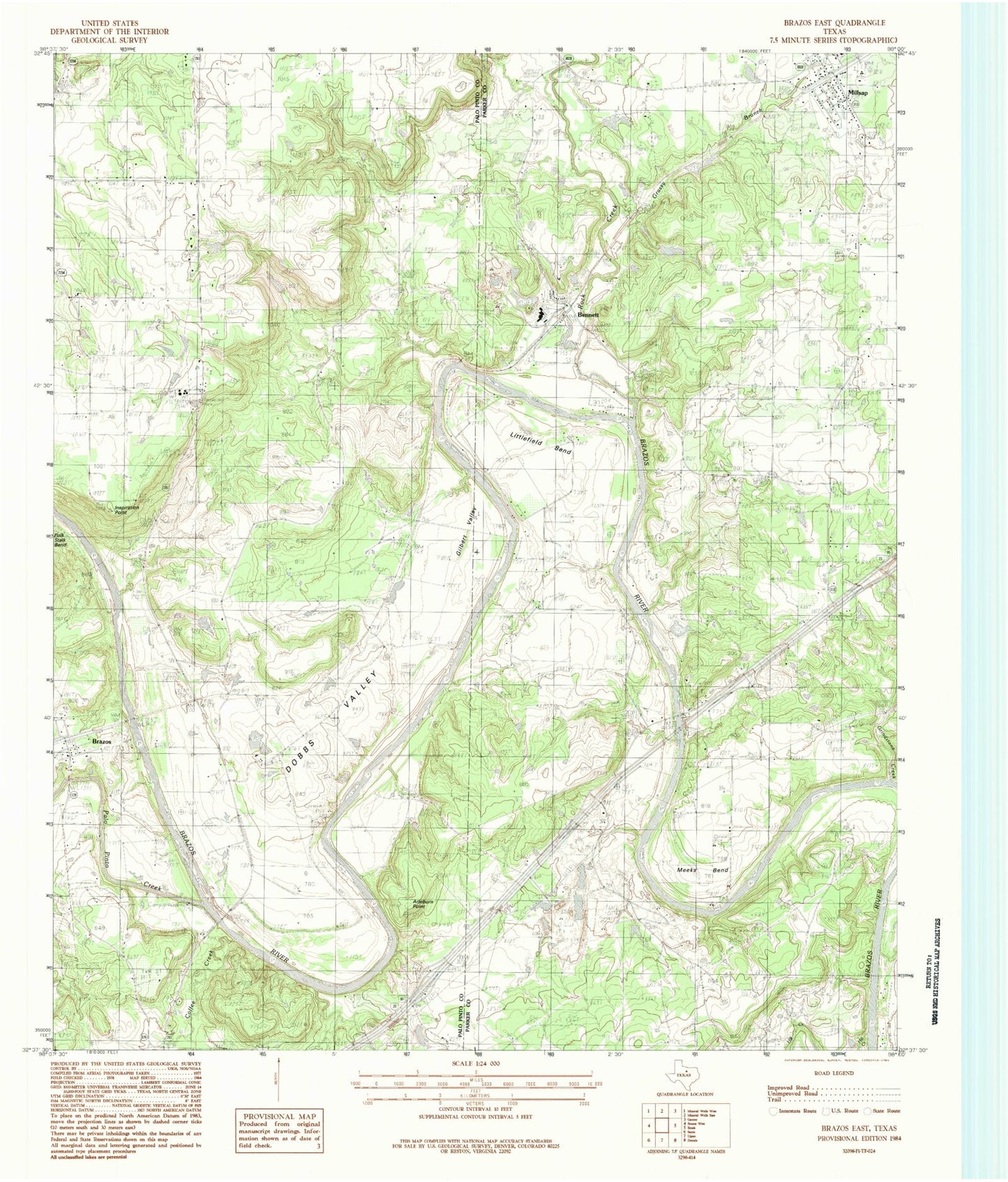
Classic USGS Brazos East Texas 7.5'x7.5' Topo Map
Couldn't load pickup availability
Historical USGS topographic quad map of Brazos East in the state of Texas. Map scale may vary for some years, but is generally around 1:24,000. Print size is approximately 24" x 27"
This quadrangle is in the following counties: Palo Pinto, Parker.
The map contains contour lines, roads, rivers, towns, and lakes. Printed on high-quality waterproof paper with UV fade-resistant inks, and shipped rolled.
Contains the following named places: Arteburn Point, Bennett, Brannon Cemetery, Brazos, Brazos Census Designated Place, Brazos Volunteer Fire Department, Brock Elementary School, Brock High School, Dobbs Valley, Dominicar Merlo Cemetery, Fairview Church, Gilbert Valley, Goen Cemetery, Grassdale Cemetery, Grassy Branch, Grindstone Creek, Highway Church, Hill Creek, Inspiration Point, Jones Springs, Littlefield Bend, Meeks Bend, Millsap, Millsap Cemetery, Millsap City Hall, Millsap Post Office, Millsap United Methodist Church, Missouri Pacific Dam, Missouri Pacific Lake, Mountain River Volunteer Fire Department, Palo Pinto Creek, Poe Prairie Cemetery, Rock Creek, Soda Springs Baptist Church, Soda Springs Cemetery, Soda Springs Church, State Highway 89 Bridge, Town of Millsap, US 281 Bridge, Weatherford Quarry