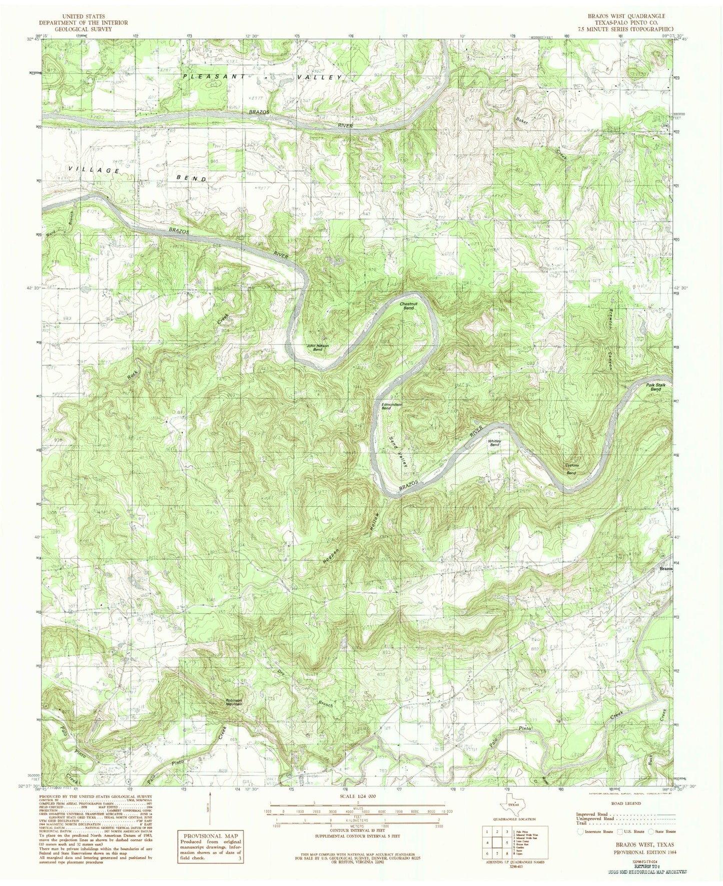
MyTopo
Classic USGS Brazos West Texas 7.5'x7.5' Topo Map
Couldn't load pickup availability
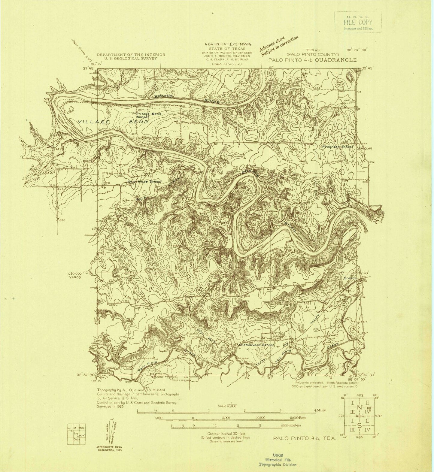
Historical USGS topographic quad map of Brazos West in the state of Texas. Map scale may vary for some years, but is generally around 1:24,000. Print size is approximately 24" x 27"
This quadrangle is in the following counties: Palo Pinto.
The map contains contour lines, roads, rivers, towns, and lakes. Printed on high-quality waterproof paper with UV fade-resistant inks, and shipped rolled.
Contains the following named places: Baker Creek, Brewton Canyon, Buck Creek, Chestnut Bend, Cyclone Bend, Dry Branch, Edmondson Bend, Hogpen Hollow, John Hittson Bend, Matthews Ranch Airport, New Hope Cemetery, Palo Pinto Creek Diversion Dam, Palo Pinto-Santo Division, Pleasant Valley Church, Polk Stalk Bend, Progress School, Robinson Mountain, Rock Creek, Sand Valley, Village Bend, Ward Branch, Whitley Bend, Willow Pond Church, Worser Creek