MyTopo
Classic USGS Brenton Springs Wyoming 7.5'x7.5' Topo Map
Regular price
$16.95
Regular price
Sale price
$16.95
Unit price
per
Couldn't load pickup availability
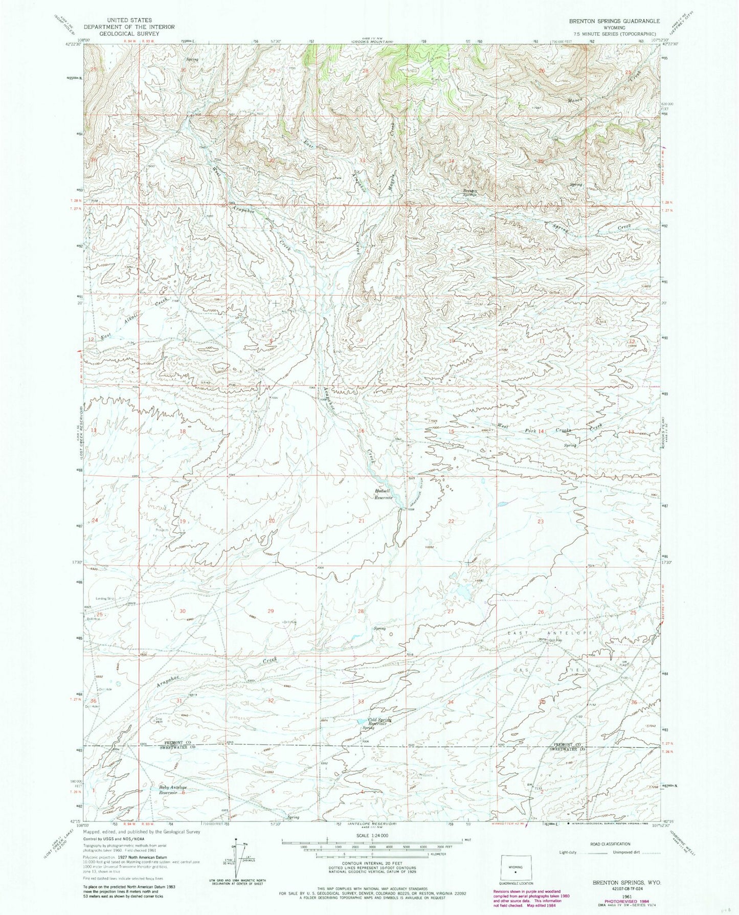
Historical USGS topographic quad map of Brenton Springs in the state of Wyoming. Map scale may vary for some years, but is generally around 1:24,000. Print size is approximately 24" x 27"
This quadrangle is in the following counties: Fremont, Sweetwater.
The map contains contour lines, roads, rivers, towns, and lakes. Printed on high-quality waterproof paper with UV fade-resistant inks, and shipped rolled.
Contains the following named places: Arapahoe Ditch, B and H Group Mine, Baby Antelope Reservoir, Brenton Springs, Cold Spring Reservoir, East Antelope Gas Field, East Arapahoe Creek, Hadsell Reservoir, Magpie Creek, Sheep Mountain Operations Mine, West Arapahoe Creek, Wycal Mine