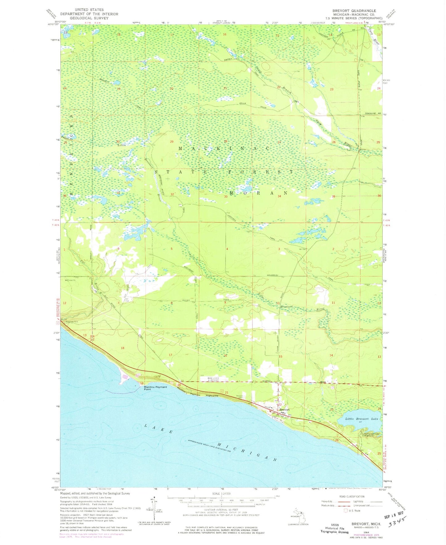
MyTopo
Classic USGS Brevort Michigan 7.5'x7.5' Topo Map
Regular price
$16.95
Regular price
Sale price
$16.95
Unit price
per
Couldn't load pickup availability
Historical USGS topographic quad map of Brevort in the state of Michigan. Map scale is 1:24000. Print size is approximately 24" x 27"
This quadrangle is in the following counties: Mackinac.
The map contains contour lines, roads, rivers, towns, and lakes. Printed on high-quality waterproof paper with UV fade-resistant inks, and shipped rolled.
Contains the following named places: Brevort, Brevort Airport (historical), Brevort Post Office (historical), Little Brevoort Lake, Little Brevort Lake North State Forest Campground, Little Brevort Lake South State Forest Campground, Manitou Payment Highbanks, Manitou Payment Point, Sand Products Corporation, Western Cemetery