MyTopo
Classic USGS Brewer Mississippi 7.5'x7.5' Topo Map
Couldn't load pickup availability
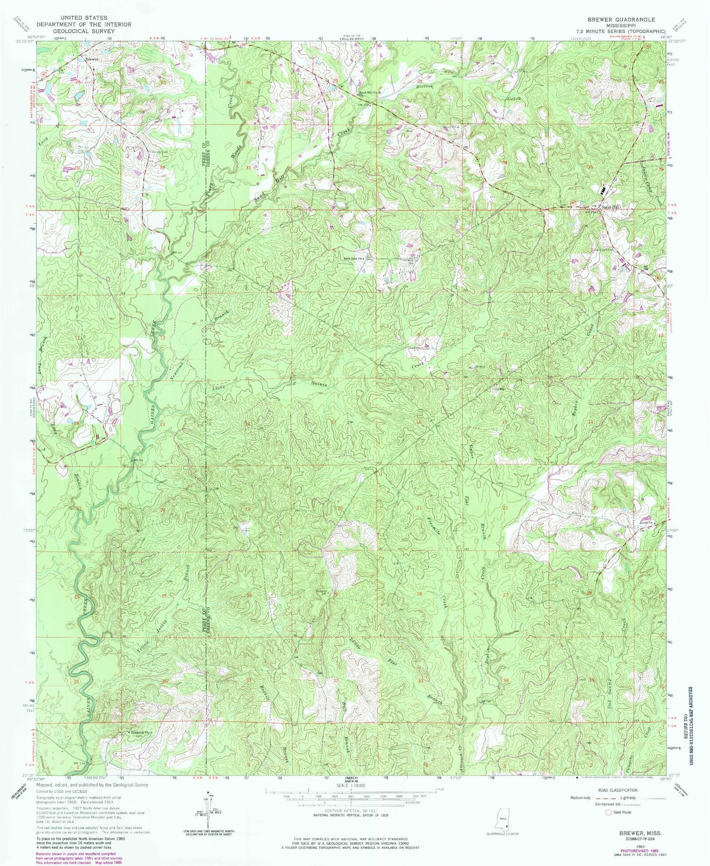
Historical USGS topographic quad map of Brewer in the state of Mississippi. Map scale may vary for some years, but is generally around 1:24,000. Print size is approximately 24" x 27"
This quadrangle is in the following counties: Greene, Perry.
The map contains contour lines, roads, rivers, towns, and lakes. Printed on high-quality waterproof paper with UV fade-resistant inks, and shipped rolled.
Contains the following named places: Avera Church, Beetree Creek, Boykin Creek, Brewer, Brewer School, Fivemile Creek, Freeman School, Frisco Cemetery, Gaines Brewer Road Bridge, Grafton Cemetery, Little Gaines Creek, Long Branch, Lower Flat Branch, Nazareth Church, Newcomb Branch, Piney Woods Creek, Sand Hill, Sand Hill Baptist Church, Sand Hill Creek, Sand Hill Creek Church, Sand Hill Volunteer Fire Department, Supervisor District 3, Upper Flat Branch, Yellow Jacket Branch, Zion Rest Church