MyTopo
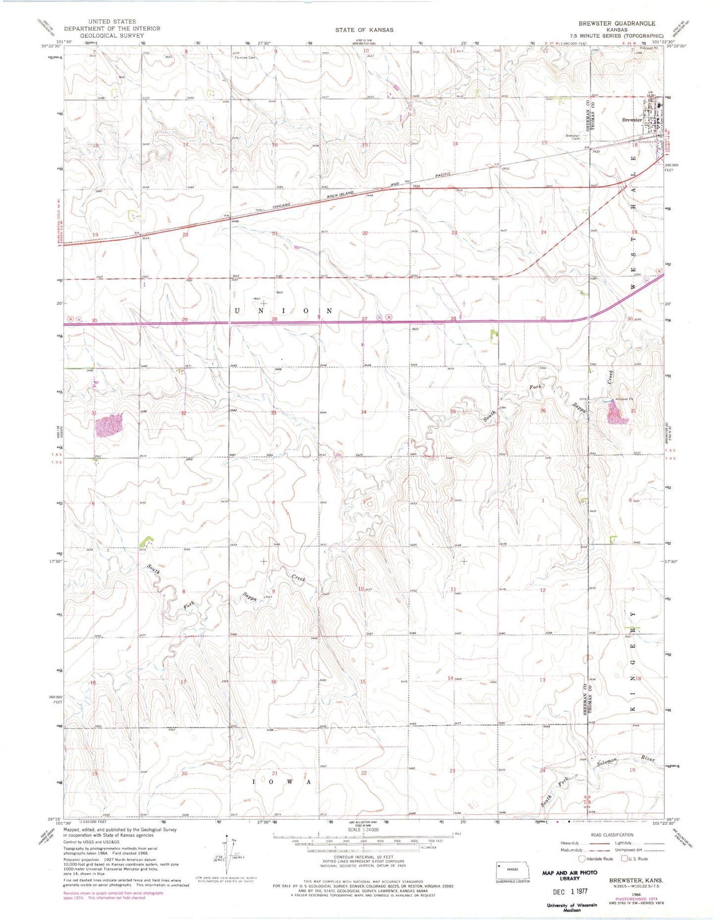
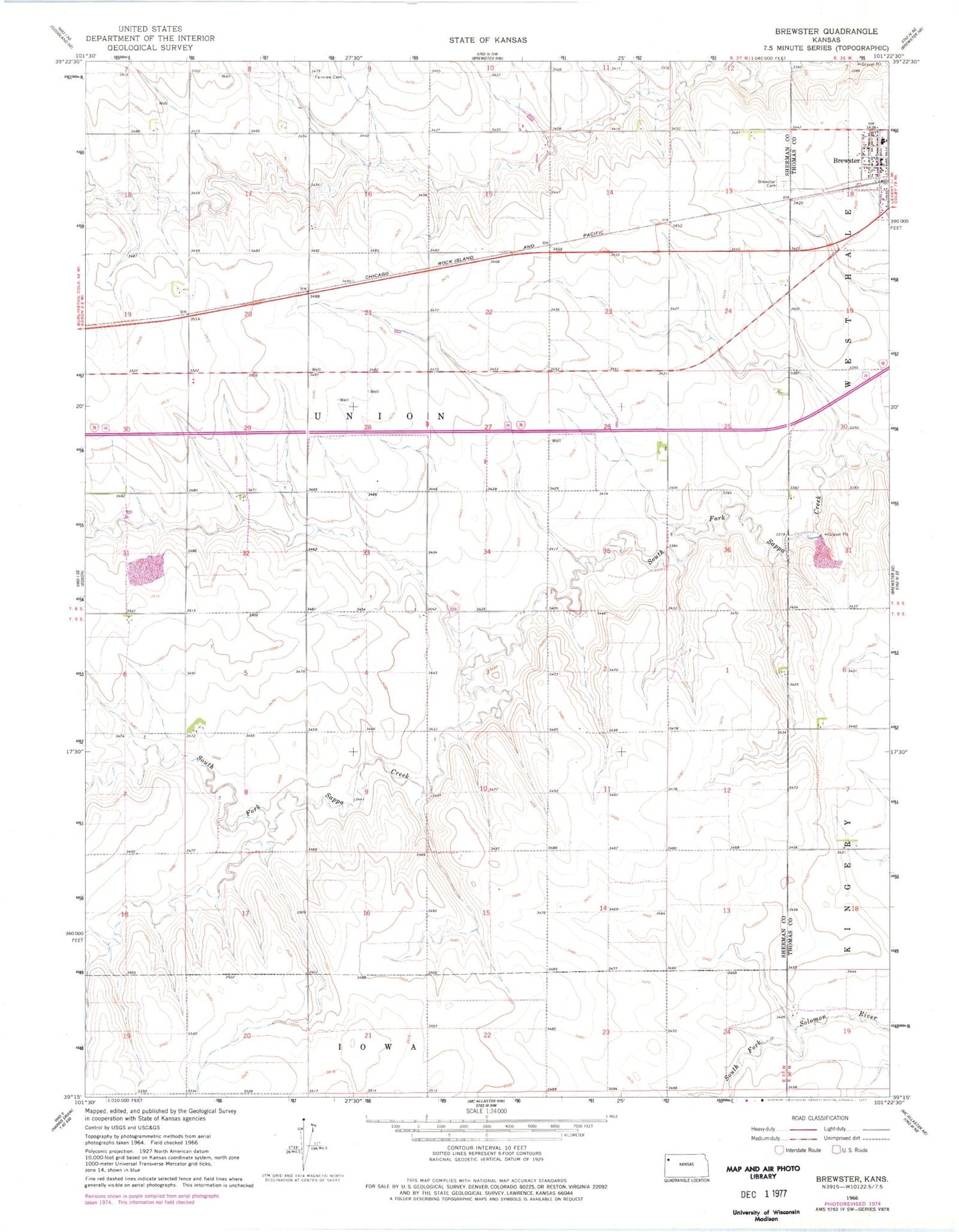
Classic USGS Brewster Kansas 7.5'x7.5' Topo Map
Couldn't load pickup availability
Historical USGS topographic quad map of Brewster in the state of Kansas. Map scale may vary for some years, but is generally around 1:24,000. Print size is approximately 24" x 27"
This quadrangle is in the following counties: Sherman, Thomas.
The map contains contour lines, roads, rivers, towns, and lakes. Printed on high-quality waterproof paper with UV fade-resistant inks, and shipped rolled.
Contains the following named places: Brewster, Brewster Cemetery, Brewster City Marshal's Office, Brewster Elementary School, Brewster High School, Brewster Post Office, Brewster United Methodist Church, Brooks Ranch, City of Brewster, Frontier Agricultural Grain Elevator Number 4, Hollenbeck Cemetery, KGCR - FM (Brewster), Our Saviors Lutheran Church, Sherman County Fire Department - Brewster Fire Department, Thomas County Rural Fire District 5, Township of Union