MyTopo
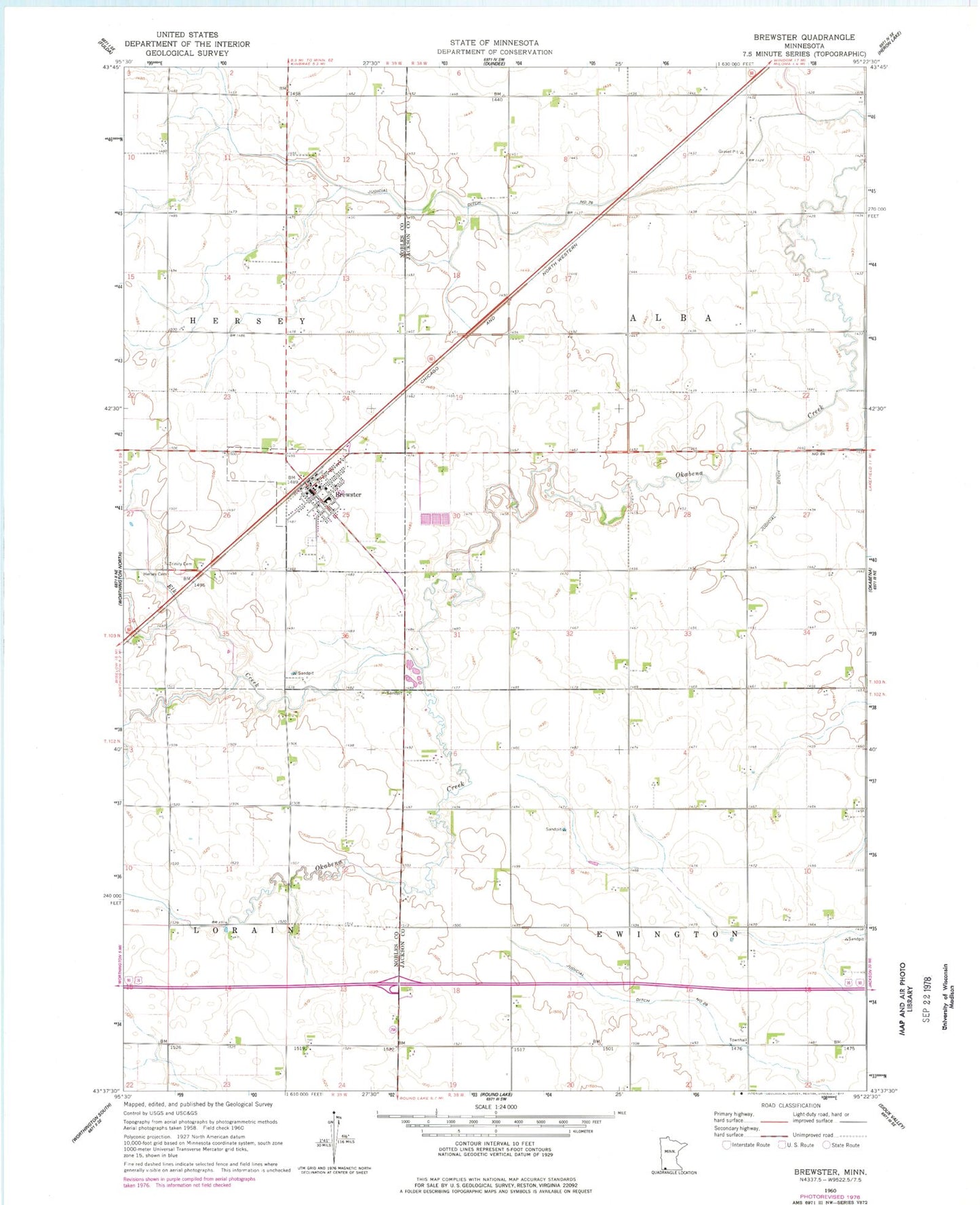
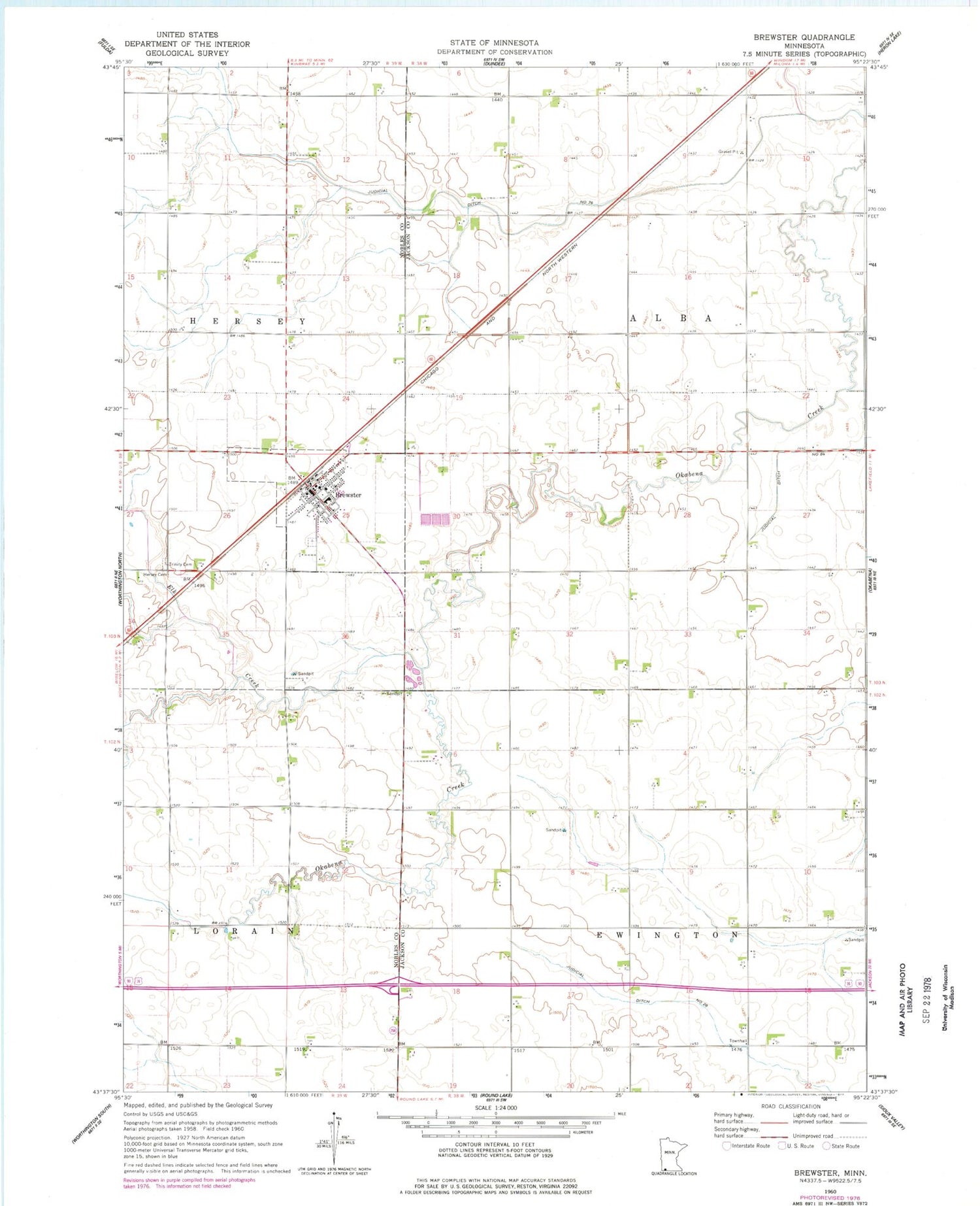
Classic USGS Brewster Minnesota 7.5'x7.5' Topo Map
Couldn't load pickup availability
Historical USGS topographic quad map of Brewster in the state of Minnesota. Map scale may vary for some years, but is generally around 1:24,000. Print size is approximately 24" x 27"
This quadrangle is in the following counties: Jackson, Nobles.
The map contains contour lines, roads, rivers, towns, and lakes. Printed on high-quality waterproof paper with UV fade-resistant inks, and shipped rolled.
Contains the following named places: Brewster, Brewster City Hall, Brewster City Park, Brewster Fire and Rescue Department, Brewster Post Office, Brewster Public School, City of Brewster, Elk Creek, Hersey Cemetery, Judicial Ditch Number Eightyfive, Judicial Ditch Number Seventysix, Sacred Heart Cemetery, Sacred Heart Church, Township of Alba, Township of Ewington, Trinity Cemetery, Trinity Lutheran Church, ZIP Code: 56119