MyTopo
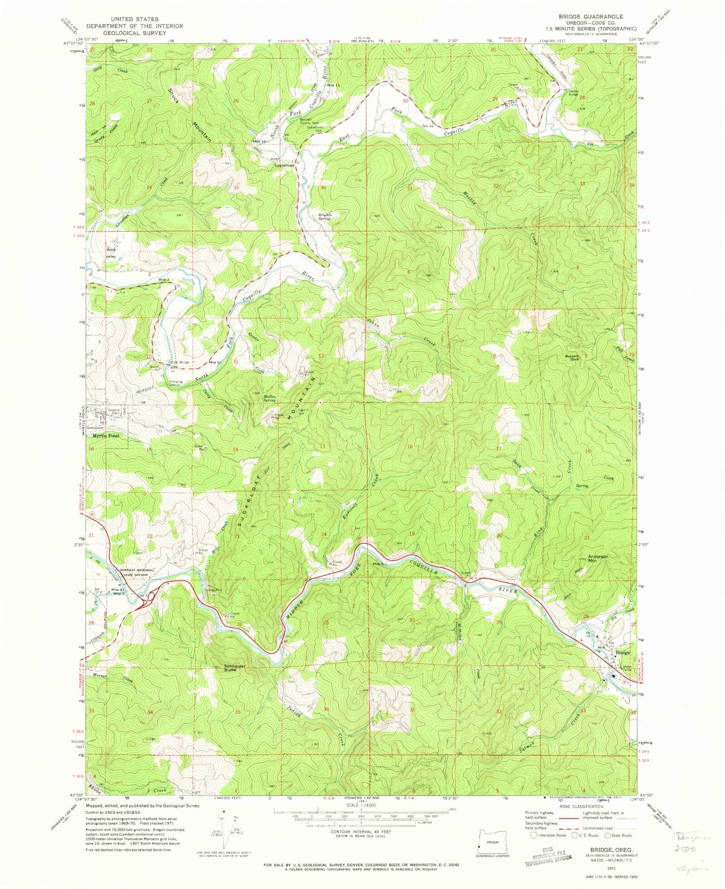
Classic USGS Bridge Oregon 7.5'x7.5' Topo Map
Couldn't load pickup availability
Historical USGS topographic quad map of Bridge in the state of Oregon. Map scale may vary for some years, but is generally around 1:24,000. Print size is approximately 24" x 27"
This quadrangle is in the following counties: Coos.
The map contains contour lines, roads, rivers, towns, and lakes. Printed on high-quality waterproof paper with UV fade-resistant inks, and shipped rolled.
Contains the following named places: Anderson Mountain, Angora Post Office, Bennett County Park, Big Creek, Brack Cemetery, Brewer Cemetery, Bridge, Bridge Post Office, Bridge Rural Fire Department, Brights Spring, Buzzard Rock, Carey Creek, Cooper Bridge, Crosby Bridge, East Fork Coquille River, Echo Valley, Elk Creek, Enchanted Prairie Post Office, Endicott Creek, Garrett Cemetery, Gravelford, Gravelford Cemetery, Gravelford Post Office, Hermansville Post Office, Hoffman Memorial State Park, Indian Creek, Johns Creek, Kessler Creek, King Creek, McMullen Creek, Middle Fork Coquille River, Mill Creek, Mullen Spring, Myrtle Point Fire Department Station 3, Myrtle Point Water Treatment Plant, Oak Post Office, Old Myrtle Point Cemetery, Salmon Creek, Schneider Butte, Smith Creek, Spring Creek, Sugarloaf Mountain, Weekly Creek, Wimer Creek, Yankee Run, ZIP Code: 97458


