MyTopo
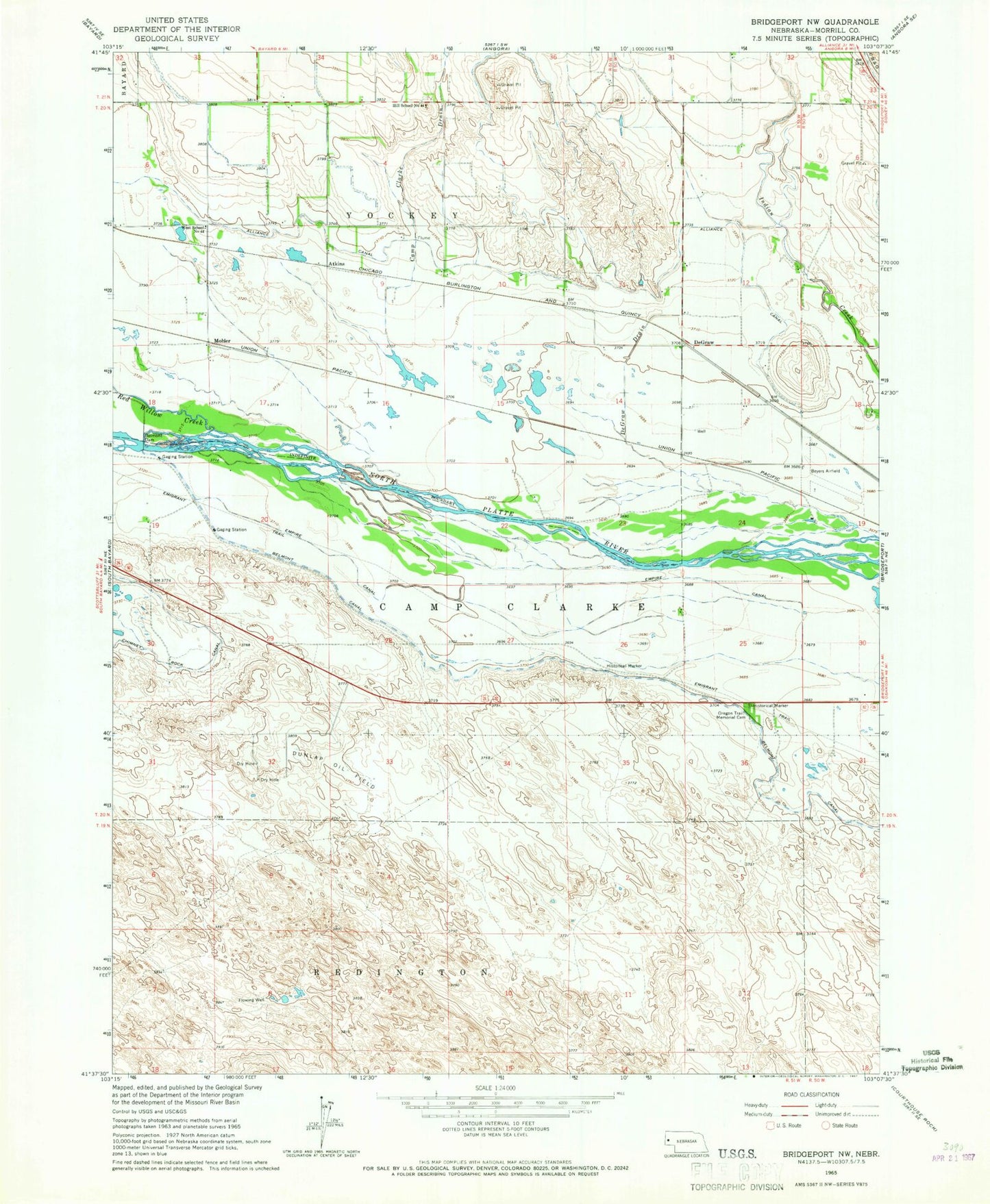
Classic USGS Bridgeport NW Nebraska 7.5'x7.5' Topo Map
Couldn't load pickup availability
Historical USGS topographic quad map of Bridgeport NW in the state of Nebraska. Map scale may vary for some years, but is generally around 1:24,000. Print size is approximately 24" x 27"
This quadrangle is in the following counties: Morrill.
The map contains contour lines, roads, rivers, towns, and lakes. Printed on high-quality waterproof paper with UV fade-resistant inks, and shipped rolled.
Contains the following named places: Alliance Canal, Atkins, Belmont Canal, Belmont Dam, Belmont Diversion Dam, Belmont Diversion Reservoir, Camp Clarke Bridge and Sidney - Black Hills Trail Historical Marker, Camp Clarke Drain, DeGraw, DeGraw Drain, Dunlap Oil Field, Empire Canal, Hill School Number 44, Lapaseotes Feedyard, Mohler, Oregon Trail Memorial Park Cemetery, Red Willow Creek, West Camp Clarke Election Precinct, West School Number 44, ZIP Code: 69336