MyTopo
Classic USGS Bridgewater West South Dakota 7.5'x7.5' Topo Map
Couldn't load pickup availability
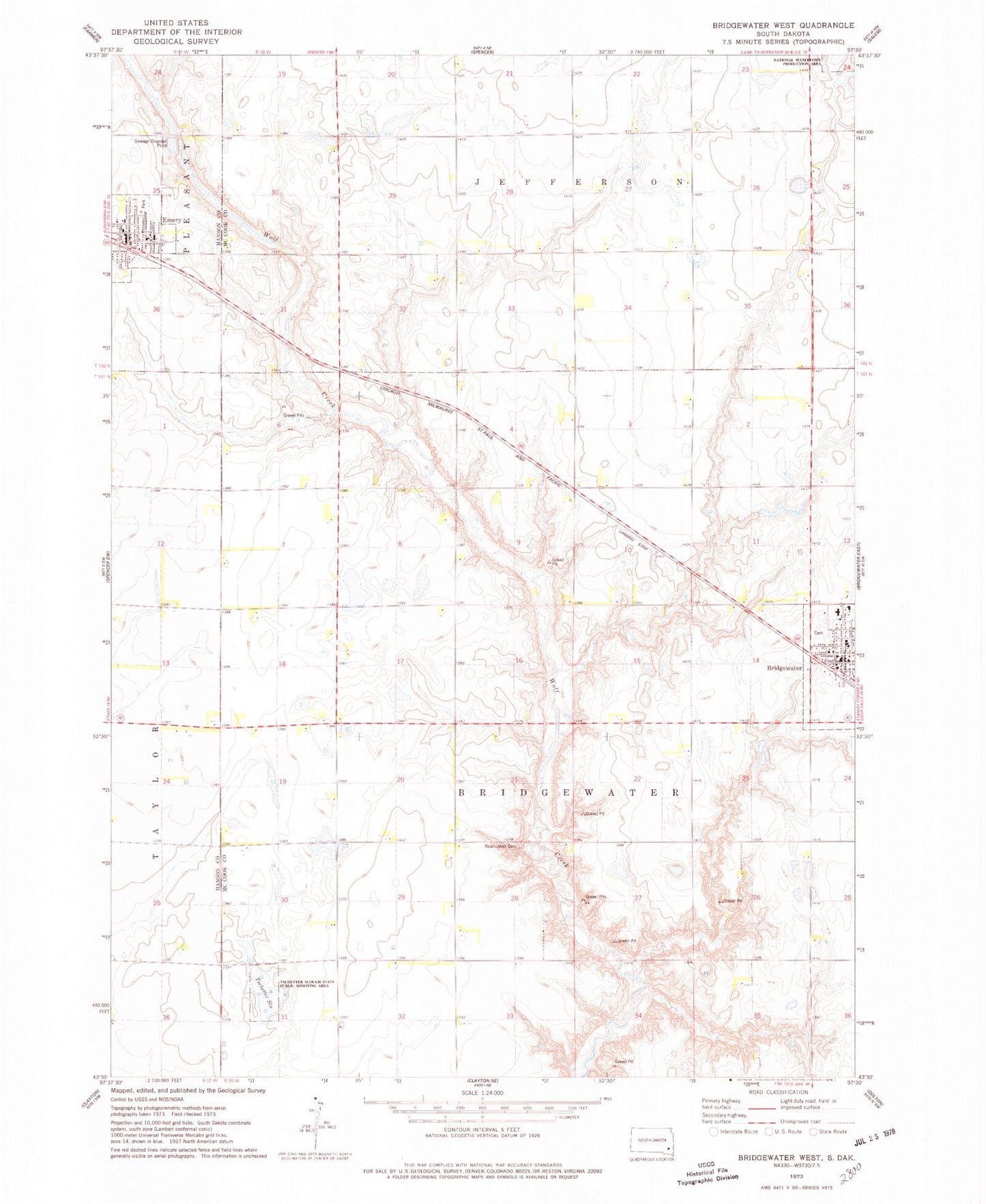
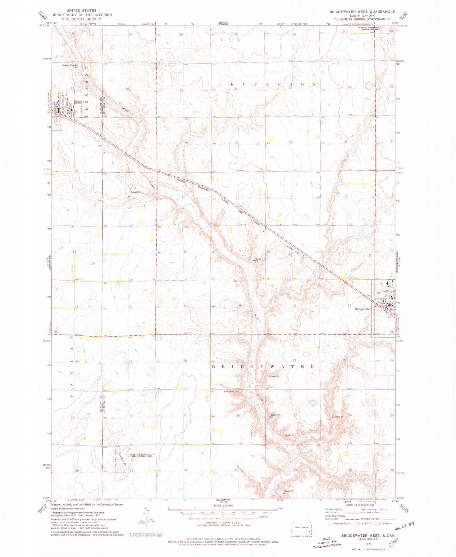
Historical USGS topographic quad map of Bridgewater West in the state of South Dakota. Map scale may vary for some years, but is generally around 1:24,000. Print size is approximately 24" x 27"
This quadrangle is in the following counties: Hanson, McCook.
The map contains contour lines, roads, rivers, towns, and lakes. Printed on high-quality waterproof paper with UV fade-resistant inks, and shipped rolled.
Contains the following named places: Bridgewater, Bridgewater Cemetery, Bridgewater City Hall, Bridgewater Community Ambulance, Bridgewater Elementary School, Bridgewater Fire Department, Bridgewater Post Office, Bridgewater-Emery High School, Bridgewater-Emery Middle School, City of Emery, Emery, Emery City Office, Emery City Police Department, Emery Elementary School, Emery Post Office, Emery Volunteer Fire Department, Rasmussen Cemetery, Township of Bridgewater, Tschetter Slough, Tschetter Slough State Public Shooting Area, Waltner & Richards Airport