MyTopo
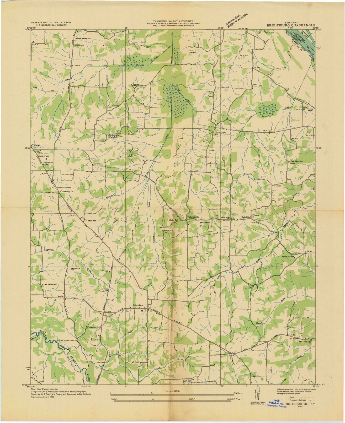
Classic USGS Briensburg Kentucky 7.5'x7.5' Topo Map
Couldn't load pickup availability
Historical USGS topographic quad map of Briensburg in the state of Kentucky. Map scale may vary for some years, but is generally around 1:24,000. Print size is approximately 24" x 27"
This quadrangle is in the following counties: Livingston, Marshall.
The map contains contour lines, roads, rivers, towns, and lakes. Printed on high-quality waterproof paper with UV fade-resistant inks, and shipped rolled.
Contains the following named places: Bee Creek, Bethel, Bethel Cemetery, Bethel Missionary Baptist Church, Birmingham Cemetery, Blewett Cemetery, Bloodyshin Creek, Briensburg, Briensburg Cemetery, Calvert City Division, Cypress Swamp, Dees Cemetery, Draffenville, Dunn Cemetery, Dyke - Phelps Cemetery, East Marshall Volunteer Fire, Egners Branch, Frizzell Cemetery, Gilbertsville Fire Department Station 2, Gilbertsville Post Office, Gilbertsville School, Hartsfield Cemetery, Howard Creek, Indian Camp Branch, Lakeview Church, Little John Creek, Locust Grove, Lone Valley, Lone Valley Church, Marshall Cabin Area, Marshall County, Marshall County Memory Garden, McNatt Cemetery, Mount Carmel Cemetery, Mount Carmel United Methodist Church, Mount Vernon Cemetery, North Marshall Church of Christ, North Marshall High School, Oak Valley Church of Christ, Old Union Cemetery, Palma - Briensburg Fire Department, Palma - Briensburg Fire Department Station 2, Pinnacle Cemetery, Pugh, Ruggie Cemetery, Saint Peters of the Lakes Episcopal Church, Scale, Sledd Creek, Sledd Creek Cabin Area, Spout Spring, Stice Cemetery, Stice Creek, Tatumsville, Taylor Creek, Wilson Cemetery, Wyatt Cemetery, Zions Cause Baptist Church, Zions Cause Church, ZIP Code: 42044


