MyTopo
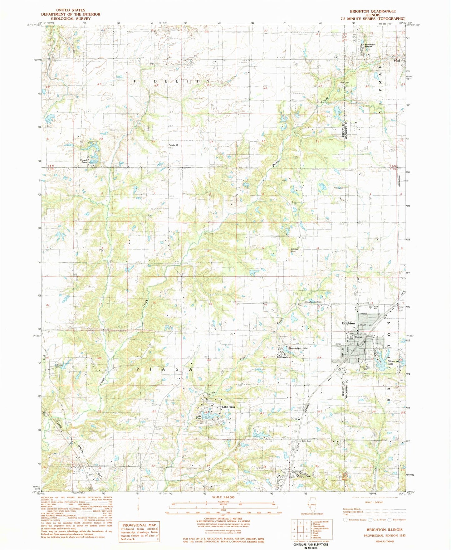
Classic USGS Brighton Illinois 7.5'x7.5' Topo Map
Couldn't load pickup availability
Historical USGS topographic quad map of Brighton in the state of Illinois. Map scale may vary for some years, but is generally around 1:24,000. Print size is approximately 24" x 27"
This quadrangle is in the following counties: Jersey, Macoupin, Madison.
The map contains contour lines, roads, rivers, towns, and lakes. Printed on high-quality waterproof paper with UV fade-resistant inks, and shipped rolled.
Contains the following named places: Asbury Cemetery, Asbury Methodist Church, Baptist Church Cemetery, Betsy Ann Park, Botts Cemetery, Briarwood Lake, Brighton, Brighton Betsy Ann Fire Protection District, Brighton North Elementary School, Brighton Police Department, Brighton Post Office, Brighton West Elementary School, Budd School, Carlson Lake, Carlson Lake Dam, Central School, Chapman Cemetery, Craig Lake, Craig Lake Dam, Crystal Lake, Crystal Lake Dam, Dehne Cemetery, Dehne School, Diamond Hill School, Edwards Cemetery, Eldridge Cemetery, Eldridge School, Feyerabend Pond, Feyerabend Pond Dam, Gotter Pond, Gotter Pond Dam, Jones Pond, Jones Pond Dam, Lake Piasa, Lake Piasa Dam, Marston Cemetery, Mount Pleasant Cemetery, Paradise Church, Paradise School, Pembroke School, Prairie Union School, Rowden Lake, Rowden Lake Dam, Saint Alphonsus Cemetery, Southwestern High School, Thunderbird Lake, Township of Piasa, Trible Cemetery, Village of Brighton, Wagenblast School, ZIP Codes: 62012, 62079