MyTopo
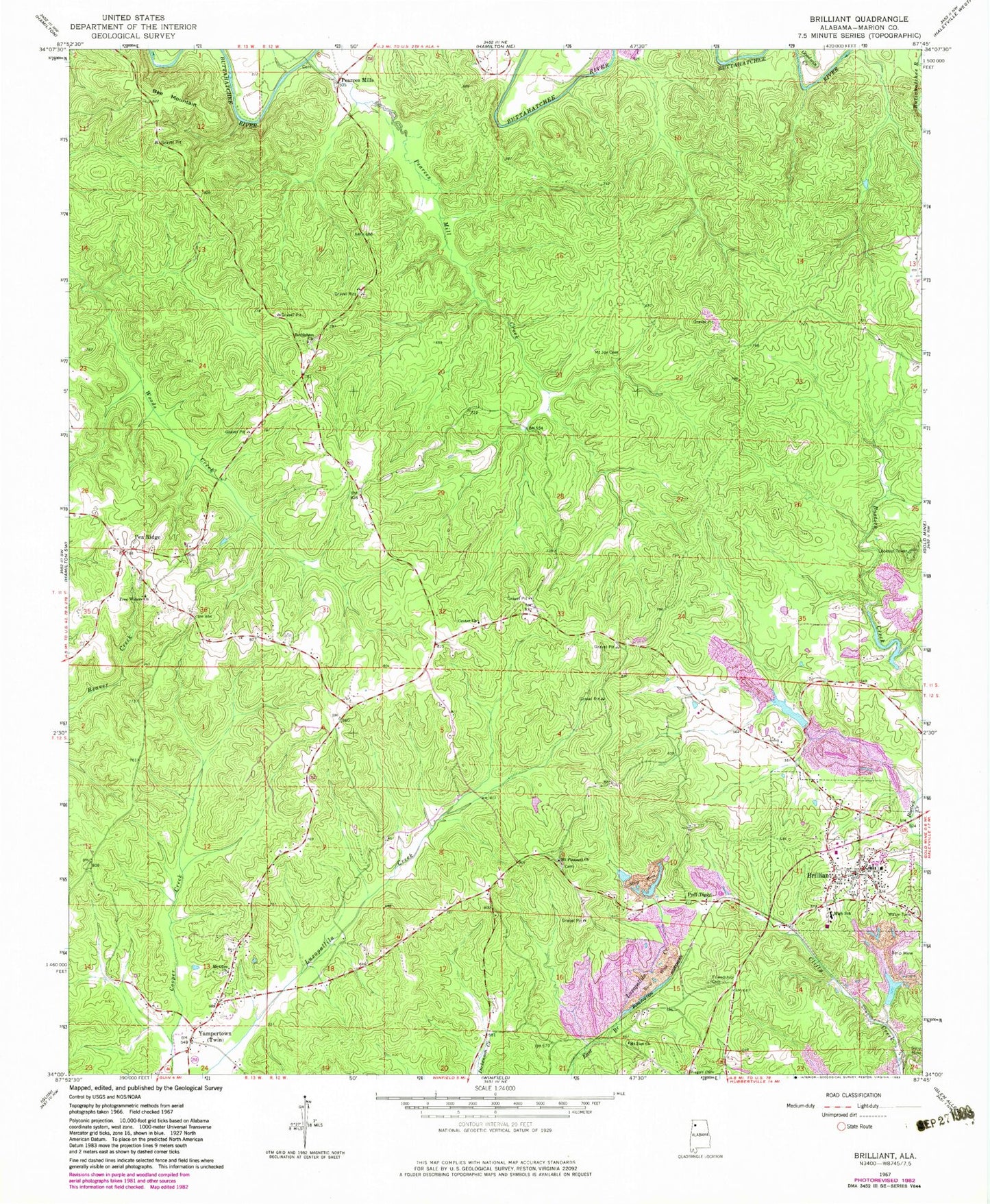
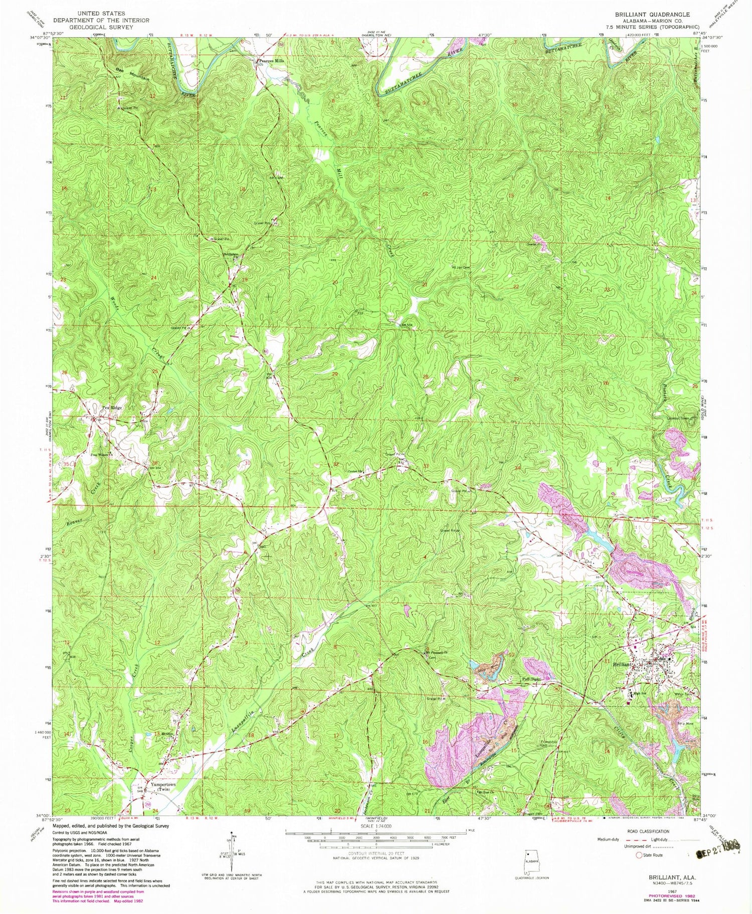
Classic USGS Brilliant Alabama 7.5'x7.5' Topo Map
Couldn't load pickup availability
Historical USGS topographic quad map of Brilliant in the state of Alabama. Map scale may vary for some years, but is generally around 1:24,000. Print size is approximately 24" x 27"
This quadrangle is in the following counties: Marion.
The map contains contour lines, roads, rivers, towns, and lakes. Printed on high-quality waterproof paper with UV fade-resistant inks, and shipped rolled.
Contains the following named places: Bee Mountain, Bethlehem Church, Boston Cemetery, Brilliant, Brilliant High School, Brilliant Lake, Brilliant Lake Dam, Brilliant Memorial Cemetery, Brilliant Police Department, Brilliant Post Office, Brilliant Volunteer Fire Department, Center Cemetery, Center United Methodist Church, Douglas Walker Stadium, Fowler Cemetery, Free Waters Church, Friendship Cemetery, Goodwin Creek, Little New River Lake Number 1, Little New River Lake Number 1 Dam, Little New River Lake Number 2, Little New River Lake Number 2 Dam, May and Akers Cemetery, Mays Cemetery, Mount Joy Cemetery, Mount Olive Cemetery, Mount Olive Freewill Baptist Church, Mount Pleasant Cemetery, Mount Pleasant Freewill Baptist Church, Mount Zion Church, Old Bostick Cemetery, Pea Ridge, Pea Ridge Volunteer Fire Department, Pearces Mill Creek, Pearces Mills, Pisgah Cemetery, Pull Tight, Town of Brilliant, Town of Twin, Twin, Twin Fire and Rescue, Yampertown, ZIP Code: 35548