
MyTopo
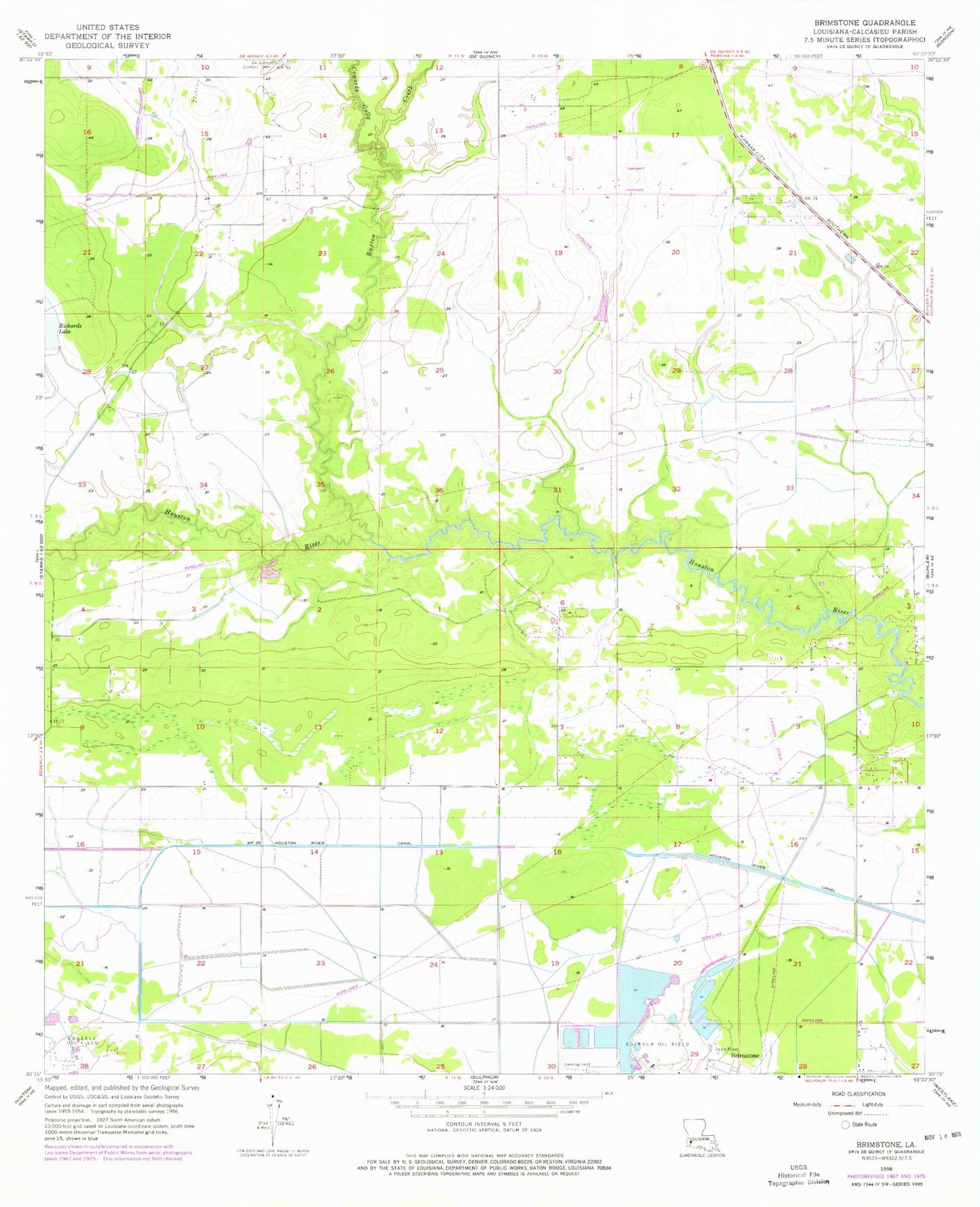
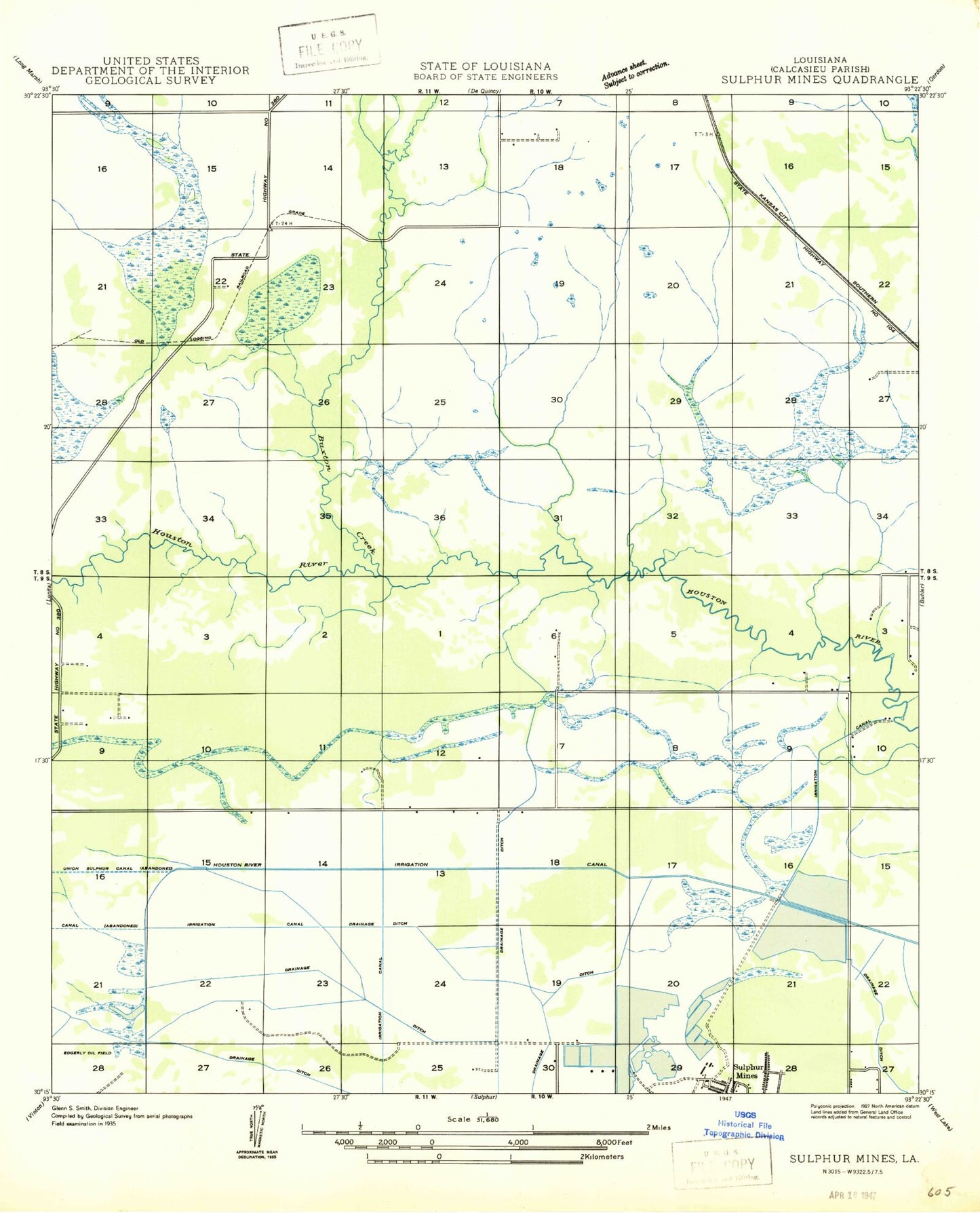
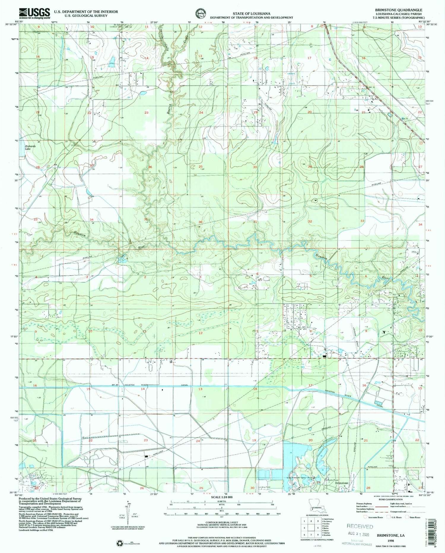
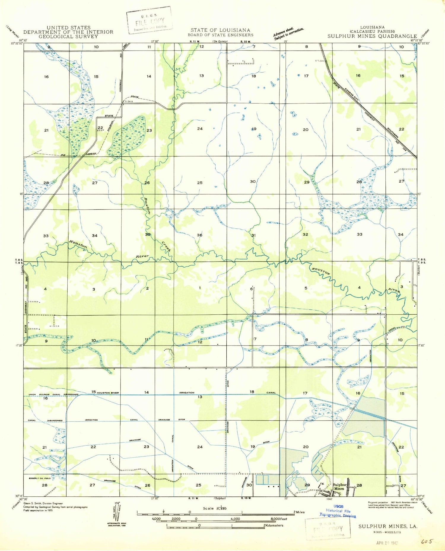
Classic USGS Brimstone Louisiana 7.5'x7.5' Topo Map
Regular price
$16.95
Regular price
Sale price
$16.95
Unit price
per
Couldn't load pickup availability
Historical USGS topographic quad map of Brimstone in the state of Louisiana. Map scale may vary for some years, but is generally around 1:24,000. Print size is approximately 24" x 27"
This quadrangle is in the following counties: Calcasieu.
The map contains contour lines, roads, rivers, towns, and lakes. Printed on high-quality waterproof paper with UV fade-resistant inks, and shipped rolled.
Contains the following named places: Buxton Creek, Cowards Gully, DeQuincy Lookout Tower, Edgerly Oil Field, Gordon Fire Tower, Houston River Canal, Houston River Volunteer Fire Department, Kingdom Hall of Jehovahs Witnesses, LeBlanc Middle School, Richards Lake, Sulphur Oil Field