MyTopo
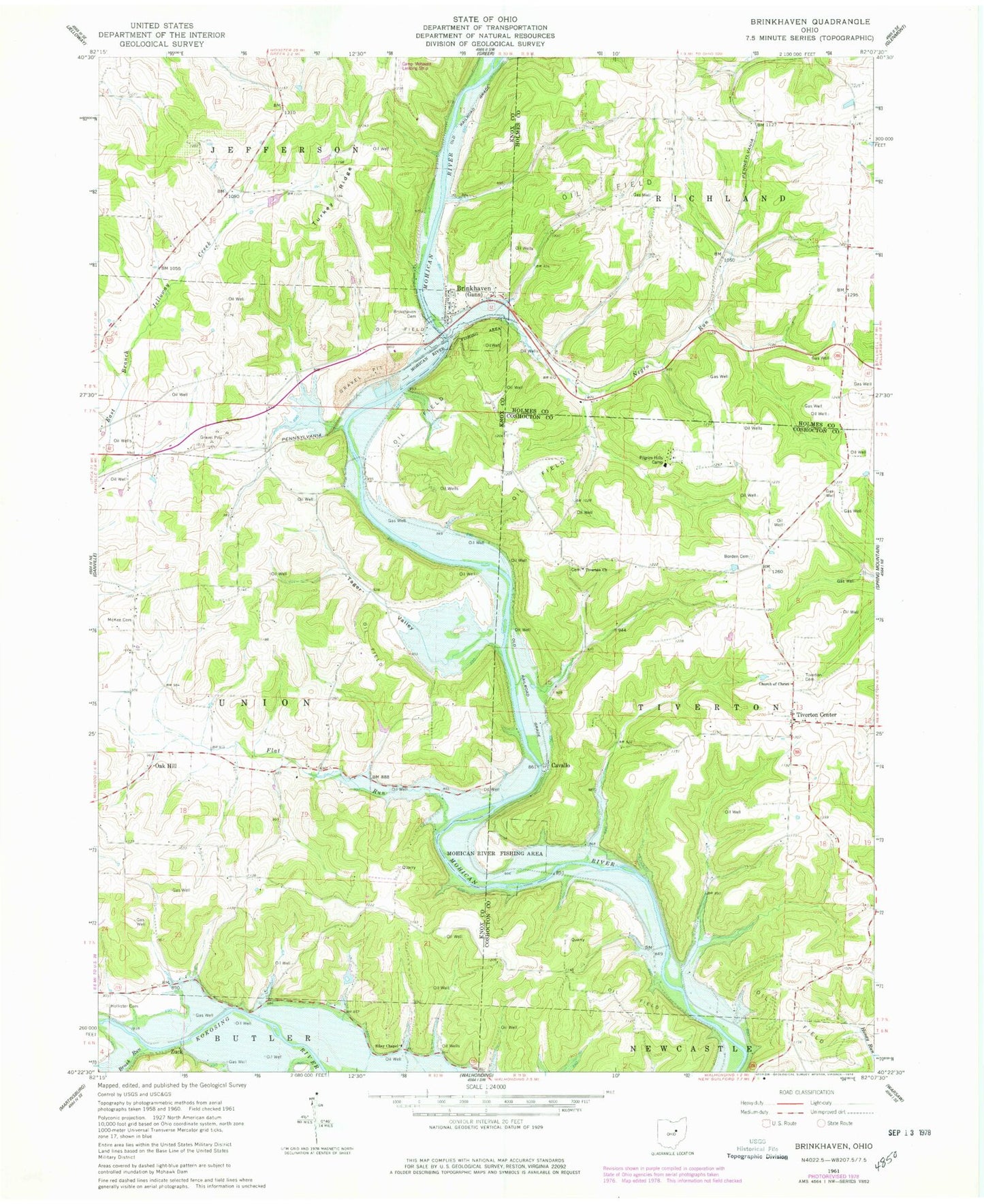
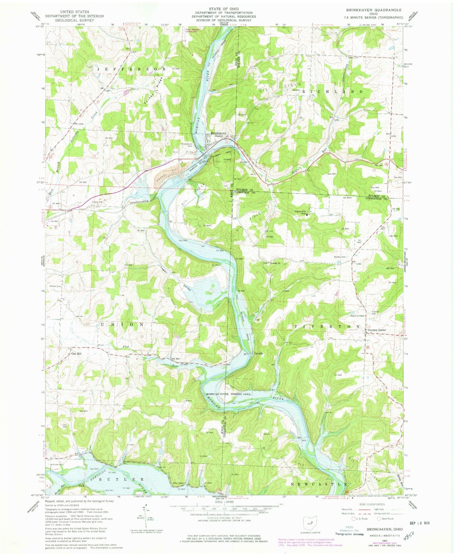
Classic USGS Brinkhaven Ohio 7.5'x7.5' Topo Map
Couldn't load pickup availability
Historical USGS topographic quad map of Brinkhaven in the state of Ohio. Typical map scale is 1:24,000, but may vary for certain years, if available. Print size: 24" x 27"
This quadrangle is in the following counties: Coshocton, Holmes, Knox.
The map contains contour lines, roads, rivers, towns, and lakes. Printed on high-quality waterproof paper with UV fade-resistant inks, and shipped rolled.
Contains the following named places: Borden Cemetery, Brinkhaven Cemetery, Brush Run, Church of Christ, Flat Run, Hollister Cemetery, Negro Run, Pilgrim Hills Camp, Riley Chapel, Tiverton Cemetery, Tiverton Church, Turkey Ridge, Hunter School (historical), Bald Hill School (historical), Oakhill School (historical), Flat Run School (historical), Tager Valley School (historical), Pleasant Valley School (historical), Turkey Ridge School (historical), House School (historical), Negro Run School (historical), Baddow Pass (historical), Mohican River Wildlife Area, Cavallo, Tiverton Center, Oak Hill, Zuck, Umbria (historical), Tager Valley, Elm Farm (historical), Jelloway Valley Farm (historical), School Number 2 (historical), School Number 7 (historical), Seven Spring Farm (historical), Hollisters (historical), Camp Mohaven Landing Strip (historical), Brinkhaven, City of Gann, Township of Tiverton, Township of Union, McKee Cemetery, Riley Cemetery, Tiverton Baptist Cemetery, Tiverton Post Office (historical), Baddow Pass Post Office (historical), Zuck Post Office (historical), Brinkhaven Post Office, Spoon River, Yankee Ridge, Village of Gann (Brinkhaven)


