MyTopo
Classic USGS Brinktown Missouri 7.5'x7.5' Topo Map
Couldn't load pickup availability
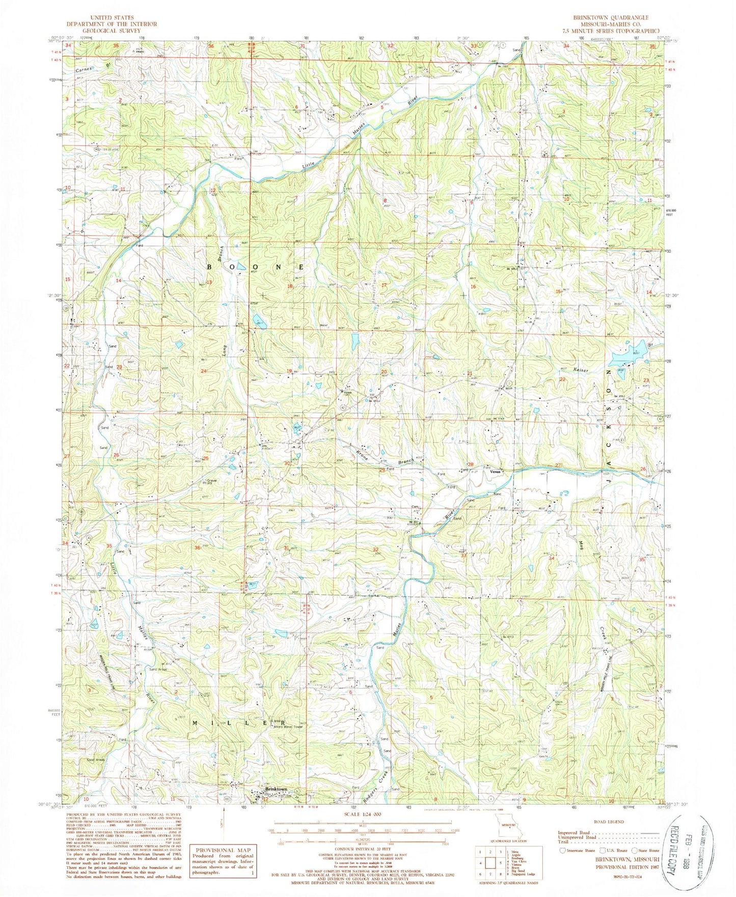
Historical USGS topographic quad map of Brinktown in the state of Missouri. Map scale may vary for some years, but is generally around 1:24,000. Print size is approximately 24" x 27"
This quadrangle is in the following counties: Maries.
The map contains contour lines, roads, rivers, towns, and lakes. Printed on high-quality waterproof paper with UV fade-resistant inks, and shipped rolled.
Contains the following named places: Blake Lake Dam, Brinktown, Burns School, Cairns, Charwood Lake, Danube Corporation Lower Dam, Danube Corporation Upper Dam, Enterprise School, Flat Top School, Guardian Angel Cemetery, Hoban Lake Dam, Kleffner Lake Dam, Krone Branch, Lambeth School, Long Branch, Mag Creek, Nepomuceno Lake Dam, Number 68 Lake, Ozark Junction, Peter Markuly Lake, Prosperity School, Rodgers Creek, Township of Boone, Venus, Wiles School, Wilson Lake Dam, ZIP Code: 65443