MyTopo
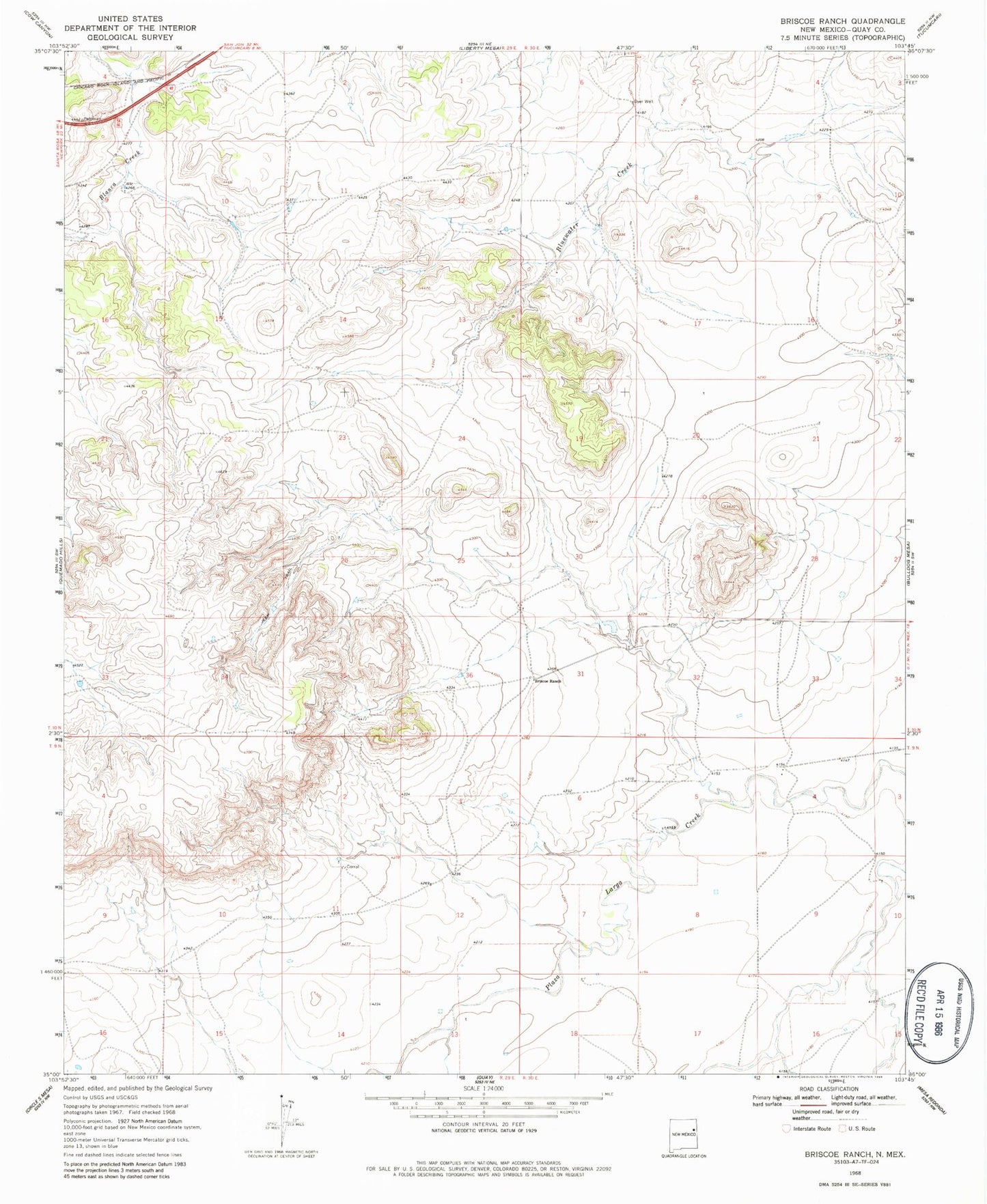
Classic USGS Briscoe Ranch New Mexico 7.5'x7.5' Topo Map
Couldn't load pickup availability
Historical USGS topographic quad map of Briscoe Ranch in the state of New Mexico. Map scale may vary for some years, but is generally around 1:24,000. Print size is approximately 24" x 27"
This quadrangle is in the following counties: Quay.
The map contains contour lines, roads, rivers, towns, and lakes. Printed on high-quality waterproof paper with UV fade-resistant inks, and shipped rolled.
Contains the following named places: 05090 Water Well, 05091 Water Well, 05092 Water Well, 05093 Water Well, 05099 Water Well, 05103 Water Well, 05104 Water Well, 05105 Water Well, 05110 Water Well, 05118 Water Well, 05120 Water Well, 05124 Water Well, 05126 Water Well, 05127 Water Well, 05128 Water Well, 05130 Water Well, 05132 Water Well, 10096 Water Well, 10100 Water Well, 10103 Water Well, 10104 Water Well, 88401, Briscoe Ranch, Jose, Kilgore, Mesa Quemado, Paris Creek, Tucumcari Division