MyTopo
Classic USGS Brislawn School Wyoming 7.5'x7.5' Topo Map
Regular price
$16.95
Regular price
Sale price
$16.95
Unit price
per
Couldn't load pickup availability
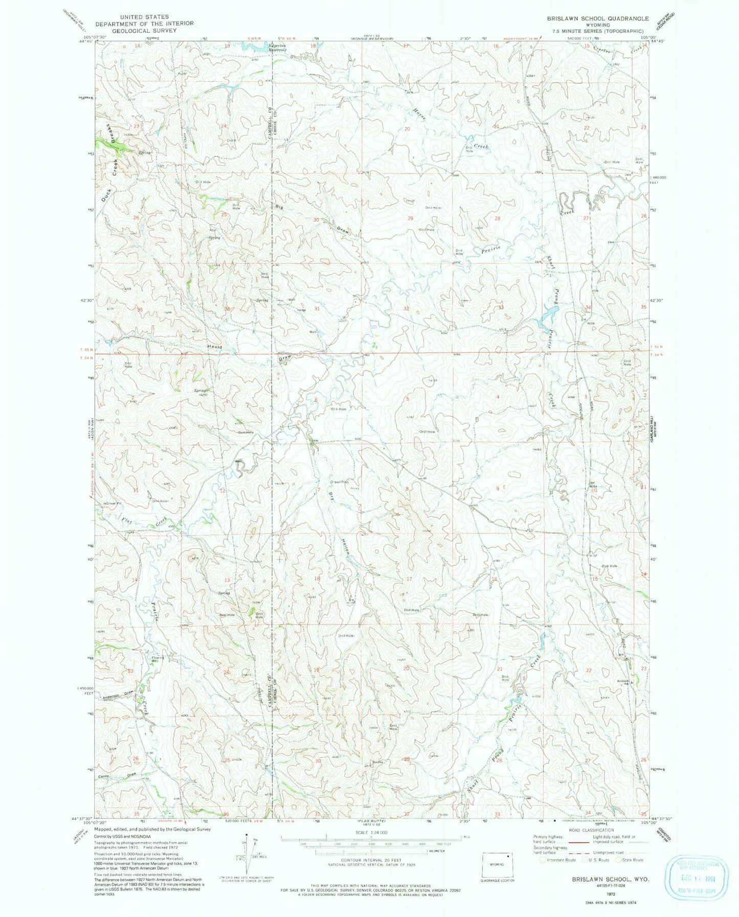
Historical USGS topographic quad map of Brislawn School in the state of Wyoming. Map scale may vary for some years, but is generally around 1:24,000. Print size is approximately 24" x 27"
This quadrangle is in the following counties: Campbell, Crook.
The map contains contour lines, roads, rivers, towns, and lakes. Printed on high-quality waterproof paper with UV fade-resistant inks, and shipped rolled.
Contains the following named places: Anderson Draw, Baker Number 1 Dam, Big Draw, Brislawn School, Canoy Draw, Dry Hollow, Edgerton Dam, Edgerton Reservoir, Flat Creek, Heald Draw, Horse Creek, Short Prong Prairie Creek