MyTopo
Classic USGS Bristol Range NE Nevada 7.5'x7.5' Topo Map
Regular price
$16.95
Regular price
Sale price
$16.95
Unit price
per
Couldn't load pickup availability
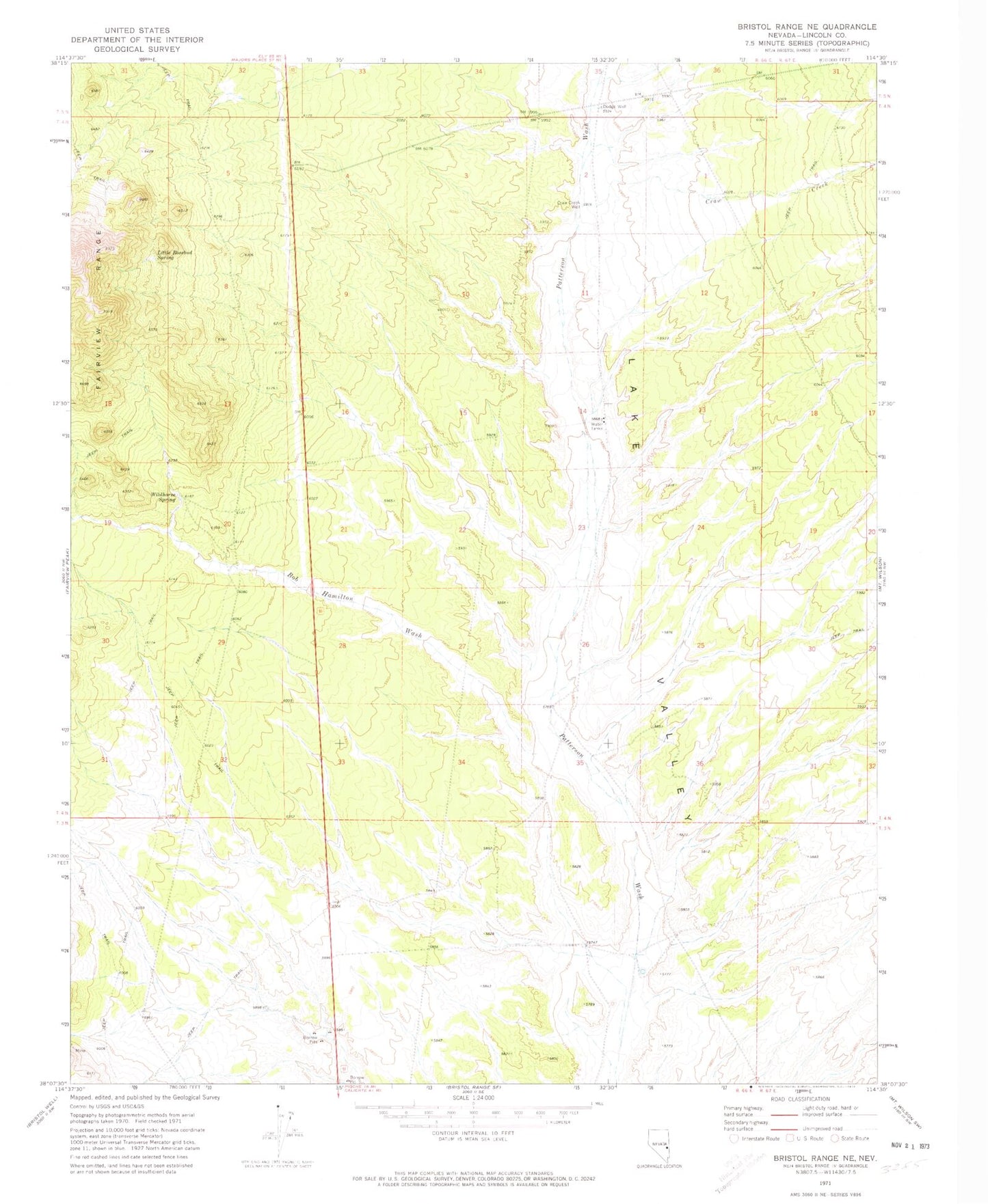
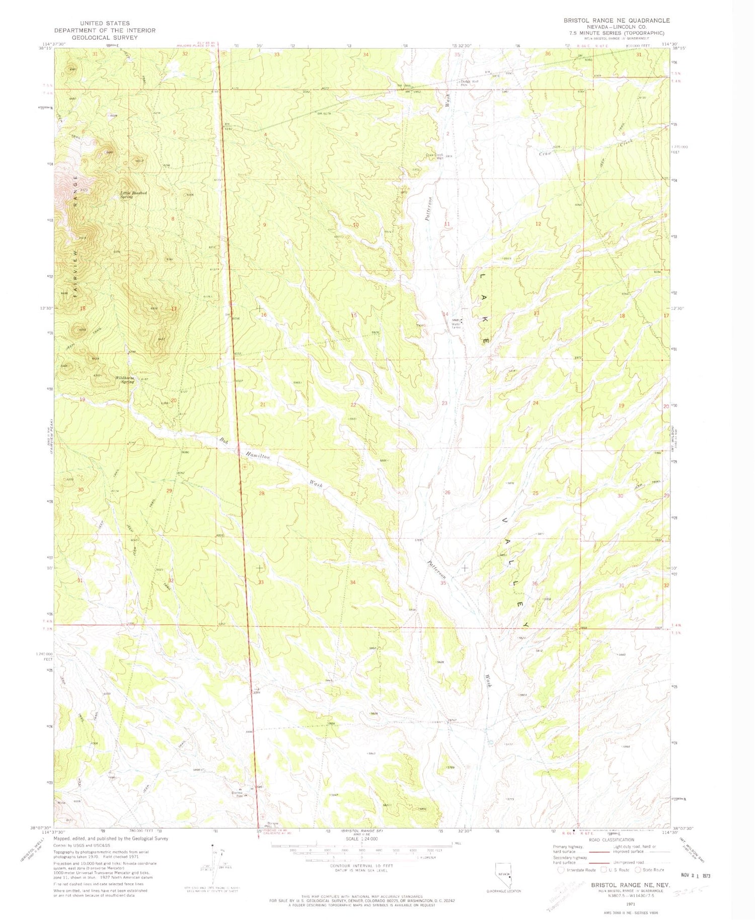
Historical USGS topographic quad map of Bristol Range NE in the state of Nevada. Map scale may vary for some years, but is generally around 1:24,000. Print size is approximately 24" x 27"
This quadrangle is in the following counties: Lincoln.
The map contains contour lines, roads, rivers, towns, and lakes. Printed on high-quality waterproof paper with UV fade-resistant inks, and shipped rolled.
Contains the following named places: Bob Hamilton Wash, Craw Creek, Craw Creek Well, Dodge Well, Little Rosebud Spring, Pioche Division, Twenty One Mile House, Twentyonemile Well, Wildhorse Spring