MyTopo
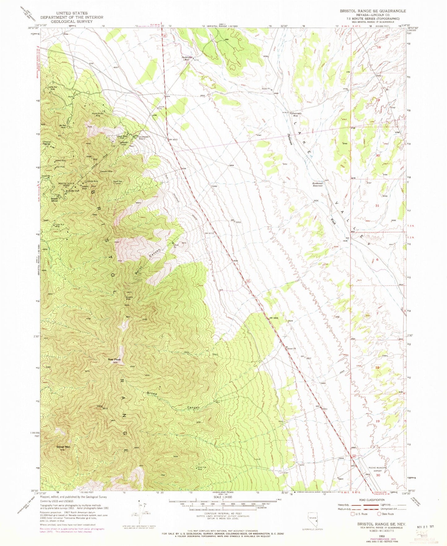
Classic USGS Bristol Range SE Nevada 7.5'x7.5' Topo Map
Couldn't load pickup availability
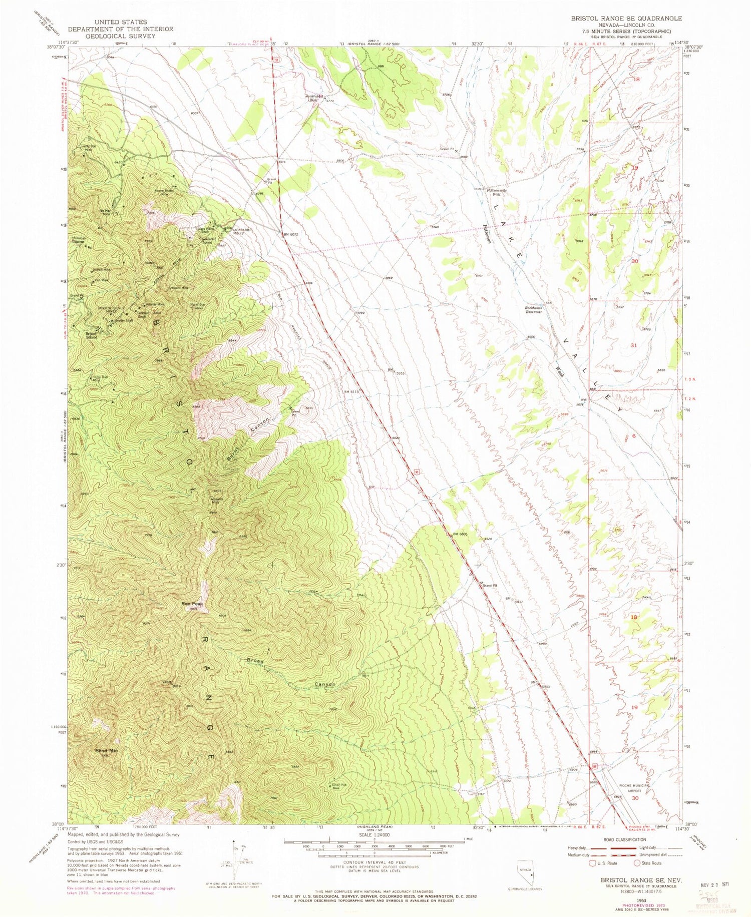
Historical USGS topographic quad map of Bristol Range SE in the state of Nevada. Map scale may vary for some years, but is generally around 1:24,000. Print size is approximately 24" x 27"
This quadrangle is in the following counties: Lincoln.
The map contains contour lines, roads, rivers, towns, and lakes. Printed on high-quality waterproof paper with UV fade-resistant inks, and shipped rolled.
Contains the following named places: Bamberger Mine, Black Metal Shaft, Blind Mountain, Bristol, Bristol Mining District, Bristol Range, Bristol School, Bristol Silver Mines, Bristol Silver Post Office, Broad Canyon, Burnt Canyon, Chinaman Diggings, Crescent Mine, Detroit Mine, Fifteen Mile Ranch, Fifteenmile Well, Hillside Mine, Home Run Mine, Ida May Box, Ida May Mine, Iron Mine, Jackrabbit, Jackrabbit Mines, Jackrabbit Tunnel, Jackrabbit Well, Lucky Star Mine, Monarch Mine, North Star Tunnel, Page Creek, Pioche Airport, Pioche Township, Pioche-Bristol Mine, Rockhouse Reservoir, Roe Peak, Royal City Post Office, Silver Pick Mine, Snyder Shaft, Stonehouse, Tempest, Tempest Post Office, Tempest Shaft


