MyTopo
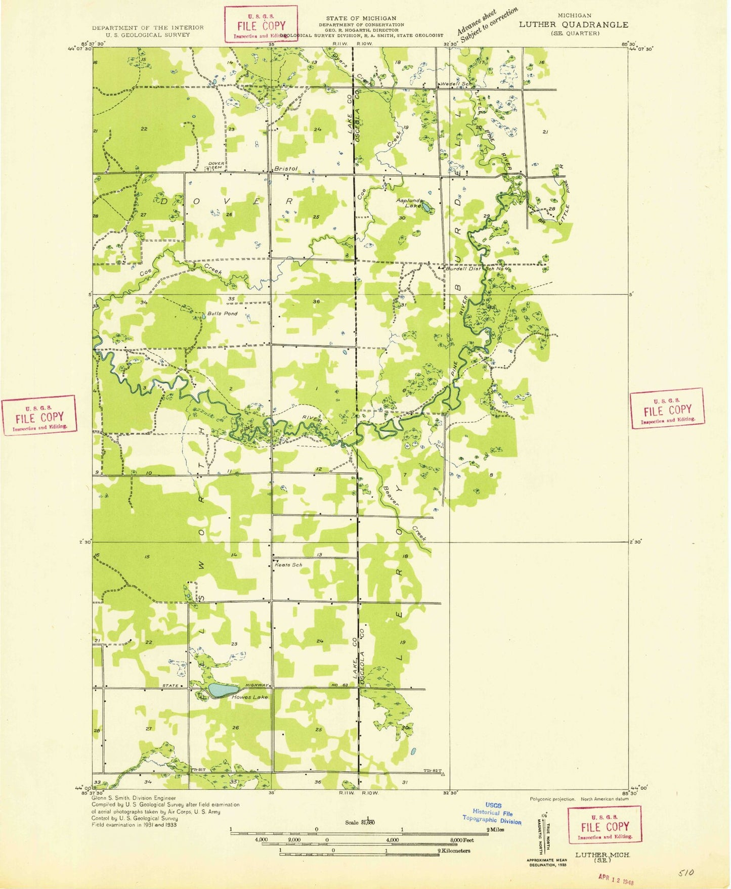
Classic USGS Bristol Michigan 7.5'x7.5' Topo Map
Couldn't load pickup availability
Historical USGS topographic quad map of Bristol in the state of Michigan. Map scale may vary for some years, but is generally around 1:24,000. Print size is approximately 24" x 27"
This quadrangle is in the following counties: Lake, Osceola.
The map contains contour lines, roads, rivers, towns, and lakes. Printed on high-quality waterproof paper with UV fade-resistant inks, and shipped rolled.
Contains the following named places: Asplund Lake, Beaver Creek, Bristol, Bristol Cemetery, Bristol Post Office, Dewing's, Dewings Post Office, Dewing's Siding, Dover Regular Baptist Church, Dyer Creek, East Branch Pine River, Edgett Church, Edgetts, Edgetts Post Office, Edgetts Station, Ellisworth Cemetery, Harman School, Hewitt Lake, Howe Lake, Keenan Post Office, Keenan Station, LeRoy Township Cemetery, Little Beaver Creek, Marl Bed Lake, North Branch Pine River, Raymond Corners, Riverbank Post Office, Riverbank Station, Sprague Creek, Township of Burdell, Township of Dover, Township of Ellsworth, Township of Le Roy