MyTopo
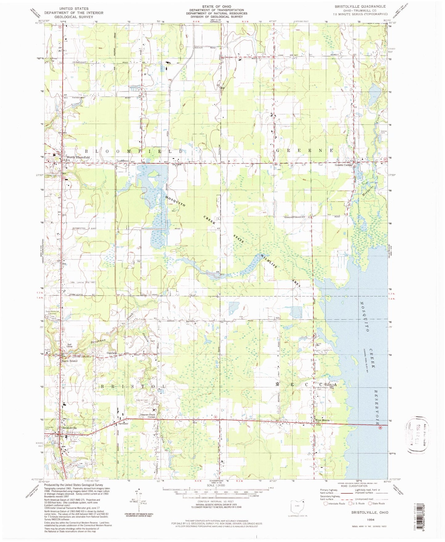
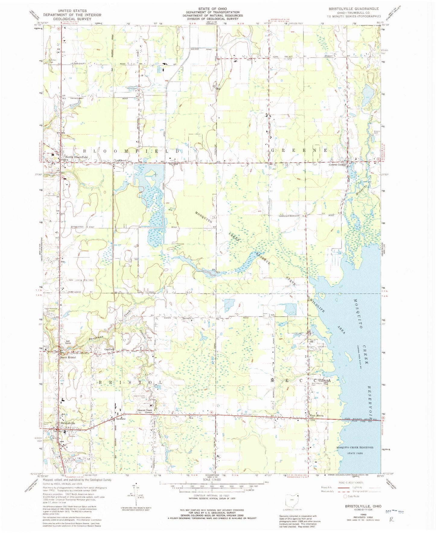
Classic USGS Bristolville Ohio 7.5'x7.5' Topo Map
Couldn't load pickup availability
Historical USGS topographic quad map of Bristolville in the state of Ohio. Map scale may vary for some years, but is generally around 1:24,000. Print size is approximately 24" x 27"
This quadrangle is in the following counties: Trumbull.
The map contains contour lines, roads, rivers, towns, and lakes. Printed on high-quality waterproof paper with UV fade-resistant inks, and shipped rolled.
Contains the following named places: Agler Farm, B M Farm, Bloomfield High School, Bloomfield Swamp, Bloomfield Township Volunteer Fire Department Station 15, Bowers Cemetery, Bristol Fire Department, Bristol High School, Bristolville, Bristolville Church of the Brethren, Bristolville Post Office, Bristolville Station, Bristolville United Methodist Church, Bristolwood Golf Course, Brownwood Cemetery, Deacon Creek, Deacon Creek Cemetery, Deacon Creek Corner, Dulka Farm, Evergreen Cemetery, Greene Cemetery, Greene Center, Greene Community Foursquare Church, Latimer Cemetery, Lockwood, Lockwood Post Office, Malone Farms, Maple Lawn Farm, Meacham Corners, Mosquito Creek State Wildlife Area, Mosquito Strip, North Bloomfield, North Bloomfield Post Office, North Bristol, North Bristol Christian Church, North Bristol Post Office, Norton Cemetery, Oakfield, Oakfield Post Office, Old Bristol Pioneer Cemetery, Parke Farms, Sager Memorial Cemetery, Salash Farm, Smith Cemetery, Snyder Ditch, Spokane, Spokane Post Office, Sugar Island, Township of Bloomfield, Township of Bristol, Township of Greene, Township of Mecca, West Mecca, West Mecca Cemetery, West Mecca Post Office, West Mecca United Methodist Church, Wildlife Pond 1306-004, Wildlife Pond 1306-004 Dam, Wood Duck Marsh, ZIP Codes: 44402, 44450


