MyTopo
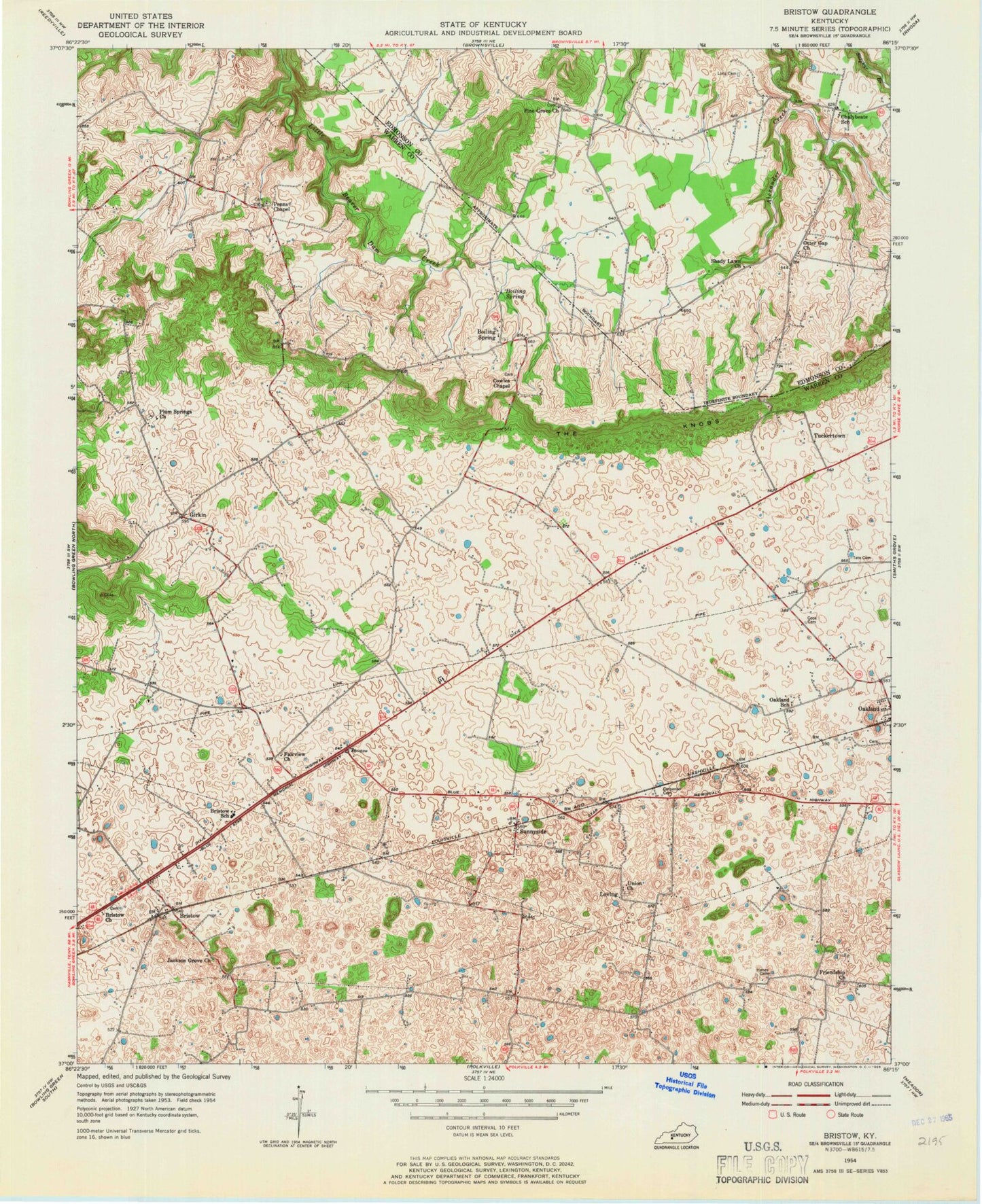
Classic USGS Bristow Kentucky 7.5'x7.5' Topo Map
Couldn't load pickup availability
Historical USGS topographic quad map of Bristow in the state of Kentucky. Map scale may vary for some years, but is generally around 1:24,000. Print size is approximately 24" x 27"
This quadrangle is in the following counties: Edmonson, Warren.
The map contains contour lines, roads, rivers, towns, and lakes. Printed on high-quality waterproof paper with UV fade-resistant inks, and shipped rolled.
Contains the following named places: Boiling Spring, Bristow, Bristow Church, Bristow Elementary School, Chalybeate School, City of Oakland, Cowles Chapel, Fairview Church, Friendship Church, Girkin, Jackson Grove Church, Long Cemetery, Loving, Old Stagecoach Stop Historical Marker, Otter Gap Church, Penns Chapel, Pine Grove Church, Plum Springs Church, Richardsville Volunteer Fire Department Station 2, Sand Hill-Girkin Division, Shady Land Church, Smithland, Sunnyside, Tuckertown, Union Church, WBLG-FM (Smiths Grove), WDNS-FM (Bowling Green)