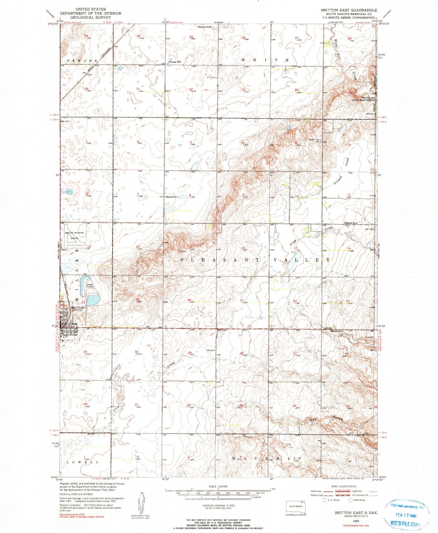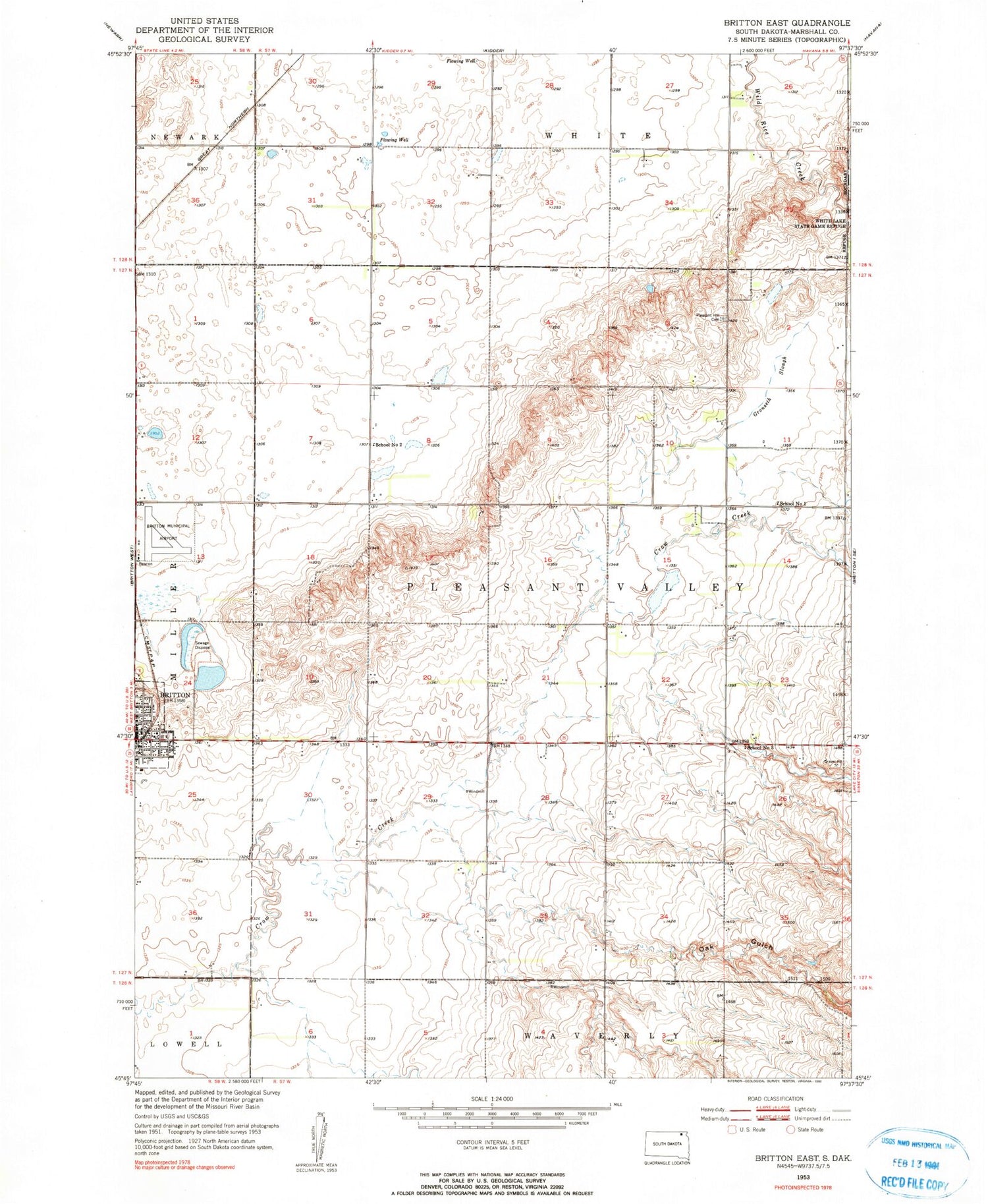
MyTopo
Classic USGS Britton East South Dakota 7.5'x7.5' Topo Map
Couldn't load pickup availability
Historical USGS topographic quad map of Britton East in the state of South Dakota. Map scale may vary for some years, but is generally around 1:24,000. Print size is approximately 24" x 27"
This quadrangle is in the following counties: Marshall.
The map contains contour lines, roads, rivers, towns, and lakes. Printed on high-quality waterproof paper with UV fade-resistant inks, and shipped rolled.
Contains the following named places: Alta, Britton Municipal Airport, Gronseth Slough, Marshall County Ambulance Service, Marshall County Healthcare Center, North Marshall Fire Department, Oak Gulch, Pleasant Hill Cemetery, School Number 1, School Number 2, School Number 3, Township of Pleasant Valley, WRC Flood Control Dam, ZIP Code: 57430