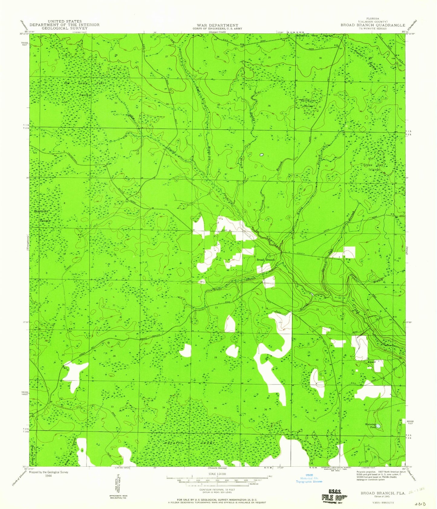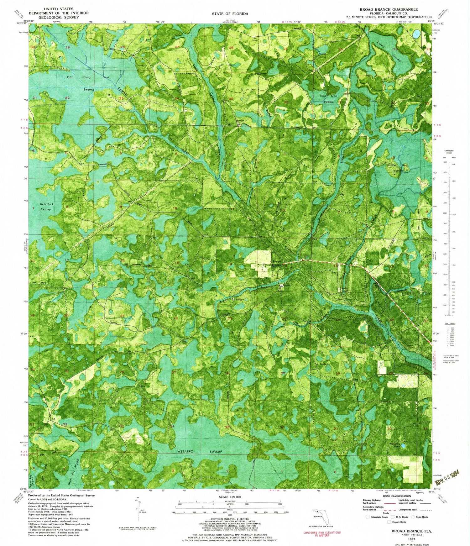

MyTopo
Classic USGS Broad Branch Florida 7.5'x7.5' Topo Map
Couldn't load pickup availability
Historical USGS topographic quad map of Broad Branch in the state of Florida. Map scale may vary for some years, but is generally around 1:24,000. Print size is approximately 24" x 27"
This quadrangle is in the following counties: Calhoun.
The map contains contour lines, roads, rivers, towns, and lakes. Printed on high-quality waterproof paper with UV fade-resistant inks, and shipped rolled.
Contains the following named places: Broad Branch, Buddy Branch, Buzzard Bay Swamp, Clearwater Branch, Clearwater Pond, Clewis Swamp, Cypress Creek, Kinard, Little Cypress Creek, Mill Point, Old Camp Four Swamp, Pole Branch, Polliwog Branch, Poplar Branch, Straw Bay Branch, Straw Bay Islands, Thirty One Swamp, Watering Pond, Wetappo Swamp