MyTopo
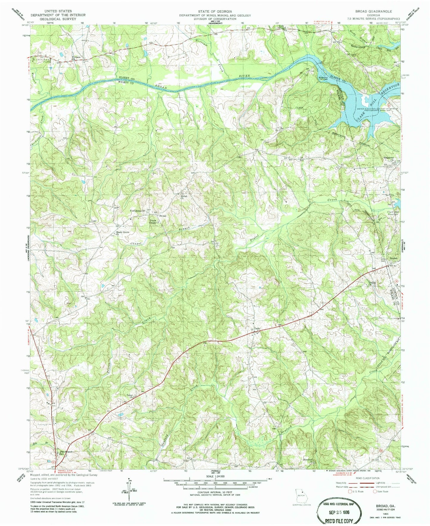
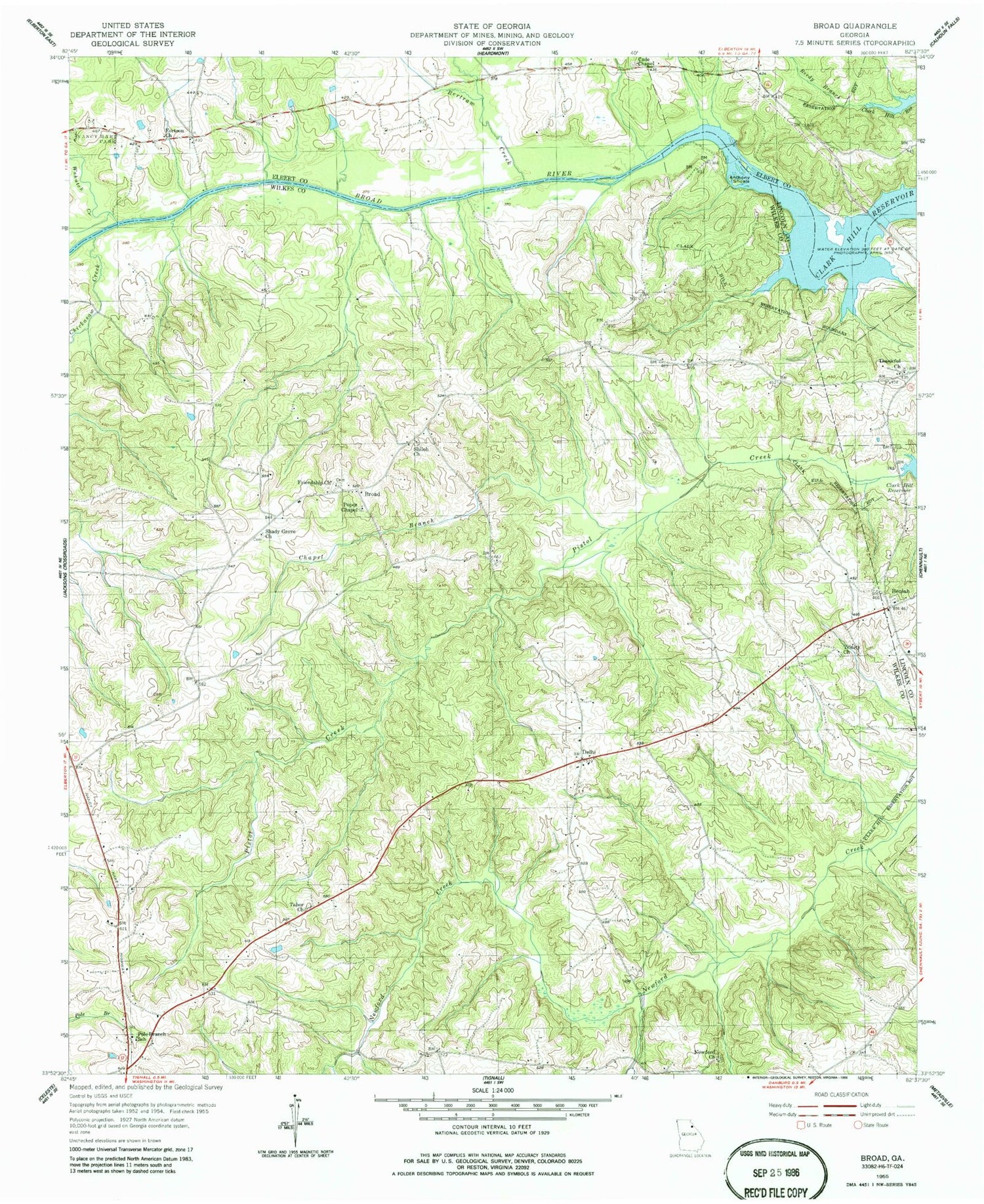
Classic USGS Broad Georgia 7.5'x7.5' Topo Map
Couldn't load pickup availability
Historical USGS topographic quad map of Broad in the state of Georgia. Map scale may vary for some years, but is generally around 1:24,000. Print size is approximately 24" x 27"
This quadrangle is in the following counties: Elbert, Lincoln, Wilkes.
The map contains contour lines, roads, rivers, towns, and lakes. Printed on high-quality waterproof paper with UV fade-resistant inks, and shipped rolled.
Contains the following named places: Anthony Ferry, Anthony Shoals, Bakers Ferry, Bertram Creek, Beulah, Beulah Baptist Cemetery, Beulah Church, Beulah Volunteer Fire Department, Broad, Cade Chapel, Cades Chapel Baptist Cemetery, Chapel Branch, Chickasaw Creek, Delhi, Dyson, Fortson Church, Friendship Cemetery, Friendship Church, Great Oaks Airport, Green Island, Huguenot, Killico Branch, Nancy Hart State Park, Newford Church, Pole Branch Baptist Cemetery, Pole Branch School, Popes Chapel, Popes Chapel Cemetery, Reedy Branch, Shady Grove Church, Shiloh Church, Tabor Cemetery, Tabor Church, Thankful Church, Tignall Division, Trinity Church, Wahachee Creek, ZIP Code: 30668