
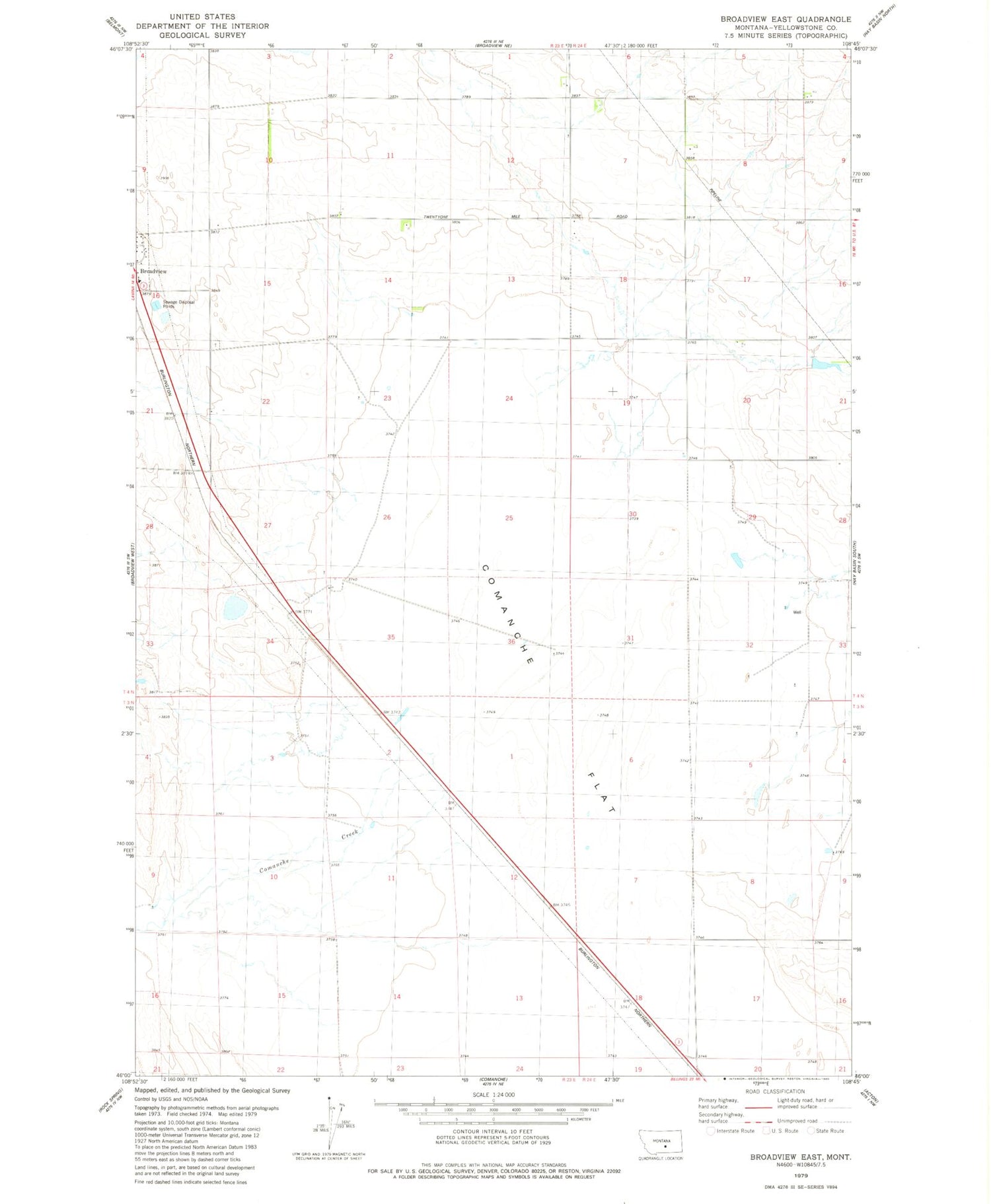
MyTopo
Classic USGS Broadview East Montana 7.5'x7.5' Topo Map
Regular price
$16.95
Regular price
Sale price
$16.95
Unit price
per
Couldn't load pickup availability
Historical USGS topographic quad map of Broadview East in the state of Montana. Map scale may vary for some years, but is generally around 1:24,000. Print size is approximately 24" x 27"
This quadrangle is in the following counties: Yellowstone.
The map contains contour lines, roads, rivers, towns, and lakes. Printed on high-quality waterproof paper with UV fade-resistant inks, and shipped rolled.
Contains the following named places: 04N23E12D___01 Well, 04N23E14ABAB01 Well, 04N23E14ABBA01 Well, 04N24E07BABB01 Well, 59015, Comanche Creek, Comanche Flat, Frey Dam


