MyTopo
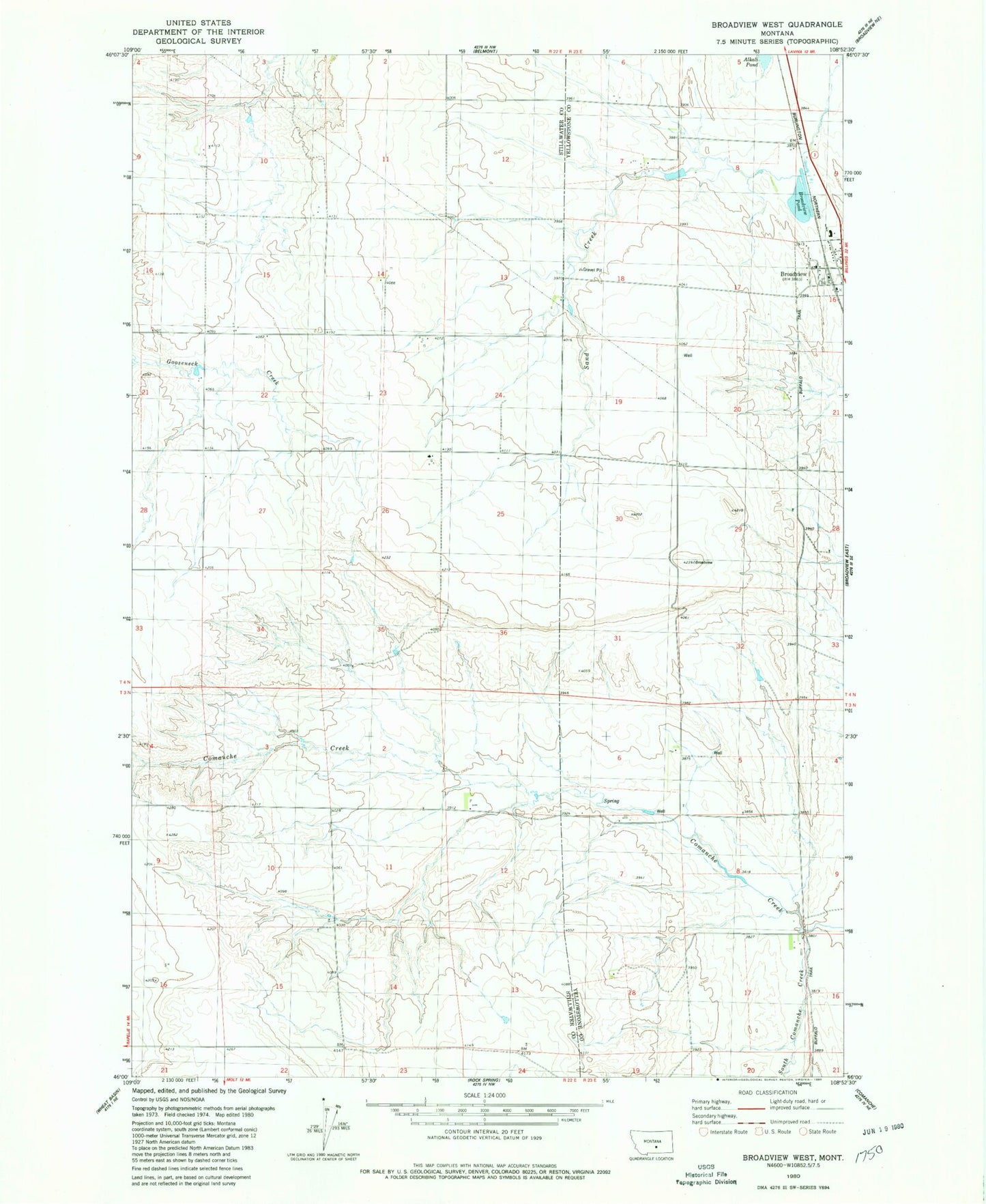
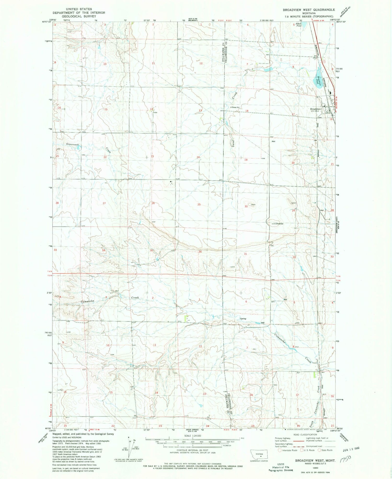
Classic USGS Broadview West Montana 7.5'x7.5' Topo Map
Couldn't load pickup availability
Historical USGS topographic quad map of Broadview West in the state of Montana. Map scale may vary for some years, but is generally around 1:24,000. Print size is approximately 24" x 27"
This quadrangle is in the following counties: Stillwater, Yellowstone.
The map contains contour lines, roads, rivers, towns, and lakes. Printed on high-quality waterproof paper with UV fade-resistant inks, and shipped rolled.
Contains the following named places: 03N23E04C___01 Well, 03N23E17A___01 Well, 04N22E14ACCB01 Well, 04N23E16BCCC01 Well, 04N47E31CBCA01 Well, Broadview, Broadview Pond, Broadview Pond Fishing Access Site, Broadview Post Office, Broadview Volunteer Fire Department, Conover Number 2 Dam, Nowhere Dam, South Comanche Creek, Town of Broadview