MyTopo
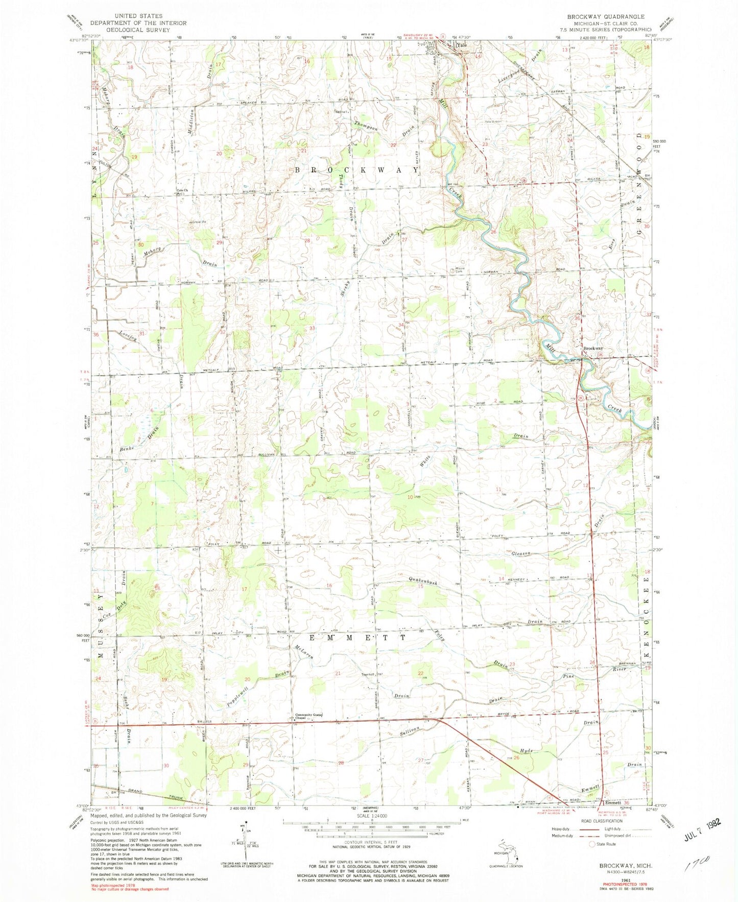
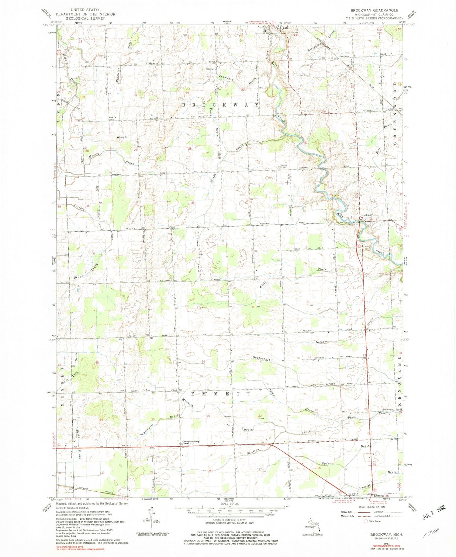
Classic USGS Brockway Michigan 7.5'x7.5' Topo Map
Couldn't load pickup availability
Historical USGS topographic quad map of Brockway in the state of Michigan. Map scale may vary for some years, but is generally around 1:24,000. Print size is approximately 24" x 27"
This quadrangle is in the following counties: St. Clair.
The map contains contour lines, roads, rivers, towns, and lakes. Printed on high-quality waterproof paper with UV fade-resistant inks, and shipped rolled.
Contains the following named places: Beehr Drain, Benke Drain, Brockway, Brockway Post Office, Brockway Township Fire Department, Brockway Township Fire Station One, Cole Church, Cole United Methodist Church Historical Marker, Community Gospel Chapel, Family First Health Care Clinic, Foley Drain, Greater Yale Medical Clinic, Lovejoy Drain, McLaren Drain, Middleton Drain, Moore Cemetery, Popplewell Drain, Sheehy Drain, Sullivan Drain, Thody Drain, Thompson Drain, Township of Brockway, Township of Emmett, Tri - Hospital Emergency Medical Services Station 6, Yale Airport, Yale Fire Department, ZIP Codes: 48022, 48097