MyTopo
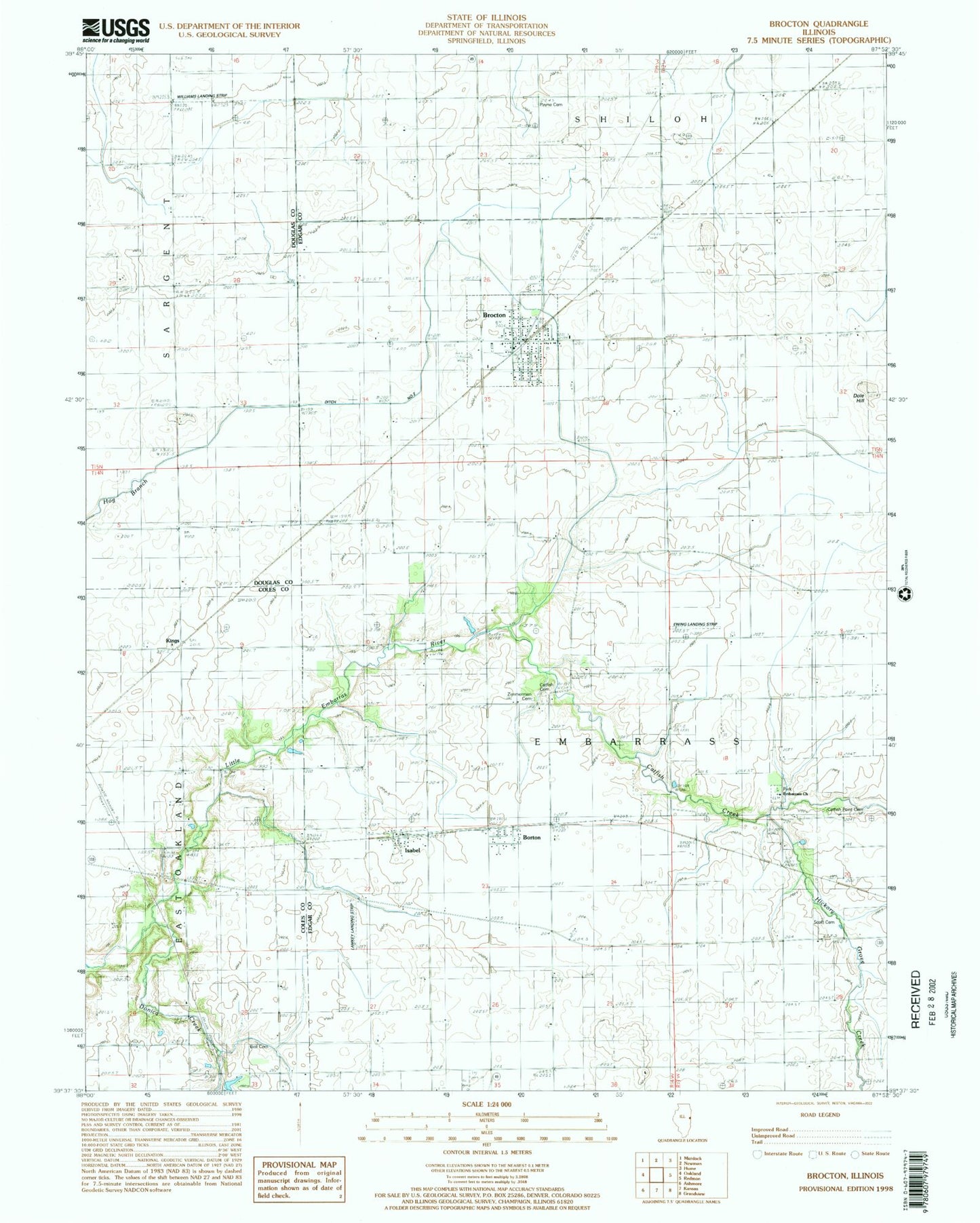
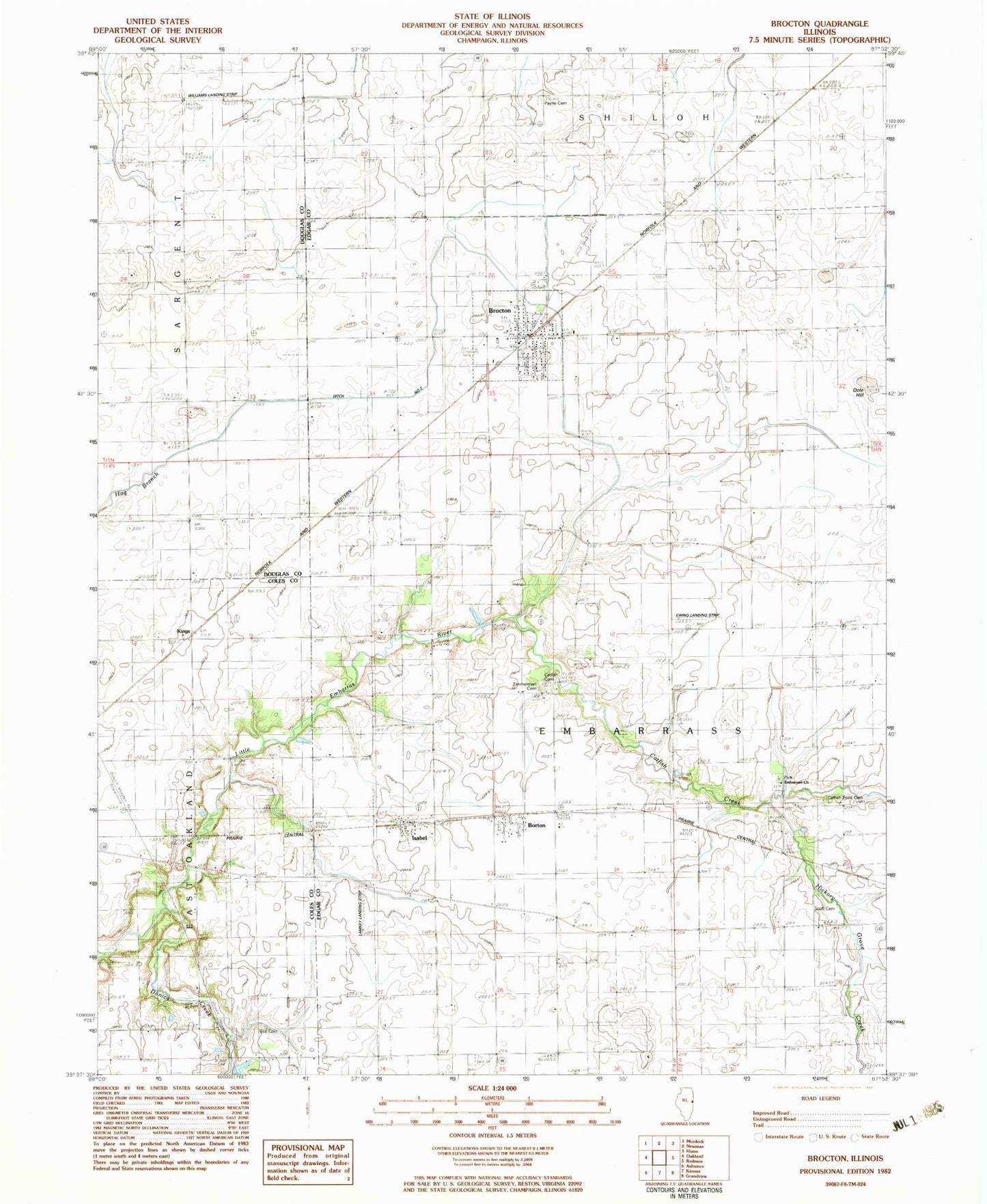
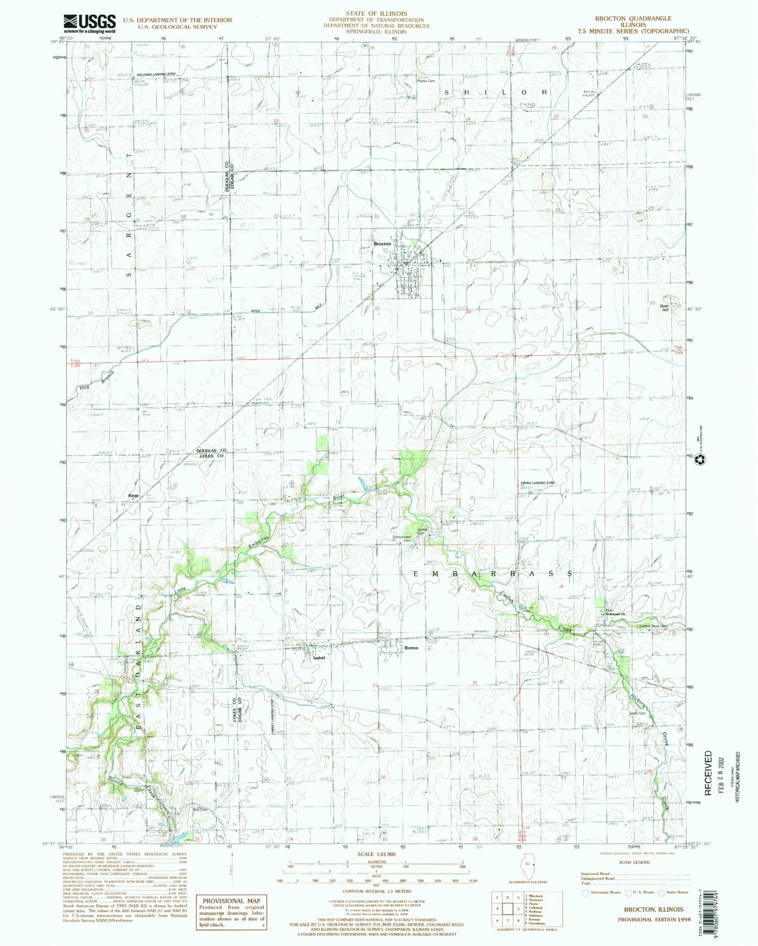
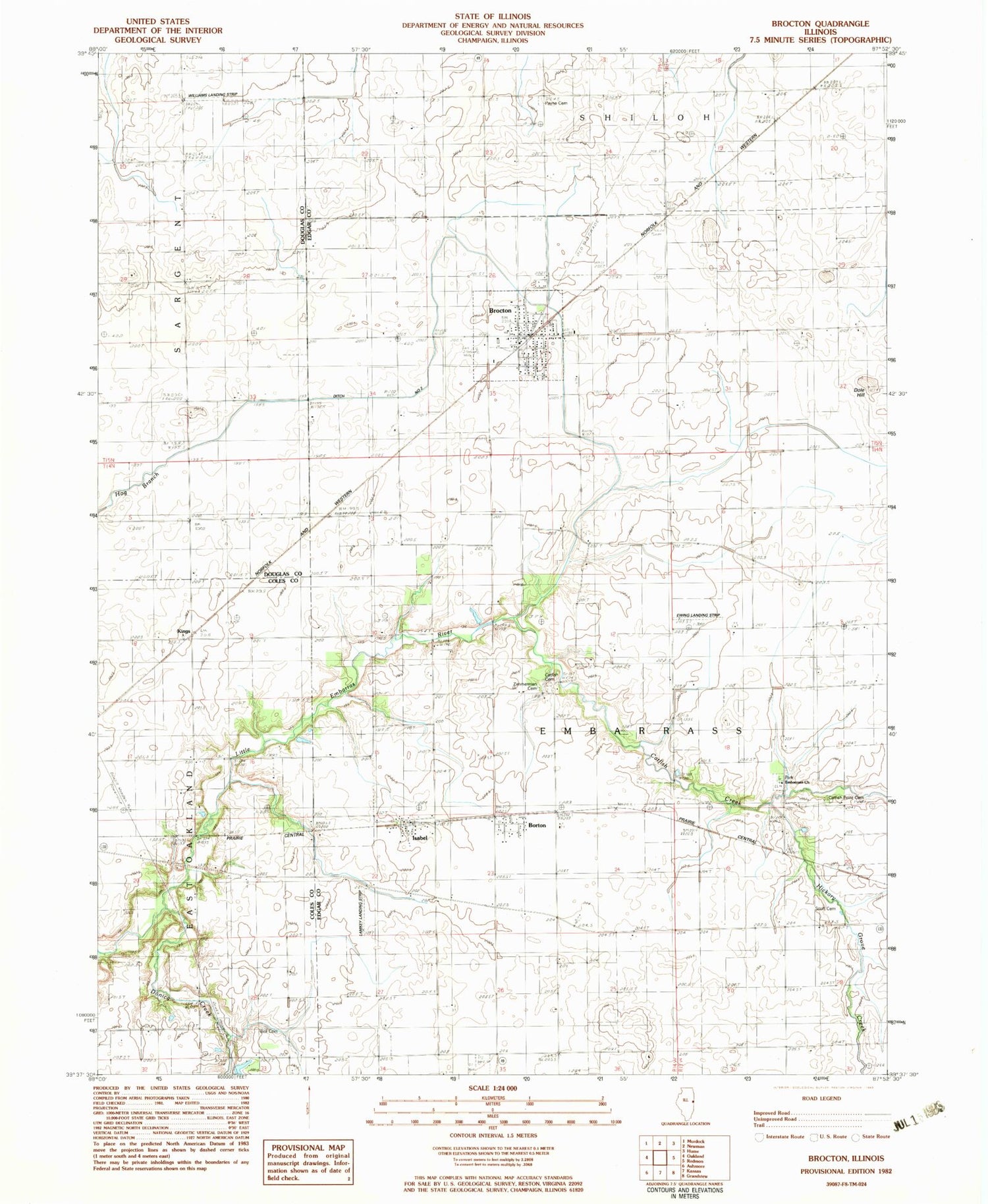
Classic USGS Brocton Illinois 7.5'x7.5' Topo Map
Couldn't load pickup availability
Historical USGS topographic quad map of Brocton in the state of Illinois. Map scale may vary for some years, but is generally around 1:24,000. Print size is approximately 24" x 27"
This quadrangle is in the following counties: Coles, Douglas, Edgar.
The map contains contour lines, roads, rivers, towns, and lakes. Printed on high-quality waterproof paper with UV fade-resistant inks, and shipped rolled.
Contains the following named places: Baltimore School, Bell Cemetery, Borton, Brocton, Brocton Fire Protection District, Brocton Post Office, Catfish, Catfish Cemetery, Catfish Creek, Catfish Point Cemetery, Catfish School, Dole Hill, Dole School, Donica Creek, Drainage Ditch Number 2, East Donica School, Embarrass Cemetery, Embarrass Church, Enode School, Ewing Landing Strip, Fairplay School, Hanner School, Hickory Grove Creek, Independent School, Isabel, Kings, Lake Union School, Lamkey Landing Strip, McCollum School, Merkle School, New Athens, Payne Cemetery, Payne School, Sandridge School, Scott Cemetery, Township of Embarrass, Village of Brocton, Williams Landing Strip, Zimmerman Cemetery, ZIP Code: 61917