MyTopo
Classic USGS Brodhead East Wisconsin 7.5'x7.5' Topo Map
Regular price
$16.95
Regular price
Sale price
$16.95
Unit price
per
Couldn't load pickup availability
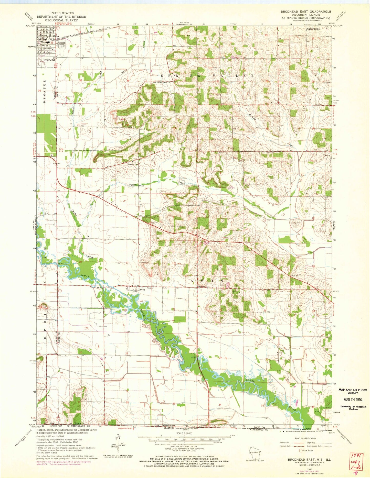
Historical USGS topographic quad map of Brodhead East in the state of Wisconsin. Map scale may vary for some years, but is generally around 1:24,000. Print size is approximately 24" x 27"
This quadrangle is in the following counties: Green, Rock, Winnebago.
The map contains contour lines, roads, rivers, towns, and lakes. Printed on high-quality waterproof paper with UV fade-resistant inks, and shipped rolled.
Contains the following named places: Avon, Avon Bottoms State Natural Area, Avon Church, Barr School, Greenwood Cemetery, Northrup Cemetery, Swan Creek, Swenson Wet Prairie State Natural Area, Taylor Creek, Town of Avon, Walnut Wash Airport, West Luther Valley Church, Willow Creek, ZIP Code: 53520