MyTopo
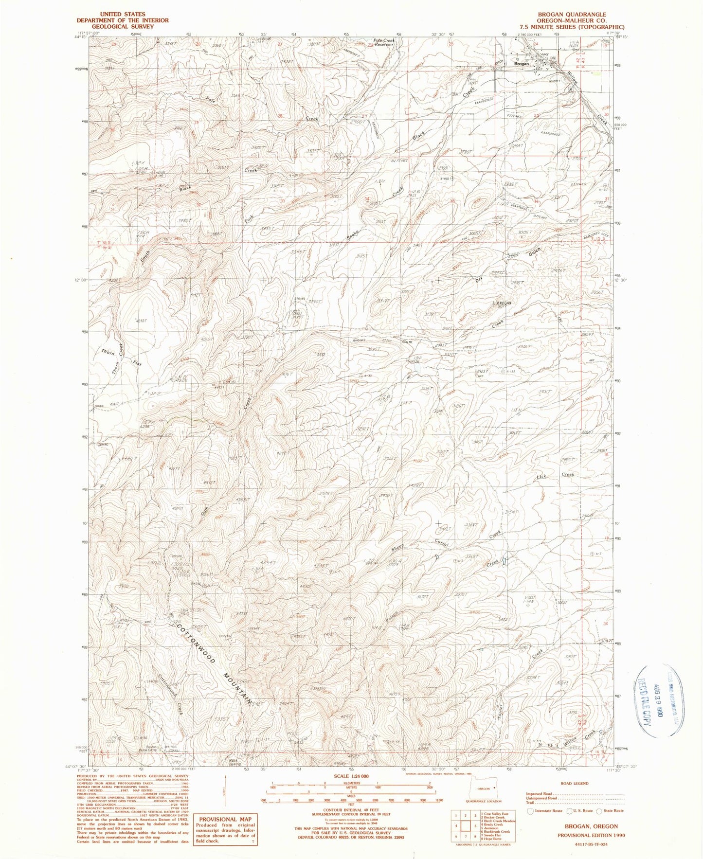
Classic USGS Brogan Oregon 7.5'x7.5' Topo Map
Couldn't load pickup availability
Historical USGS topographic quad map of Brogan in the state of Oregon. Map scale is 1:24000. Print size is approximately 24" x 27"
This quadrangle is in the following counties: Malheur.
The map contains contour lines, roads, rivers, towns, and lakes. Printed on high-quality waterproof paper with UV fade-resistant inks, and shipped rolled.
Contains the following named places: Black Creek, Boston Horse Camp, Brogan, Brogan Cemetery, Brogan Census Designated Place, Brogan Elementary School (historical), Brogan Post Office, Buck Spring, Dry Gulch, High Line Ditch, Lockett Reservoir, Lone Tree Ranch, Low Line Ditch, Poison Creek Reservoir, Pritchard Reservoir, Sheep Corral Creek, Shell Rock Spring, Snake Creek, South Fork Black Creek, Thorn Creek, Upper Turner Creek Spring, Willow Creek Reservoir Four, Wood Reservoir