MyTopo
Classic USGS Brogdon South Carolina 7.5'x7.5' Topo Map
Couldn't load pickup availability
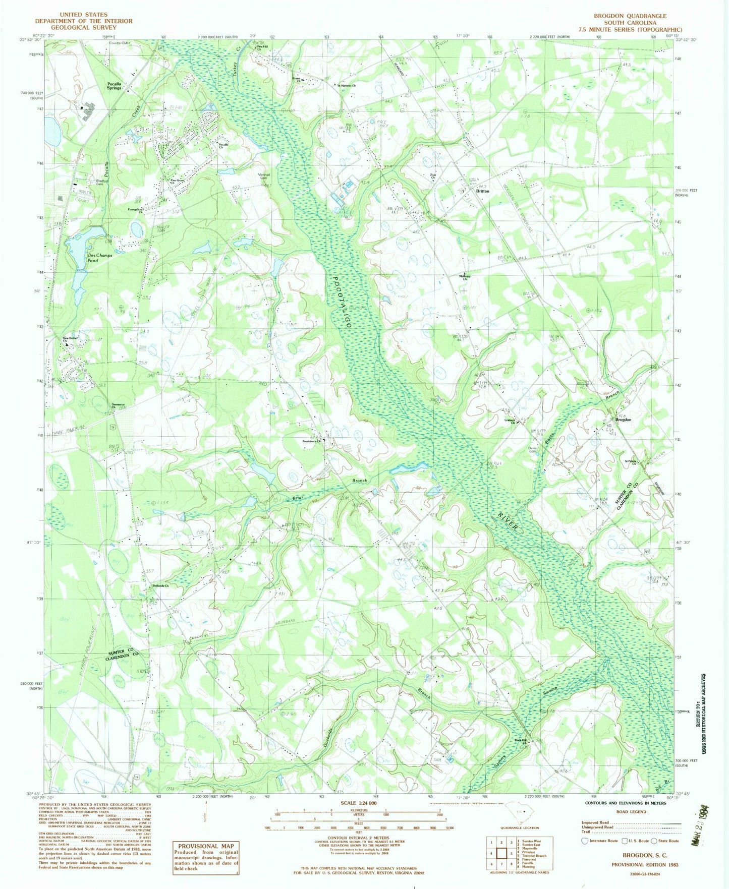
Historical USGS topographic quad map of Brogdon in the state of South Carolina. Map scale may vary for some years, but is generally around 1:24,000. Print size is approximately 24" x 27"
This quadrangle is in the following counties: Clarendon, Sumter.
The map contains contour lines, roads, rivers, towns, and lakes. Printed on high-quality waterproof paper with UV fade-resistant inks, and shipped rolled.
Contains the following named places: Big Branch, Black Crest Farm Pond, Black Crest Farm Pond Dam D-2063, Boots Branch, Bracy School, Bradford Cemetery, Briar Branch, Britton, Brogden Memorial School, Brogden School, Brogdon, Brunson School, Damascus Church, Des Champs Pond, Deschamps Big Pond, Deschamps Big Pond Dam D-2060, Deschamps Middle Pond Dam D-2061, Dogwood Lake, Dogwood Lake Dam D-2065, Evangelical Church, Fraser Church, Good Hope Church, Good Hope School, Graham Church, Guckolds Branch, Home Branch School, Idle Wild Pond, Idle Wild Pond Dam D-2064, Indian Bay, Key Branch, Lakewood, Lakewood Census Designated Place, Marshall Cemetery, McFadden School, McLaurin Pond, McLaurin Pond Dam D-2062, Mount Hermon Church, Mulberry Church, Mulberry School, New Bethel Church, Pierson Chapel, Pine Grove Church, Pine Hill Church, Pocalla Church, Pocalla Creek, Pocalla Springs, Providence Church, Providence School, Rock Hill Church, Saint James School, Saint Marks Church, Saint Mathews School, Saint Matthews Church, Saint Peters Church, Sammy Swamp, Stokes, Sumter Fire Department Bethel Station 13, Sumter Fire Department Graham Station 3, Tindal, Tindal School, Turkey Creek, Zoar Church, ZIP Code: 29150