MyTopo
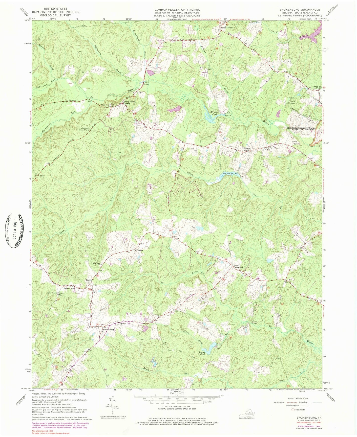
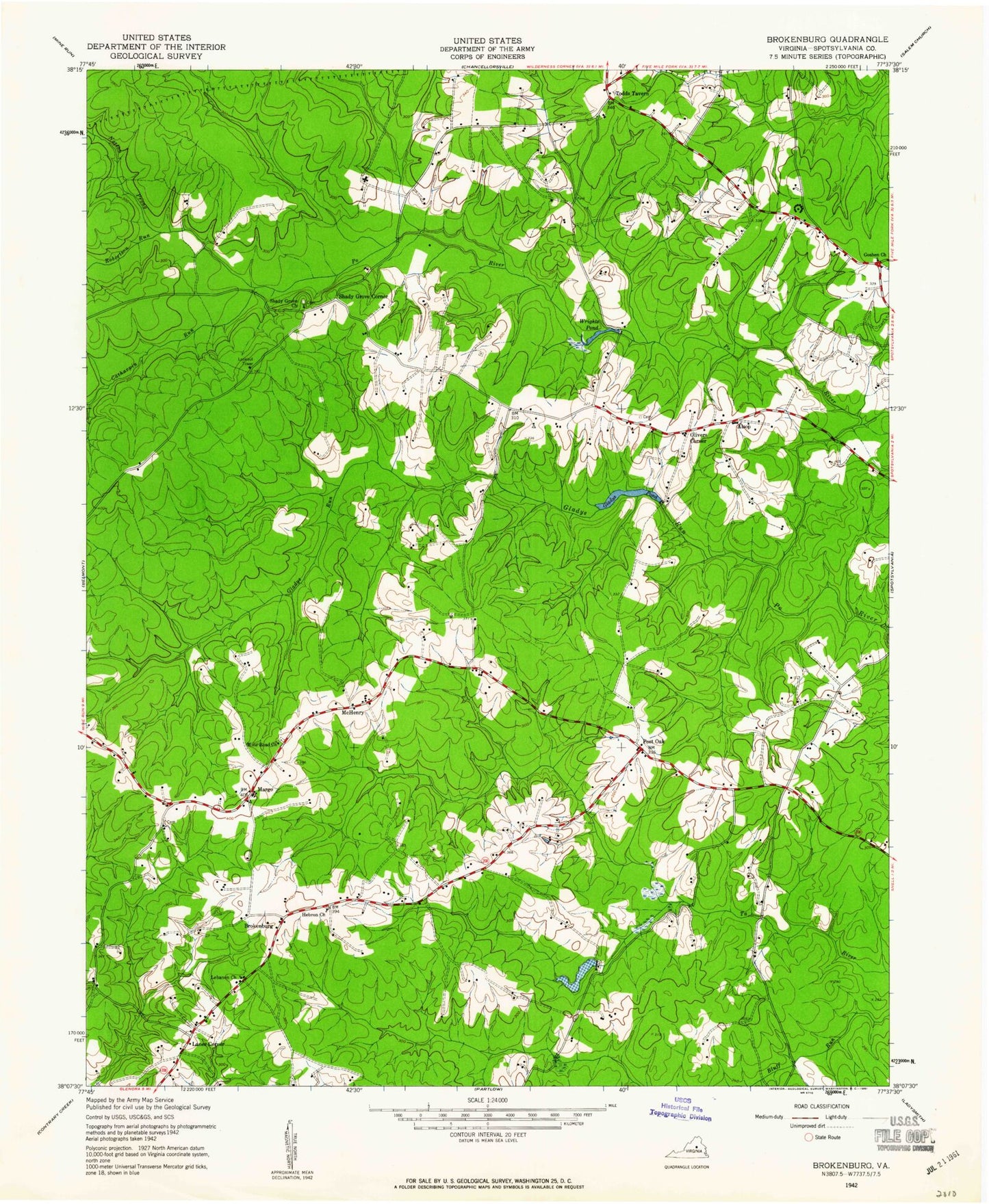
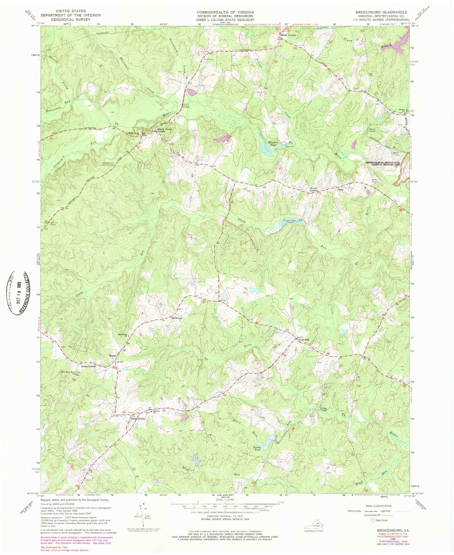
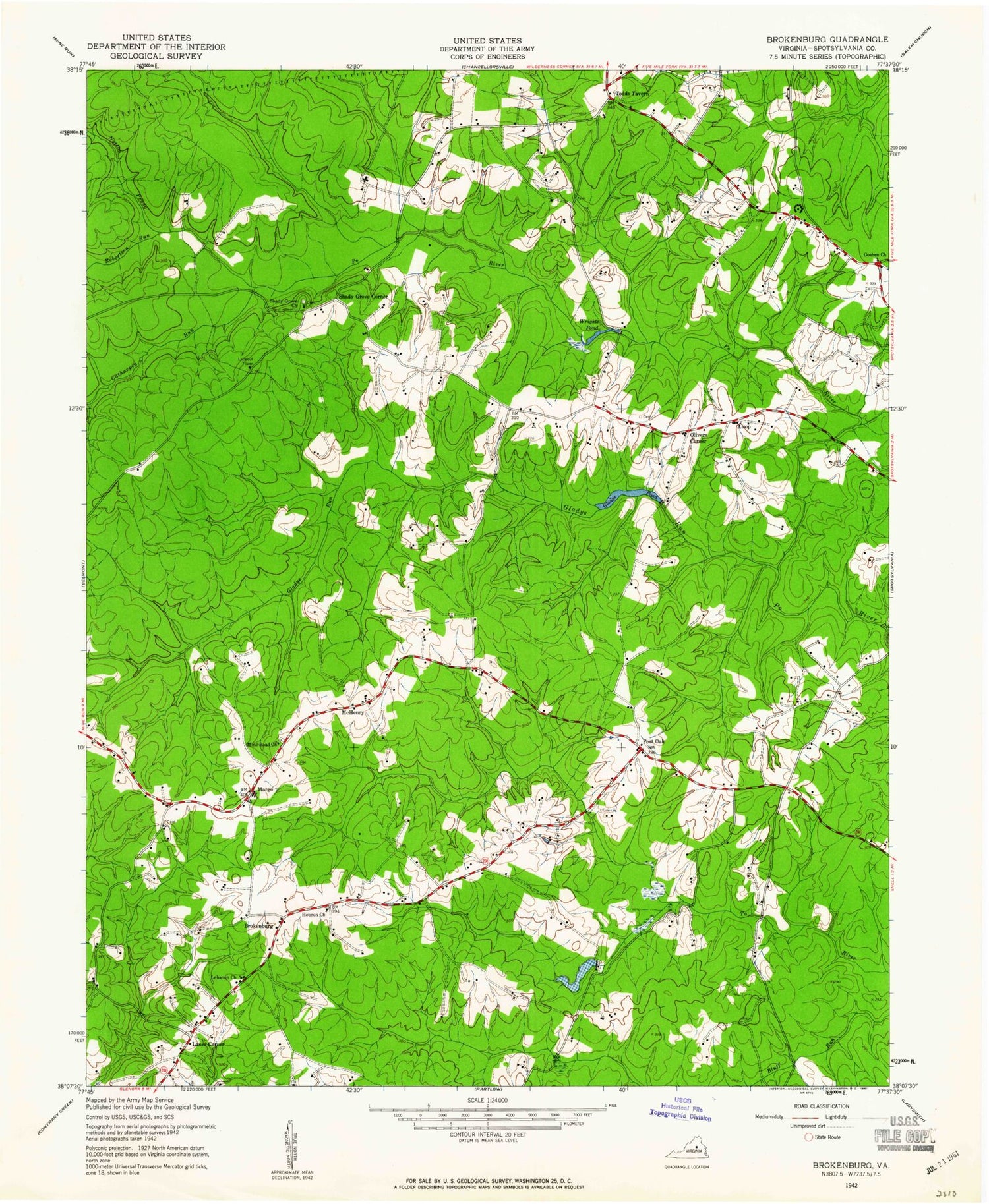
Classic USGS Brokenburg Virginia 7.5'x7.5' Topo Map
Couldn't load pickup availability
Historical USGS topographic quad map of Brokenburg in the state of Virginia. Typical map scale is 1:24,000, but may vary for certain years, if available. Print size: 24" x 27"
This quadrangle is in the following counties: Spotsylvania.
The map contains contour lines, roads, rivers, towns, and lakes. Printed on high-quality waterproof paper with UV fade-resistant inks, and shipped rolled.
Contains the following named places: Black Rock Run, Catharpin Run, Corbin Bridge, Dillard Bridge, Glady Run, Goshen Church, Greenfield Creek, Hebron Church, Little Mine Road Church, Mine Road Church, Norton Prong, Piltzer Creek, Robertson Run, Shady Grove Church, Towles Pond, Whitehall Creek, Alsop, Brokenburg, Lanes Corner, Margo, Olivers Corner, Post Oak, Spotsylvania County, Flythe Dam, Flythe Pond, Towleys Dam, Jennings Pond Dam, Wrights Pond Dam, Spotsylvania Lookout Tower, McHenry, Shady Grove Corner, Todds Tavern, WPLC-FM (Spotsylvania), Jennings Pond, Wrights Pond, Goshen Baptist Cemetery, Hebron Baptist Church Cemetery, Lebanon Church (historical), Little Mine Road Cemetery, Mine Road Cemetery, Shady Grove Cemetery, Spotsylvania Camp Meeting, Spotsylvania High School, Livingston District, Spotsylvania County Fire Station 2, Spotsylvania County Rescue Station 2


