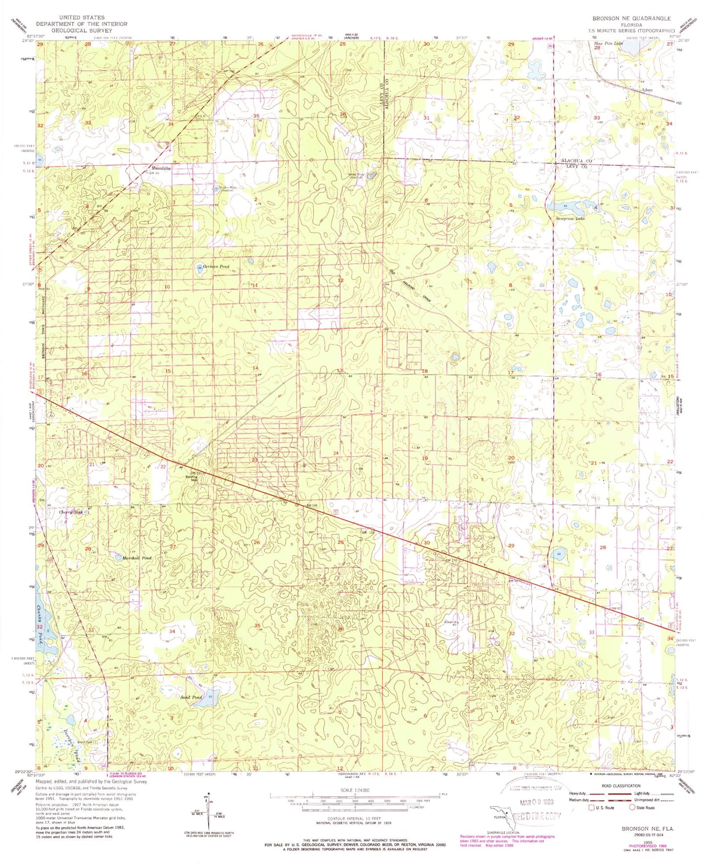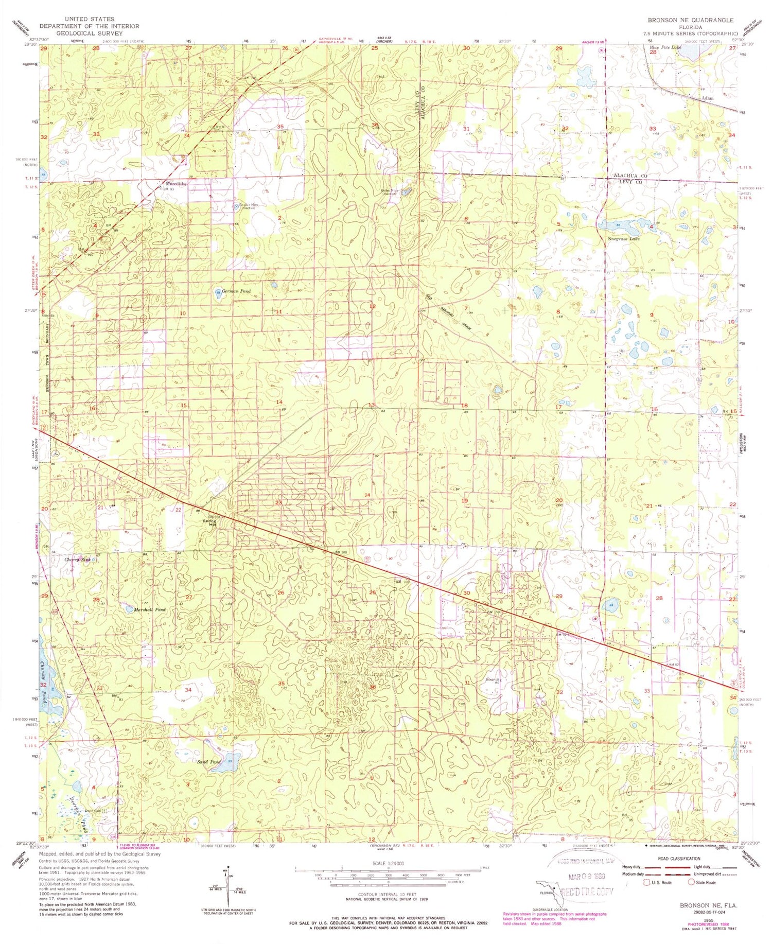
MyTopo
Classic USGS Bronson NE Florida 7.5'x7.5' Topo Map
Couldn't load pickup availability
Historical USGS topographic quad map of Bronson NE in the state of Florida. Map scale may vary for some years, but is generally around 1:24,000. Print size is approximately 24" x 27"
This quadrangle is in the following counties: Alachua, Levy.
The map contains contour lines, roads, rivers, towns, and lakes. Printed on high-quality waterproof paper with UV fade-resistant inks, and shipped rolled.
Contains the following named places: Adam, Bailey Mine, Bronson Church of God, Cherry Sink, East Bronson Census Designated Place, German Pond, Iglesia Evagelica el Tabor, Iglesia Pentecostal Redimidos por Cristo, Iglesia Pentecostal Templo de la Alabanza, Marshall Pond, Merediths, Mount Olive African Methodist Elpiscopal Church, Sand Pond, Sawgrass Lake, Sinclair Mine, Smith Cemetery, Spring Hill, WFEZ-FM (Williston), Williston-Bronson Division, ZIP Code: 32621